 ultimate-guide
Cost of Aerial Real Estate Photography: 2026 Guide
Table of Contents
- What Drives the Cost of Aerial Real Estate Photography
- Real Estate Drone Photography Pricing: Package Tiers Explained
- Legal and Insurance Overhead: FAA Part 107 Drone Requirements
- Post-Production Complexity and What It Adds to Your Invoice
- Weather, Rescheduling Policies, and Hidden Costs to Watch For
- Benefits of Aerial Photography That Justify the Investment
- How to Evaluate Aerial Real Estate Photography Quotes
- Conclusion
Last Updated: August 18, 2026
What Drives the Cost of Aerial Real Estate Photography
Aerial real estate photography pricing reflects three core factors: property size and complexity, operator experience level, and geographic location. Understanding the cost means recognizing what you're paying for: FAA-licensed professionals, commercial-grade equipment, liability insurance, and post-production work that transforms raw footage into polished marketing assets.
Property Size and Complexity
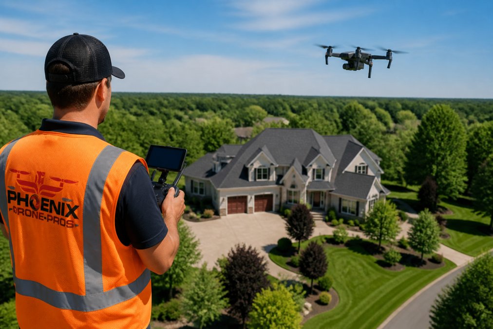
Property size is the most straightforward pricing driver. A standard residential listing takes far less flight time and editing than a sprawling estate with multiple outbuildings, mature tree coverage, or irregular lot geometry. Complexity adds time both in the field and in post-production, a property with a pool, detached garage, and elaborate landscaping generates more footage to sort through and more editing decisions to make.
Experience Level and Portfolio Quality
The gap between an entry-level drone operator and a seasoned commercial pilot is significant. Experienced operators make fewer passes, waste less flight time, and return footage requiring less corrective editing. The apparent savings from booking a cheaper operator often disappear once you factor in reshoots, extended turnaround time, or images that don't adequately showcase the listing.
Geographic Location and Travel Fees
Market rates vary by region, and travel mileage beyond a pilot's standard service area typically triggers a travel fee. For properties outside a pilot's home base, expect a line item for travel costs and potentially a minimum session fee. Any transparent provider should spell this out clearly upfront.
Real Estate Drone Photography Pricing: Package Tiers Explained
Most providers offer a base package, mid-tier package, and premium package, each adding deliverables and turnaround commitments.
| Package Tier | Typical Inclusions | Best For |
|---|---|---|
| Base / Standalone | 10-15 edited stills, standard turnaround | Single residential listing |
| Mid-Tier | 20+ stills, short aerial video clip, faster delivery | Mid-range or multi-feature properties |
| Premium | Full aerial videography, progression shots, priority turnaround | Luxury listings, commercial properties |
| Agency Volume | Bulk session pricing, dedicated pilot, priority scheduling | High-volume real estate agencies |
The right tier depends on the listing type and marketing goals. A starter condo rarely justifies the premium package, while a luxury property with acreage benefits from full aerial videography.
Standalone Session vs. Add-On Service
Aerial photography can be priced as a standalone session or bundled with broader real estate photography packages. The add-on route is often more cost-efficient per deliverable, though it may limit dedicated flight time and the number of angles captured. If the aerial component is central to the listing's marketing strategy, a standalone session with a dedicated drone pilot is usually better.
Volume Discounts for Real Estate Agencies
High-volume agencies have real negotiating leverage. Many operators offer meaningful discounts for agencies committing to a minimum number of sessions per month or quarter, including priority scheduling, a dedicated pilot, and faster turnaround. If your agency books drone sessions regularly, discuss volume pricing rather than paying the standard session rate each time.
Legal and Insurance Overhead: FAA Part 107 Drone Requirements
Professional commercial drone operations require legal and insurance infrastructure that separates them from consumer operations. FAA Part 107 governs commercial drone operations in the United States. Any drone pilot operating commercially, including for real estate photography, must hold a Remote Pilot Certificate issued by the Federal Aviation Administration. Obtaining and maintaining that certification requires passing a knowledge test, staying current with airspace regulations, and recertifying every 24 months.
Operating in controlled airspace, near airports, or above certain altitudes requires additional authorization through the FAA's LAANC system or formal waivers. A licensed drone pilot navigates these requirements as standard practice.
Liability insurance is equally critical. Commercial drone operators carry liability insurance to cover property damage, third-party injury, or equipment failure during a session. When you hire an FAA-licensed, fully insured operator, you're protected if something goes wrong.
Post-Production Complexity and What It Adds to Your Invoice
Raw drone footage is not a finished product. Post-production includes selecting the best frames, applying color grading to correct exposure and white balance, and delivering edited images in required resolution. For video, it means cutting footage into a coherent clip, adding transitions, and often syncing to music.
Post-production complexity tiers break down as follows:
- Standard editing: Culling, basic color correction, and delivery of edited stills. Fastest turnaround, lowest added cost.
- Enhanced editing: Advanced color grading, sky replacement for overcast days, perspective correction on aerial obliques.
- Full video production: Edited aerial videography with titles, music, and branded end cards. Requires the most post-production hours and carries the highest per-session cost.
The National Association of Realtors' research on visual marketing consistently identifies professional photography and video as top factors in buyer engagement with listings.
:::tip Ask your drone operator to show you the post-production workflow before you book. A provider who can walk you through their color grading process and typical turnaround time demonstrates the professional discipline that shows up in the final product.
Weather, Rescheduling Policies, and Hidden Costs to Watch For
Weather is the variable that disrupts more drone sessions than any other factor. Wind speeds above certain thresholds, rain, and low cloud cover all ground commercial drone operations. Most reputable operators have a formal rescheduling policy: if weather prevents a safe flight, the session is rescheduled at no charge.
Hidden costs to watch for in aerial real estate photography quotes:
- Rush turnaround fees: Expedited delivery often carries a premium.
- Extended travel mileage: Some providers charge per-mile fees beyond a certain radius.
- Additional editing rounds: Revision requests beyond included rounds can add per-hour charges.
- Airspace authorization fees: Certain locations require paid authorization or waiver processing.
- Staging or progression shots: Multiple sessions for before-and-after documentation are typically priced separately.
Request an itemized quote rather than a single session fee. Any provider confident in their pricing should break it down line by line.
Benefits of Aerial Photography That Justify the Investment
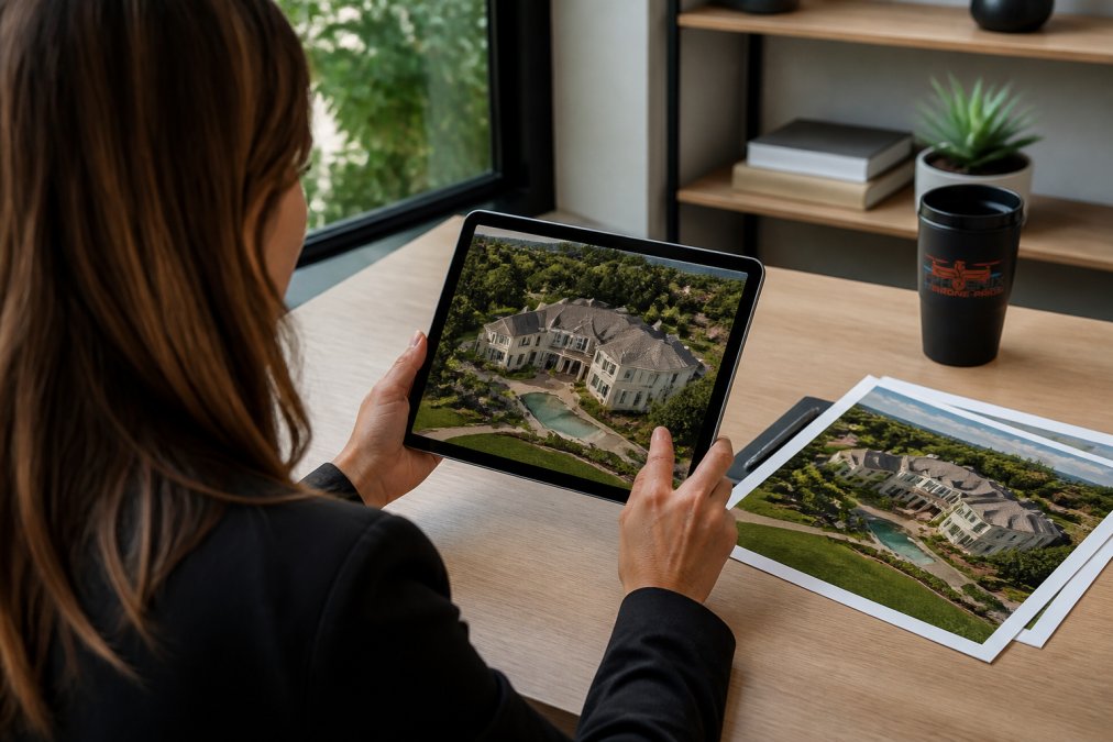
Aerial real estate photography delivers marketing advantages that ground-level photography cannot replicate. For any property where lot size, location, or surrounding context is a selling point, aerial imagery is the most efficient way to communicate that value to buyers.
The practical benefits include:
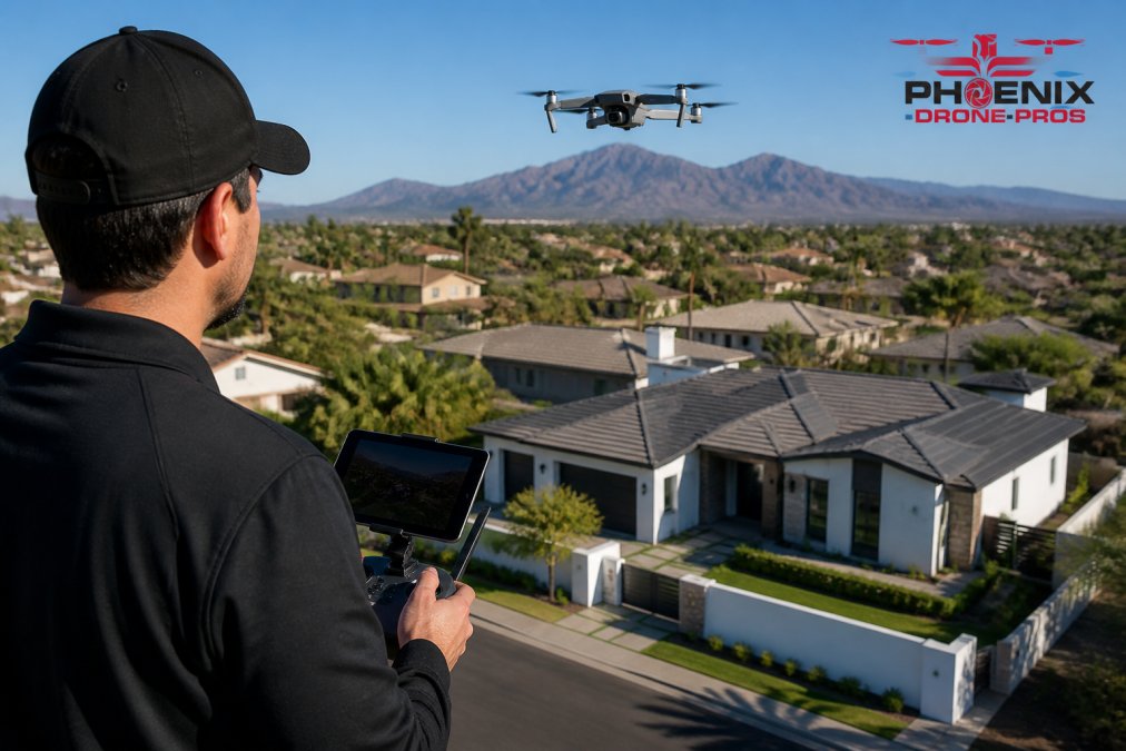
- Context and scale: Aerial obliques show the property in relation to its surroundings, communicating neighborhood character and lot size in a single frame.
- Differentiation: Listings with aerial imagery stand out in search results dominated by standard interior and exterior shots.
- Buyer pre-qualification: High-quality aerial footage attracts genuinely interested buyers, reducing wasted showing time.
- Commercial and development applications: For commercial properties and development projects, aerial photography provides accurate site documentation supporting planning and investor presentations.
According to the Drone Industry Insights annual market report, real estate is consistently one of the top commercial applications for drone services, driven by the measurable impact aerial imagery has on listing performance.
How to Evaluate Aerial Real Estate Photography Quotes
A structured approach to evaluating aerial real estate photography quotes focuses on five factors:
-
Certification and insurance documentation: Ask for proof of FAA Part 107 certification and current liability insurance. This is non-negotiable for commercial drone operations.
-
Portfolio quality: Review completed work, specifically aerial imagery of properties similar in size and type to yours. Look for consistent color grading, sharp focus, and professional composition.
-
Deliverable specifications: Confirm the number of edited images, video clip length if applicable, file formats, and resolution.
-
Turnaround time: A 48-to-72-hour turnaround is standard for most residential sessions. Faster turnaround for active listings is a meaningful differentiator.
-
Rescheduling and revision policies: Understand what happens when weather grounds the session and how many editing rounds are included in the base price.
The cheapest quote rarely wins on all five criteria. The best value is the provider who delivers professional-grade results, operates with full legal compliance, and stands behind their work with clear policies.
Phoenix Drone Pros brings over a decade of commercial drone experience to every session, with FAA certification, full liability insurance, and a portfolio built on consistent, professional results for real estate agents, brokers, and developers. For an accurate quote based on your specific property and deliverable requirements, contact us directly.
Pricing for aerial real estate photography varies across property types, locations, and service tiers. The real cost is shaped by operator experience, legal compliance, post-production scope, and the specific demands of your listing. Phoenix Drone Pros offers FAA-certified, fully insured aerial photography and videography services with the experience to handle everything from standard residential listings to complex commercial sites. Get in touch to discuss your project and receive accurate scheduling and pricing for your specific needs.
Frequently Asked Questions
How much does aerial real estate photography typically cost?
Pricing for aerial real estate photography varies based on property size, session length, deliverable type, post-production requirements, and the drone operator's experience. A basic package covering edited still images for a residential listing will cost less than a package that adds aerial videography, color grading, and same-day delivery. Because market rates differ by service area, the most reliable step is to request a quote directly from a local FAA-licensed drone pilot who can assess your specific property.
What factors influence the price of drone photography for listings?
Several variables move the session fee up or down: property size and complexity, the number of high-resolution edited images or video clips included, travel mileage outside the operator's standard service area, turnaround time, and whether aerial videography is added. The drone pilot's certification status and liability insurance also factor in, since FAA Part 107 compliance and proper coverage add legitimate overhead costs that professional operators build into their rates.
Is it worth paying for professional aerial photography for real estate?
For most residential listings above a certain price point, and nearly all commercial properties, professional aerial photography pays for itself in marketing impact. Aerial obliques show lot size, proximity to amenities, and staging context that ground-level photos cannot convey. Listings with professional drone imagery consistently attract more online views. The key is choosing an FAA-licensed, fully insured drone operator whose portfolio demonstrates the image quality your listing actually needs.
What is included in a standard aerial real estate photography package?
A standard package typically covers a set number of high-resolution edited images captured during a single session, basic color grading, and digital delivery within an agreed turnaround time. Higher-tier packages add aerial videography, video clip editing, aerial obliques from multiple angles, and faster delivery. Add-on services such as 3D mapping, progression shots for construction sites, or same-day turnaround are usually priced separately. Always confirm exactly what is included before booking.
This article was written using GrandRanker