 how-to
How Do Drone Photogrammetry Workflows Work for Developers?
Last Updated: October 26, 2026
Quick Summary
Drone photogrammetry turns overlapping aerial photos into measurable maps and 3D models, moving through pre-flight calibration, flight planning, image acquisition, and post-processing validation. For developers, one repeatable flight can deliver an orthomosaic, point cloud, and 3D model for site planning, progress records, and buyer-facing assets.
- Most mapping flights use 70-80% front overlap and 60-70% side overlap.
- A weekly cadence gives you 52 comparable snapshots a year for progress monitoring.
- Place at least four control points across the site, plus checkpoints you don't feed the software.
- Set the project CRS to the one your civil team uses before processing, not after.
- A 10-15% cull rate is normal on a windy day before image alignment.
Table of Contents
- What a Drone Photogrammetry Workflow Delivers for a Development Site
- Drone Mapping Flight Planning for Repeatable Site Capture
- Photogrammetry Ground Control Points and Accuracy Validation
- Drone Construction Progress Monitoring on a Weekly Schedule
- Choosing Construction Site Mapping Software That Fits Your Deliverables
- Common Mistakes That Undermine Drone Photogrammetry Results
- Scheduling Your First Site Mapping Flight
- Frequently Asked Questions
What a Drone Photogrammetry Workflow Delivers for a Development Site
Drone photogrammetry is the process of turning overlapping aerial photos into measurable maps and 3D models. For developers, that means one flight can produce a site plan, a progress record, and a buyer-facing asset. The market reflects that demand: Research and Markets (2026) values real estate drone services at USD 0.67 billion, heading to USD 1.29 billion by 2030.
Below, we break down each stage, from flight planning to deliverables, so you can brief a pilot or evaluate a vendor without guesswork.
Orthomosaics, Point Clouds, and 3D Models Explained
Three deliverables do most of the work:
- Orthomosaic: a flat, scaled photo map of the site, corrected so distances read true.
- Point cloud: a dense set of measured points that captures elevation and structures.
- 3D model: a textured mesh you can spin, section, and share with buyers or contractors.
A typical drone photogrammetry workflow moves through pre-flight calibration, flight planning, image acquisition, and post-processing validation, as described in ScienceDirect's UAV real estate mapping research. Each output serves a different audience. Contractors want the point cloud. Investors want the model. Lenders often just want the orthomosaic.
Drone Mapping Flight Planning for Repeatable Site Capture
Repeatability starts before takeoff. The goal is simple: fly the same lines, at the same height, with the same overlap, every visit, so month-over-month comparisons are apples to apples.
Most mapping flights use 70-80% front overlap and 60-70% side overlap. Cut overlap and the software struggles to stitch images. Raise it and flight time climbs. A fixed altitude, a fixed camera angle, and fixed waypoints give you a baseline you can compare month over month.
Set altitude from the ground sample distance you need
Ground sample distance (GSD) is the real-world size of one pixel on the ground, and it drives what you can measure (Ground sampling distance (GSD) in photogrammetry). A common rule of thumb is that GSD in inches per pixel is roughly equal to flight altitude in feet divided by 300 for a 20-megapixel-class camera with a wide lens. In practice, most practitioners find that 1 inch per pixel (about 300 ft AGL) is a good default for progress orthomosaics, while 0.5 inch per pixel (about 150 ft AGL) is better for facade detail and stockpile volume checks.
Lock the mission file and the metadata
A saved mission file is the single highest-leverage habit in repeatable capture. Load it, check wind and airspace, and launch. Same path, same output, no arguments about whether this month's map matches last month's. Record the mission name, firmware version, camera settings, and date in a flight log so a future pilot can reproduce the flight even if the original crew is gone.
Pick a cadence that matches the construction schedule
Weekly flights hit the sweet spot for most projects. Daily capture buries your team in data. Monthly capture lets problems sit for four weeks. A weekly cadence gives you 52 comparable snapshots a year, enough to spot schedule slippage, verify contractor claims, and build a time-lapse for investors. Increase to twice weekly during earthwork, structural steel, and facade phases, when change is fastest; drop to biweekly during interior fit-out, when the exterior looks the same for weeks.
Set weather and lighting limits in advance
Harsh midday shadows wreck image matching, and wind above roughly 15-20 mph degrades both flight stability and image sharpness. A practical rule is to fly within two hours of solar noon only when you need even lighting, and otherwise favor mid-morning or late-afternoon light. Skip flights after rain until standing water and mud settle, and avoid days with haze or smoke that flatten contrast.
Handle airspace and site safety before the first flight
In controlled airspace, commercial operations generally require FAA authorization through the Low Altitude Authorization and Notification Capability (LAANC) or a Part 107 airspace authorization, and operations over people or at night carry additional requirements under Part 107. Confirm the site's airspace class on the FAA's UAS Facility Maps before scheduling.
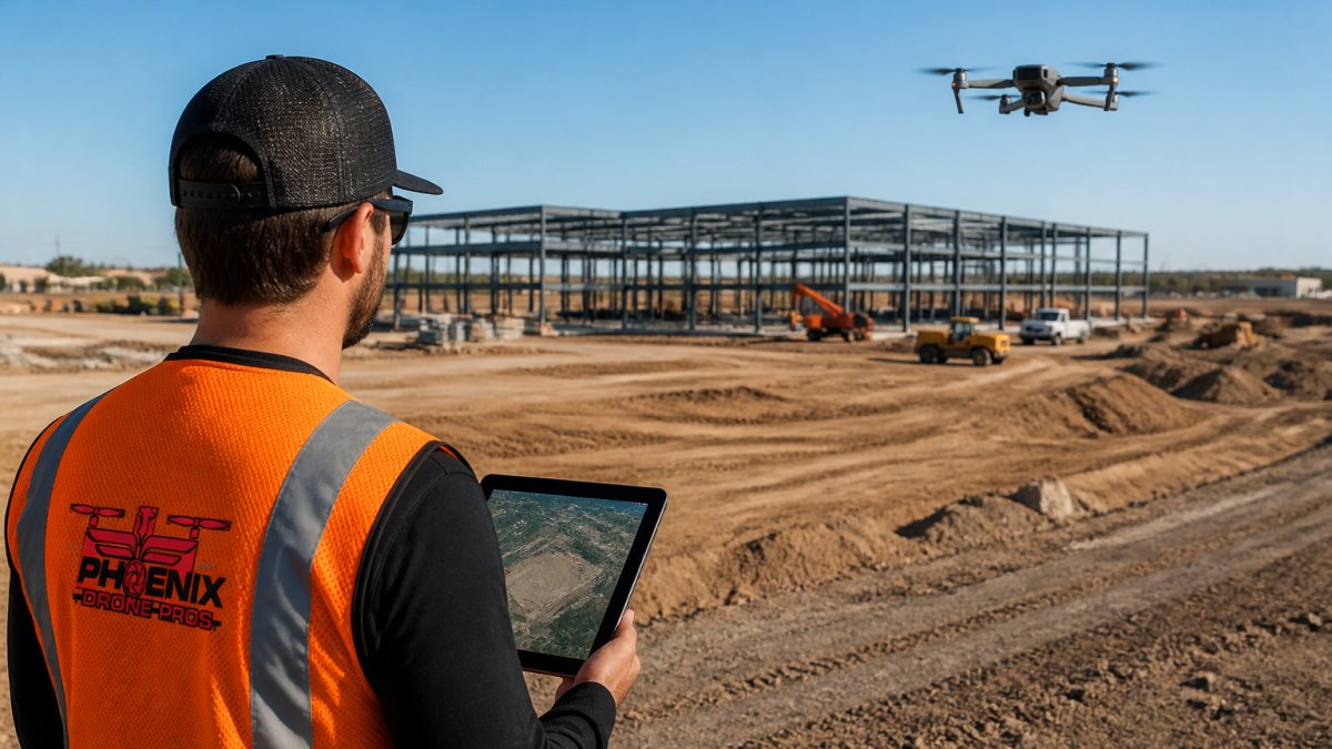
What most guides miss is that repeatability is a documentation problem as much as a flying problem. The mission file, the flight log, and the site flight card together are what let you compare this month's map to last month's without re-litigating settings.
Photogrammetry Ground Control Points and Accuracy Validation
Ground control points are physical markers with known coordinates, and they anchor your map to the real world. Without them, a model looks right but can drift by feet, not inches.
Accuracy depends on how you measure it. Vinode's guidance on photogrammetry for real estate development puts accuracy at roughly one to three times ground sample distance, and notes that centimeter-level absolute accuracy depends on the stated measurement basis. For a deeper comparison of accuracy methods, see LiDAR vs Photogrammetry for Construction Mapping.
A practical validation routine:
- Place at least four control points across the site, plus checkpoints you don't feed the software.
- Shoot with RTK-enabled equipment where precision matters.
- Compare checkpoint coordinates to the processed model.
- Log the error and keep it with the deliverable.
Drone Construction Progress Monitoring on a Weekly Schedule
Weekly flights hit the sweet spot for most projects. Daily capture buries your team in data. Monthly capture lets problems sit for four weeks.
A weekly cadence gives you 52 comparable snapshots a year, which is enough to spot schedule slippage, verify contractor claims, and build a time-lapse for investors. If you are still deciding on a cadence, read how often construction progress should be photographed.
Drone construction progress monitoring works best when the deliverable lands fast. A map that arrives two weeks late answers a question nobody is asking anymore.
Choosing Construction Site Mapping Software That Fits Your Deliverables
The right software depends on what you hand over, not on which demo looked best. Two layers matter: the processing engine that turns photos into geometry, and the delivery layer that puts outputs in front of contractors, lenders, and investors.
Processing settings that separate a usable model from a pretty one
Most photogrammetry engines follow the same pipeline: image selection, alignment (structure from motion), dense reconstruction, mesh and texture generation, and orthomosaic and elevation model export. The settings that matter most:
- Image selection. Cull blurry, overexposed, and duplicate frames before alignment. A 10-15% cull rate is normal on a windy day; feeding bad frames in produces tie-point errors that are hard to trace later.
- Alignment quality. Use the highest alignment setting for final deliverables and a draft setting for a quick sanity check. If alignment fails, the usual culprits are low overlap, motion blur, or a scene with repetitive texture such as bare graded earth or a uniform facade.
- Reconstruction and mesh density. Match mesh density to the use case. Volume and cut/fill work needs a dense point cloud; investor-facing models can use a lighter mesh with higher texture quality to keep file sizes shareable.
Quality assurance checks before you accept delivery
A practical QA routine:
- Checkpoint residual. Compare the coordinates of checkpoints withheld from processing against the model. A common target for RTK/PPK-assisted capture with ground control is residuals in the low single-digit centimeters horizontally and roughly double that vertically; photogrammetry-only capture without control is typically measured in feet, not inches.
- Orthomosaic seam check. Zoom to building edges and stockpile boundaries and look for doubled edges or smeared texture, which signal alignment problems.
- Scale check. Measure a known distance, such as a building pad or a curb line, and compare to the plan.
- Coverage check. Confirm the orthomosaic has no holes over the areas you care about; holes usually mean insufficient overlap or a flight line that clipped the site edge.
Common failures and the fix
- "Fluffy" or doubled geometry on fences, power lines, and thin structures: photogrammetry struggles with thin, repetitive features. Fly lower with more overlap, or accept that these features need LiDAR or manual survey.
- Color banding across the orthomosaic: caused by changing light between flight lines. Fly in consistent light and avoid passing clouds.
- Model drift between visits: usually a control point or CRS mismatch. Reuse the same control point coordinates and the same CRS every flight.
Deliverables and integrations by audience
| Deliverable | Primary audience | Typical integration |
|---|---|---|
| Orthomosaic (GeoTIFF) | Civil engineers, lenders | CAD and GIS via world file or GeoTIFF tags |
| Point cloud (LAS/LAZ) | Earthwork and grading contractors | CAD, GIS, and volume tools |
| Textured mesh (OBJ/FBX) | Investors, marketing, BIM coordination | BIM viewers and presentation tools |
| Digital elevation and surface models | Design team, drainage analysis | Civil design and GIS |
| Progress report (PDF) | Project managers, lenders | Project-management and document-control systems |
Ask three questions before you buy:
- Can it export the file types your contractors and lenders actually open, with the CRS embedded?
- Does it store your flight history so comparisons stay consistent, and can it diff two epochs to show change?
- Does it connect to the systems your team already uses, through an API, a shared viewer, or a documented export path?
Common Mistakes That Undermine Drone Photogrammetry Results
Most bad maps trace back to a handful of avoidable errors.
- Skipping control points. Pretty models with no accuracy check are decoration.
- Changing flight settings between visits. New altitude, new comparison problem.
- Flying at midday. Harsh shadows wreck image matching. Early or late light is better.
Watch out: a vendor who quotes accuracy without naming the measurement basis is guessing. Ask for the checkpoint log.
Scheduling Your First Site Mapping Flight
Start with one flight and one clear deliverable. When you are ready to book, visit our construction sites page. Pick a site with defined boundaries, confirm airspace clearance, and set your control points a day before the flight.
Your first-flight checklist:
- Confirm site access and any permit requirements
- Set control points and record coordinates
- Save a mission file for repeat visits
Phoenix Drone Pros is FAA certified and fully insured, with more than a decade of commercial drone experience. If you'd rather build in-house capability, our Done flight training covers the piloting and mission-planning fundamentals behind repeatable capture.
Frequently Asked Questions
How accurate is drone photogrammetry for construction site mapping?
Ask your operator what ground sample distance they fly at and how they validate against known points before you rely on a model for as-built or quantity decisions.
How often should developers capture drone imagery for construction progress monitoring?
Tie each capture to a milestone in your schedule so the imagery answers a specific question rather than just accumulating files.
What should a drone mapping flight plan include?
It should also note any airspace or site restrictions.
Which drone mapping software creates orthomosaics and 3D models?
Common photogrammetry packages include other processing tools that output orthomosaics, point clouds, and digital elevation models. The right choice depends on your deliverables: marketing visualization, progress documentation, or quantity takeoffs. Check that the software supports ground control point import and exports your team can open, and confirm who owns the raw images and processed files before the first flight.
Getting a site mapped once is easy. Getting the same map, week after week, with accuracy you can defend, is the hard part. Phoenix Drone Pros handles that with FAA-certified crews, full insurance, and repeatable flight plans built for progress documentation. Get started with Phoenix Drone Pros and turn every site visit into data your team can use.