 ultimate-guide
Drone Photography Tips for Real Estate: 2026 Guide
Table of Contents
- Why Aerial Photos Sell Listings Faster
- FAA Part 107 Requirements for Real Estate Drone Photography
- Best Drone Settings for Real Estate Photography
- Real Estate Drone Photography Pricing Guide
- Flight Planning and Safety Checklist
- Post-Processing and HDR Bracketing Workflow
- Marketing Your Drone Services to Agents
- Conclusion
- Frequently Asked Questions
Last Updated: September 14, 2026
Why Aerial Photos Sell Listings Faster
When it comes to drone photography tips for real estate, aerial photography captures a property from an elevated, unmanned aircraft to show its footprint, lot lines, and surroundings in one frame. Listings with drone coverage stand out because buyers see context ground photos cannot: lot shape, roofline, distance to a greenbelt, and how the home sits against its neighbors.
It comes down to attention. A buyer scrolling a portal makes a split-second decision, and the aerial shot is the one image that looks different from every other listing. A decade of commercial work on high-end properties shows a consistent pattern: the aerial image stops the scroll, and the interior photos close the showing.
Aerial perspective also documents the property for the seller: roof condition, pool placement, and boundary lines appear in the same set, reducing questions after a showing.
FAA Part 107 Requirements for Real Estate Drone Photography
FAA Part 107 requirements for real estate drone photography mean any paid aerial shoot is a commercial operation flown by a remote pilot with a current certificate. There is no hobbyist exemption when money changes hands, even for a ten-minute flight.
The practical checklist looks like this:
- Hold a current Remote Pilot Certificate and carry it on site
- Register the aircraft and mark it with the registration number
- Fly under 400 feet above ground level and within visual line of sight (faa.gov)
- Check airspace before every flight and request authorization where required
- Never fly over people who are not part of the operation
Airspace is where most agents get surprised. Large metro areas sit under controlled airspace, and flights near an airport typically require authorization through the FAA's Low Altitude Authorization and Notification Capability program before the props ever spin. A pilot who skips that step is flying illegally, and the agent who hired them inherits the risk.
Certifications and insurance are not paperwork for the pilot's benefit; they are the agent's protection. If a drone comes down on a roof or a neighbor's car, the question becomes whose policy responds. That is why Phoenix Drone Pros flies FAA-certified and fully insured on every job.
Best Drone Settings for Real Estate Photography
The best drone settings for real estate photography start with a wide-angle lens, low ISO, and bracketed exposures rather than a single frame. Settings matter more than the aircraft: a mid-range drone configured right beats a flagship flown on auto.
Here is a starting point that works on most listings:
| Setting | Starting Value | Why It Matters |
|---|---|---|
| ISO | 100 | Keeps noise out of shadows |
| Aperture | f/2.8 to f/4 | Balances sharpness and depth |
| Shutter speed | 1/120s or faster | Freezes the frame in wind |
| Exposure mode | AEB, 3 to 5 frames | Feeds the HDR merge later |
| Format | RAW | Preserves highlight recovery |
| White balance | Locked, not auto | Prevents color shifts mid-set |
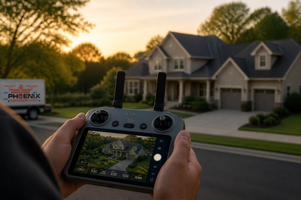
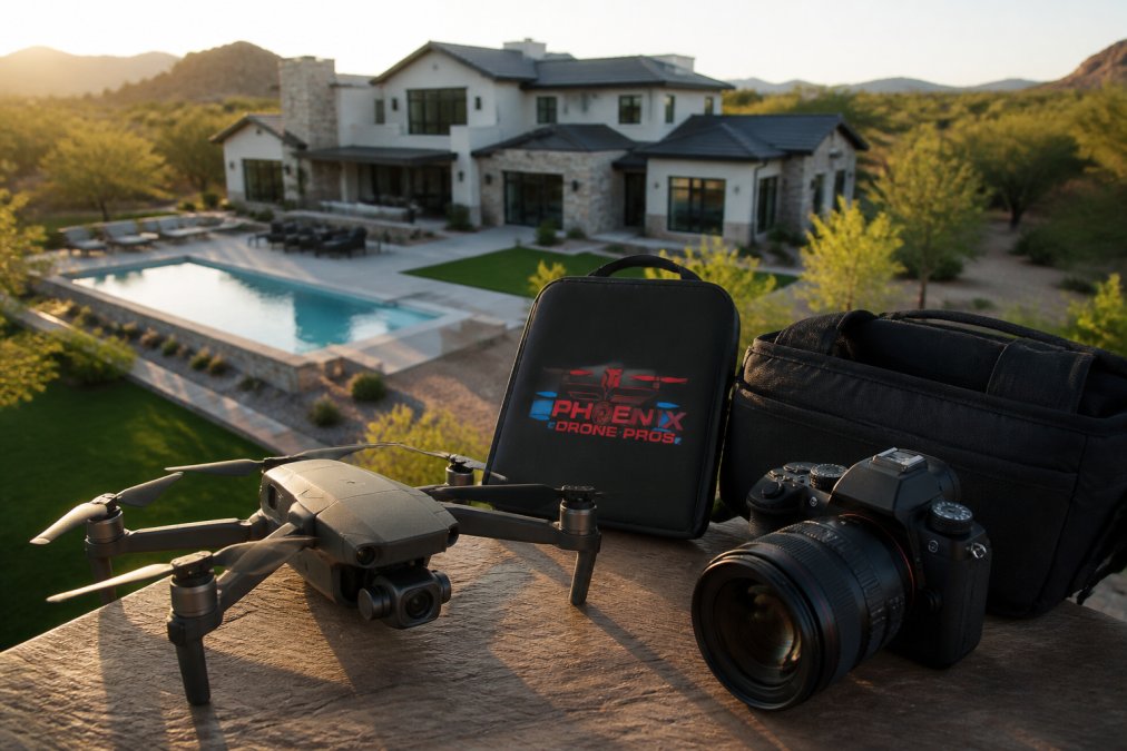
Shoot in RAW, not JPEG. RAW files carry the dynamic range to pull detail from a bright sky and a shaded patio in the same image. Keep ISO low, because sensor noise is far more visible from the air than at ground level.
Megapixels get oversold. A 20-megapixel sensor is plenty for listing photos and most print use; gimbal stabilization and disciplined exposure separate a professional result, not the spec sheet.
Real Estate Drone Photography Pricing Guide
Real estate drone photography pricing depends on the scope of the shoot, the number of deliverables, and travel distance, so a single flat number rarely tells the whole story. What most guides leave out is the structure, how to package the work so an agent can compare quotes apples to apples and budget against a listing date.
The three pricing models agents actually see
Most operators quote using one of three models, each with a trade-off:
- Per-listing flat rate. One price per property, regardless of flight time. Easiest to budget and compare across vendors. The trade-off: a large lot or complex roofline eats into the operator's margin, so some pilots pad the rate.
- Hourly or half-day rate. The agent pays for time on site plus editing. Works well for multi-property shoots or construction progress documentation. The trade-off: the agent carries the risk of weather delays and re-flights.
- Tiered packages. A base tier for stills, a mid tier adding video, and a top tier adding 3D mapping or a full walkthrough. Most agents prefer this because it maps to how they present the listing to the seller.
What actually drives the number
Four variables move the price most:
- Deliverable count and type. Stills are cheapest. Video adds editing time. 3D mapping and floor-plan capture add flight and processing time.
- Turnaround. A 24-hour rush delivery typically carries a premium because it forces the editor to reshuffle other jobs (2022 Cliff Edom New America Award).
- Travel distance. Operators commonly apply a travel fee beyond a set radius from their base. Ask what that radius is before you book.
- Re-flight policy. Weather, a locked gate, or a last-minute staging change can force a second trip. A clear policy on who pays for that visit is worth more than a small discount on the first.
How to compare quotes without getting burned
When two quotes differ widely, the difference is usually in the fine print, not the flight. Ask every operator the same four questions:
- Is the price per listing or per hour, and what happens if the shoot runs long?
- What is the turnaround, and is rush delivery included or an add-on?
- Is there a travel fee, and what is the radius?
- What is the re-flight policy if weather grounds the first attempt?
A quote that answers all four in writing beats a lower number that answers none. Phoenix Drone Pros provides scheduling and pricing information on request so agents can plan against a listing date.
Flight Planning and Safety Checklist
Among drone photography tips for real estate, flight planning is the difference between a shoot that takes twenty minutes and one that eats an afternoon. The work happens before you drive to the property. Coordinating your flight path with the specific nuances of staging homes for photography ensures that every aerial angle highlights the property's most marketable features without requiring unnecessary repositioning.
- Confirm airspace class and request LAANC authorization if needed
- Check the weather: wind, gusts, and visibility
- Review the property on a map and identify no-fly zones and obstacles
- Plan the flight path so the sun stays behind the aircraft
- Charge batteries and inspect propellers for nicks or cracks
- Confirm visual line of sight for the entire route
- Set a return-to-home altitude above the tallest obstacle
Battery management catches amateurs. Cold mornings cut flight time, and a battery that reads full on the ground can sag under load. Carry more batteries than you think you need and land with reserve.
Propeller maintenance is the other overlooked item. A small nick throws off balance and shows up as vibration no post-production removes cleanly. Replace props at the first sign of damage.
Post-Processing and HDR Bracketing Workflow
HDR bracketing is the technique of shooting several exposures of the same frame and merging them so both the sky and the shadows hold detail. It is the single biggest quality gap between amateur and professional aerial work.
The workflow runs in a fixed order:
- Import the RAW frames and group each bracket set
- Merge each set into a single HDR image
- Correct lens distortion and straighten the horizon
- Apply color grading for a consistent look across the set
- Export at delivery size with sharpening applied last
Straighten the horizon first. A tilted horizon is the fastest way to make an aerial shot look amateur, and it is the first thing a buyer's eye catches. Color grade after correction, not before, so you grade a clean file.
Exposure compensation is your friend on bright days. Bracket wider than you think you need, because recovering a blown sky is far harder than pulling detail from a slightly dark frame.
Marketing Your Drone Services to Agents
Marketing drone services to agents comes down to one thing: making the agent look good to their seller. Agents buy aerial photos to win the listing and justify their commission at the closing table. Pilots who win repeat business remove friction from the agent's workflow, and the biggest source of friction is file delivery that does not match what the MLS will accept.
What works in practice
- Lead with the listing presentation, not the equipment list. The agent buys a marketing asset, not a spec sheet.
- Show a before-and-after of the same property shot from the ground and from the air. The contrast sells the service faster than any portfolio grid.
- Offer a fast, predictable turnaround so the agent can plan around a launch date.
- Deliver files sized for the MLS, social, and print without the agent having to ask for a second export.
MLS delivery specs: the part most pilots get wrong
Listing platforms have their own image requirements, and a file that looks perfect on a laptop can get rejected on upload or compressed into mush by the platform's resizer. Specifics vary by MLS, so the operator's job is to know the local rules and deliver to them the first time. A few constants hold across most systems:
- Format. JPEG is the near-universal upload format. RAW and TIFF files are working formats, not delivery formats, convert before you send.
- Resolution and file size. Most MLS platforms cap uploads at a maximum file size and pixel dimension on the long edge. A common pattern: deliver at roughly 2000 to 3000 pixels on the long edge and keep each file under the platform's size ceiling. Oversized files get downsampled, which can soften the image more than a controlled export.
- Aspect ratio. The standard listing frame is landscape, close to a 3:2 or 4:3 ratio. Vertical crops are for social, not for the MLS grid. Deliver both if the agent runs social, but label them clearly so the wrong file does not get uploaded to the listing.
- Color space. Deliver in sRGB. A file exported in a wider color space can shift when the platform or the agent's browser renders it.
- Sharpening. Apply output sharpening last, after resizing. Sharpening before a resize produces halos the platform's compression makes worse.
Package the delivery, not just the files
A delivery the agent can use without thinking is the real product. A common pattern that works well:
- A folder of full-resolution stills for print and the agent's own marketing.
- A second folder of MLS-sized JPEGs, already cropped to the standard landscape ratio.
- A third folder of vertical crops sized for social, clearly labeled.
- A short one-page note listing the shoot date, the pilot's certificate number, and the property address, so the agent has the paperwork on hand if the brokerage asks.
That last item matters more than pilots expect. Brokerages increasingly ask agents to confirm aerial marketing was flown legally, and handing over the certificate number with the files makes that a non-issue.
For agents managing commercial property, a video offering memorandum turns a static listing into a walkthrough that travels well to out-of-state buyers. That is a different product from a residential aerial set, and it is worth pricing separately.
Conclusion
The gap between an amateur aerial shot and a professional one is rarely the drone. It is the certification, the planning, the settings, and the post-production discipline that turn a flight into a marketing asset. Agents who treat aerial coverage as a checkbox get checkbox results.
Phoenix Drone Pros brings FAA-certified, fully insured pilots with over a decade of commercial experience to every listing, from single-family aerials to construction progress documentation and thermal roof inspections. Our team handles flight planning, HDR processing, and MLS-ready delivery so you can focus on the seller, not the logistics.
Get started with Phoenix Drone Pros and put aerial coverage to work on your next listing.
Frequently Asked Questions
What FAA regulations apply to commercial real estate drone photography?
Commercial drone operations require a Remote Pilot Certificate under FAA Part 107. You must fly below 400 feet, keep the drone within visual line of sight, and avoid no-fly zones. LAANC authorization is needed near airports. For real estate, you also need permission from the property owner before flying over private land. Phoenix Drone Pros holds FAA certification and full insurance for every job.
How much do drone real estate photographers make?
Earnings vary based on location, experience, and services offered. Aerial photography for a single listing might be part of a broader package, while construction progress documentation or 3D mapping commands higher rates. Many pilots charge per project or hourly. For specific pricing on your property, contact Phoenix Drone Pros directly for a quote tailored to your needs.
What are the best drone settings for real estate photography?
Use RAW format, ISO 100, and shutter speed around 1/500s for sharp images. Enable HDR bracketing to capture dynamic range between bright skies and shadowed interiors. A wide-angle lens (24mm equivalent) fits more property into each frame. Set white balance manually to avoid color shifts. These settings help you deliver professional-quality aerial photos that make listings stand out.
How do I choose the best time of day for aerial property shots?
The golden hour, within an hour after sunrise or before sunset, provides soft, warm light that flatters exteriors. Midday sun creates harsh shadows that hide details. Overcast days work well for even lighting but can look flat. For properties with west-facing features, morning light is better; east-facing homes benefit from afternoon shoots. Phoenix Drone Pros schedules flights around optimal lighting for each property.