 ultimate-guide
Professional Drone Photography: Complete 2026 Guide
Table of Contents
- What Professional Drone Photography Delivers
- Real Estate Drone Photography Pricing and What Affects Cost
- FAA Part 107 Certified Drone Pilots: What This Means for Your Project
- Aerial Construction Progress Photography: Tracking Your Project
- Drone Roof Inspection Services: Safety and Accuracy
- Technical Quality: Equipment, 4K HDR, and Gimbal Systems
- Post-Production Workflow: From Raw Footage to Finished Deliverables
- Conclusion
Last Updated: August 24, 2026
What Professional Drone Photography Delivers
Professional drone photography captures aerial perspectives that ground-level cameras cannot reach, revealing property features, dimensions, and context essential for informed decision-making. The difference between amateur and professional work comes down to equipment quality, pilot certification, and post-production expertise. A consumer-grade drone with an untrained operator produces soft images and amateurish footage, while a professional using cinema-grade equipment and color grading delivers sharp, compelling visuals that stand out in competitive markets.
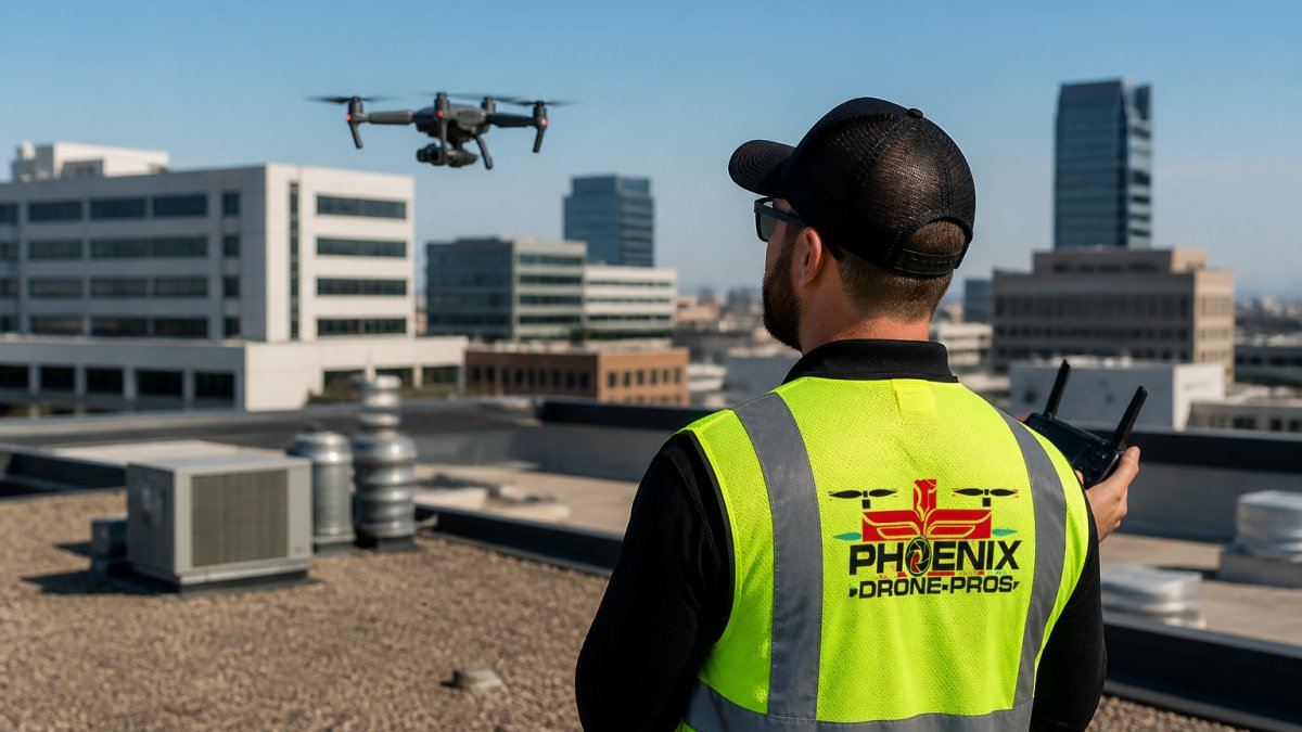
At Phoenix Drone Pros, we've spent over a decade refining what professional drone photography means in practice: understanding how light interacts with landscape features, knowing which flight patterns showcase a property's best angles, and delivering color-graded files ready for immediate use. Professional drone photography transforms how properties are marketed, generating more inquiries for agents, documenting construction progress for managers, and providing detailed roof inspections without climbing risk.
Real Estate Drone Photography Pricing and What Affects Cost
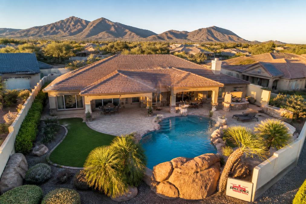
Real estate drone photography pricing varies based on property type, deliverables, turnaround time, and airspace complexity.
Property Size and Complexity
A small residential lot typically costs less than a multi-building commercial complex. However, complexity matters as much as size. A property with pools, extensive landscaping, or architectural features requiring multiple angles takes longer to photograph and edit than a simple rectangular property.
Airspace Restrictions and Flight Planning
Airspace complexity significantly affects pricing. A property in open airspace is straightforward, while properties near airports or in Class B, C, or D airspace require FAA coordination through LAANC authorization or formal waivers. This administrative work adds hours and expertise.
Deliverables and Package Scope
A basic package might include edited aerial photos suitable for a listing. A mid-tier package typically includes 4K video, edited photos, and platform-optimized files. A comprehensive package might add 3D virtual tours, orthomosaic maps, or thermal imaging. Ask exactly what's included.
Turnaround Time
Standard turnaround is 48-72 hours from shoot to delivery. Rush delivery (24 hours or same-day) costs more because it requires prioritization and compressed post-production. Plan your timeline to avoid rush fees if budget is tight.
Video vs. Photos vs. Hybrid Packages
Photography-only packages are typically least expensive. Video requires longer flight times and significantly more post-production work. Hybrid packages (photos + video) often offer better value than purchasing each separately.
Seasonal and Market Demand
Spring and early summer are peak real estate seasons with premium rates and longer wait times. Winter months typically see lower demand and more flexible pricing.
Evaluating Cost vs. Value
The cheapest quote is not always the best investment. When comparing quotes, ask for samples of previous work and references from recent clients. Verify FAA Part 107 certification and liability insurance. Budget for quality, the lowest price that meets your actual needs is the best value, and professional drone photography typically returns itself through faster sales, higher perceived value, or better project management.
FAA Part 107 Certified Drone Pilots: What This Means for Your Project
An FAA Part 107 certification means a drone pilot has passed a knowledge test, demonstrated flight proficiency, and maintains currency with FAA regulations (faa.gov). This certification is required by federal law for any commercial drone operation in the United States.
Part 107 Flight Rules and Restrictions
Part 107 regulations govern flight altitude (maximum 400 feet above ground level), line-of-sight operation, and airspace classifications (faa.gov). Flying in controlled airspace without explicit FAA authorization is a federal violation. A professional operator knows these boundaries and either operates outside restricted airspace or files for a waiver when necessary.
Liability and Insurance Implications
When a drone operator violates Part 107 regulations, liability can fall on both the operator and the property owner who hired them. The FAA can issue civil penalties up to $75,000 per violation (faa.gov). A certified, insured operator carries commercial drone liability insurance covering bodily injury and property damage, protecting you if something goes wrong. An uncertified operator offers no such protection, and you could be personally liable for damages.
When hiring a professional service, ask to see proof of current Part 107 certification and a certificate of insurance. Legitimate operators provide documentation immediately. If you're interested in operating drones yourself, done flight training programs can prepare you for Part 107 certification and safe operational practices.
Airspace Authorization and Flight Planning
For properties in restricted airspace, a professional operator files for authorization through the FAA's LAANC system or submits a formal waiver request. A certified pilot knows which process applies to your location and handles the paperwork, saving time and money.
Operational Safety Protocols
Part 107 certification requires pilots to maintain detailed flight logs, conduct pre-flight equipment checks, and follow weather minimums. Professional operators document every flight and understand when NOT to fly due to high winds, low visibility, or equipment issues. When you hire a professional drone photography service, you're paying for legal compliance, regulatory expertise, and protection against liability.
Aerial Construction Progress Photography: Tracking Your Project
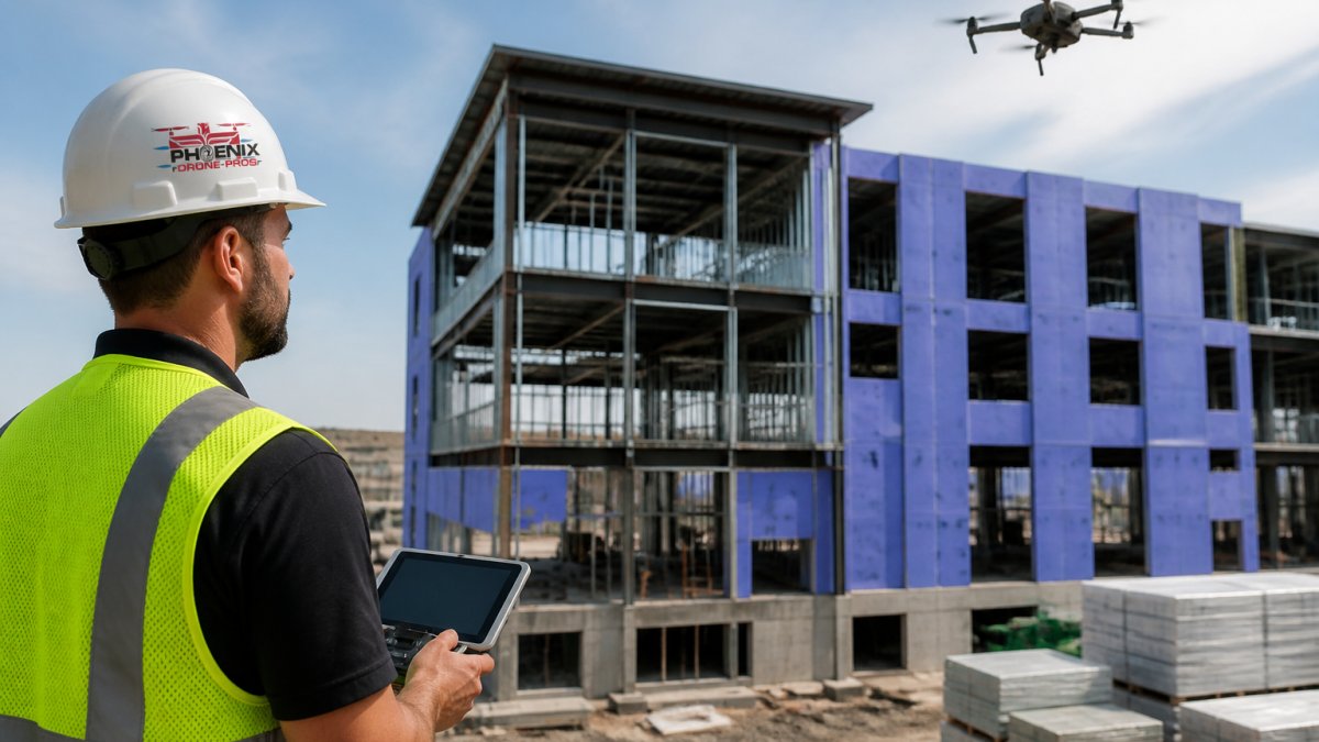
Construction projects benefit from weekly or bi-weekly aerial documentation. Drone footage provides an objective record of progress, site conditions, and equipment placement impossible to achieve from ground level. For project managers, aerial photography documents timelines for stakeholder reports, creates evidence of work completed for payment disputes, tracks material stockpiles, identifies safety issues, and generates marketing content.
Weekly drone flights create a visual timeline far more compelling than still photos or written reports. Timelapse sequences showing progress over weeks or months help stakeholders understand project momentum and provide documentation if disputes arise about timeline or work completion. preparing for listing photos.
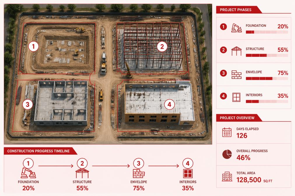
Professional operators plan construction documentation flights carefully, establishing consistent flight paths, standardized times of day, and consistent weather conditions so images remain comparable. They deliver organized files with clear dating and location information, and some provide 3D orthomosaic maps showing the entire site from above with precise measurements.
Drone Roof Inspection Services: Safety and Accuracy
Roof inspections traditionally required climbing onto the roof, a dangerous proposition on steep, fragile, or aging materials. Drone roof inspection services eliminate that risk while providing detailed visual documentation. A professional drone roof inspection captures high-resolution imagery of every roof section, identifying missing shingles, flashing damage, debris, and structural issues from a safe distance.
Thermal imaging adds another layer of insight, revealing moisture damage and insulation problems invisible to the naked eye. For homeowners with steep roofs or aging materials, drone inspection is the safest option. For commercial property managers, drone inspections provide consistent documentation and faster turnaround than traditional methods.
Professional roof inspection services maintain insurance coverage and follow safety protocols that protect the property owner. They deliver organized reports with annotated photos showing specific issues and their locations.
Technical Quality: Equipment, 4K HDR, and Gimbal Systems
The quality of drone photography depends directly on the equipment used. Consumer-grade drones fall short for professional applications. 4K HDR (High Dynamic Range) imaging captures more detail than standard video by preserving detail in both bright and dark areas, critical when photographing properties with properties with mixed lighting. Gimbal systems stabilize the camera during flight using three-axis stabilization to eliminate vibration and drift, producing smooth, professional-looking footage even in windy conditions.
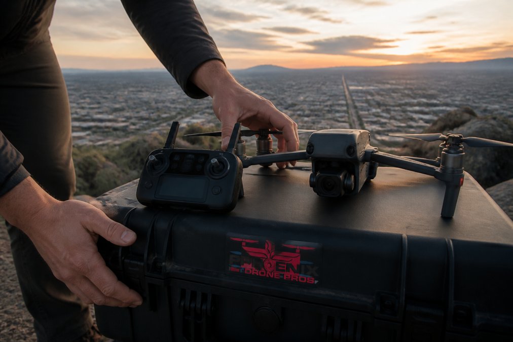
Professional operators invest in cinema-grade equipment: high-end drones with mechanical shutters, professional-grade lenses, and stabilization systems designed for commercial work. Color grading and post-production work enhance raw footage further by adjusting white balance, saturation, and contrast while remaining true to reality.
When comparing drone photography services, ask about equipment: drone model, camera, gimbal system, 4K capability, and HDR options. The answers reveal whether you're hiring a professional operation or someone flying a consumer drone.
Post-Production Workflow: From Raw Footage to Finished Deliverables
Raw drone footage is just the starting point. Professional post-production transforms it into polished, usable content through footage review and organization, color grading, editing, and delivery file preparation.
Color grading adjusts white balance, exposure, saturation, and contrast to make footage look professional and compelling while ensuring consistency across multiple clips. Editing combines the best shots into a coherent sequence, for real estate, opening with a wide establishing shot and transitioning to detail shots of key features; for construction, organizing shots chronologically with date overlays.
Delivery file preparation ensures the final product works on every platform. Real estate listings require specific dimensions and formats; social media needs different aspect ratios than website landing pages. Professional operators deliver files in multiple formats optimized for each use case. For commercial real estate transactions, a Video Offering Memorandum can showcase properties to potential investors with professional aerial footage integrated into comprehensive property documentation.
Turnaround time varies by complexity and demand. A simple real estate shoot with basic editing might be delivered within 24-48 hours. The difference between rushed post-production and thoughtful editing is immediately obvious, rushed work looks flat and amateurish, while professional post-production makes footage compelling and ready to use immediately.
Professional drone photography has become essential for real estate marketing, construction documentation, and property inspections. The difference between hiring a certified professional and an amateur operator is immediately visible and affects your bottom line.
Phoenix Drone Pros delivers professional-grade aerial photography backed by FAA Part 107 certification, comprehensive insurance coverage, and over a decade of commercial experience. Whether you need real estate photography that sells properties faster, construction progress documentation that protects your timeline, or roof inspections that eliminate climbing risk, our team provides stunning aerial footage and detailed property views tailored to your specific project goals. Contact Phoenix Drone Pros today to discuss your aerial photography needs and get a quote for your next project.
=== FAQ ANSWERS (audit these too, same rules) ===
[1] Q: How much does professional drone photography cost? A: Professional drone photography pricing depends on project scope, property size, turnaround time, and the complexity of deliverables. Real estate aerial photography may start at one price point for basic aerials, while construction progress documentation or thermal roof inspections typically cost more due to specialized equipment and expertise. Contact a FAA Part 107 certified drone pilot for a custom quote based on your specific needs.
[2] Q: What are the FAA requirements for commercial drone operators? A: Commercial drone operators must hold an FAA Part 107 certificate, which requires passing a knowledge test covering airspace regulations, safety protocols, and flight planning. Operators must maintain visual line of sight with their aircraft, follow altitude restrictions (typically 400 feet above ground), and comply with local airspace designations. Fully insured operations and proper documentation are essential for legal commercial drone work.
[3] Q: How does professional drone photography improve real estate listings? A: Aerial photography provides unique perspectives that showcase property size, lot features, pools, landscaping, and surrounding area context. High-resolution 4K HDR imagery and cinematic videography make listings stand out on platforms like Zillow and MLS, attracting more qualified buyers. Professional aerial perspective demonstrates scale and property value in ways ground-level photography cannot, often resulting in faster sales and higher offers.
[4] Q: Do I need a permit for drone photography on my property? A: Permit requirements vary by location and airspace classification. Some areas near airports or within controlled airspace require additional authorization from the FAA. A FAA Part 107 certified drone pilot will assess your property's airspace and handle any necessary approvals, ensuring your shoot complies with all regulations and protects your liability.
Frequently Asked Questions
How much does professional drone photography cost?
Professional drone photography pricing depends on project scope, property size, turnaround time, and the complexity of deliverables. Real estate aerial photography may start at one price point for basic aerials, while construction progress documentation or thermal roof inspections typically cost more due to specialized equipment and expertise. Contact a FAA Part 107 certified drone pilot for a custom quote based on your specific needs.
What are the FAA requirements for commercial drone operators?
Commercial drone operators must hold an FAA Part 107 certificate, which requires passing a knowledge test covering airspace regulations, safety protocols, and flight planning. Operators must maintain visual line of sight with their aircraft, follow altitude restrictions (typically 400 feet above ground), and comply with local airspace designations. Fully insured operations and proper documentation are essential for legal commercial drone work.
How does professional drone photography improve real estate listings?
Aerial photography provides unique perspectives that showcase property size, lot features, pools, landscaping, and surrounding area context. High-resolution 4K HDR imagery and cinematic videography make listings stand out on platforms like Zillow and MLS, attracting more qualified buyers. Professional aerial perspective demonstrates scale and property value in ways ground-level photography cannot, often resulting in faster sales and higher offers.
Do I need a permit for drone photography on my property?
Permit requirements vary by location and airspace classification. Some areas near airports or within controlled airspace require additional authorization from the FAA. A FAA Part 107 certified drone pilot will assess your property's airspace and handle any necessary approvals, ensuring your shoot complies with all regulations and protects your liability.
This article was written using GrandRanker