 listicle
7 Best Drone Services for Construction Progress Monitoring
Last Updated: October 25, 2026
Quick Summary
The best drone services for construction progress monitoring combine FAA-certified pilots with reliable weekly capture, and Phoenix Drone Pros fits that brief with a fully insured local team. Software-first options like Propeller Aero, DroneDeploy, TraceAir, PIX4Dcloud and Bentley SYNCHRO suit teams that process aerial data in-house.
- Spending on drone construction monitoring is projected to climb from USD 2.6 billion in 2026 to USD 7.7 billion by 2036.
- We scored providers on data accuracy, software integration, cadence, pricing transparency, and compliance and coverage.
- Run a paid pilot on one active site before signing a season-long agreement.
- SkyeBrowse publishes $24.99 Commercial and $49.99 Pro plans, though the billing period is not stated.
- Weekly capture suits most active sites, while fast-moving phases may need twice weekly flights.
Table of Contents
- Quick Comparison: 7 Drone Services for Construction Progress Monitoring
- How We Evaluated These Drone Services
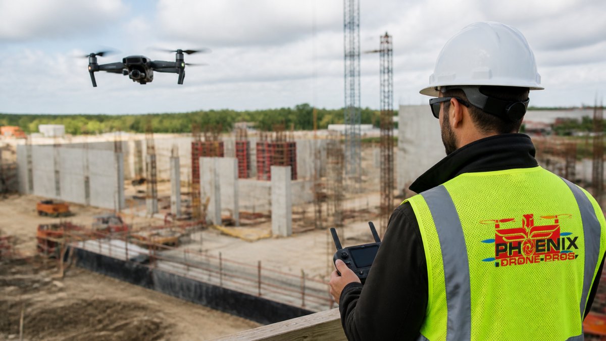
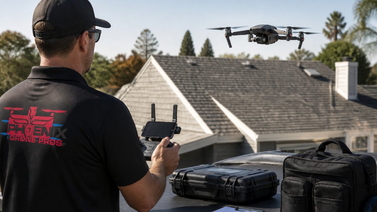
- 1. Phoenix Drone Pros: Best for Local, FAA-Certified Progress Documentation
- 2. Propeller Aero: Best for Earthwork and Volumetric Tracking
- 3. SkyeBrowse: Best for Fast Site Documentation and 3D Models
- 4. DroneDeploy: Best for Construction Progress Tracking Software Integration
- 5. TraceAir: Best for Civil Construction Progress Monitoring
- 6. PIX4Dcloud: Best for Photogrammetry and Orthomosaic Mapping
- 7. Bentley SYNCHRO: Best for Schedule-Linked Progress Tracking
- What Should You Expect to Pay for Construction Drone Progress Monitoring?
- Frequently Asked Questions
Quick Comparison: 7 Drone Services for Construction Progress Monitoring
Construction progress monitoring has moved from monthly walk-throughs to weekly aerial data capture, and the market reflects it. According to Fact.MR's drone construction monitoring forecast, spending in this category is projected to climb from USD 2.6 billion in 2026 to USD 7.7 billion by 2036, an 11.4% compound annual growth rate.
Here is the short version before the detail. If you need a local, FAA-certified crew that shows up on schedule and delivers documented progress imagery, our team is the pick. If you need software-first workflows, the platforms below each solve a different piece of the puzzle.
| Provider | Best For | Pricing Model | Deliverables |
|---|---|---|---|
| Phoenix Drone Pros | Local, FAA-certified progress documentation | Quote-based | Aerial photo/video, progress records, inspections |
| Propeller Aero | Earthwork and volumetric tracking | Contact for pricing | Site maps, volume data |
| SkyeBrowse | Fast documentation and 3D models | $24.99 Commercial, $49.99 Pro | 3D models, progress records |
| DroneDeploy | Software integration | Contact for pricing | Maps, progress tracking data |
| TraceAir | Civil construction monitoring | Contact for pricing | Progress tracking outputs |
| PIX4Dcloud | Photogrammetry and orthomosaics | Contact for pricing | Orthomosaic maps, 3D outputs |
| Bentley SYNCHRO | Progress software comparison | Contact for pricing | Project tracking data |
How We Evaluated These Drone Services
Most roundups of construction drone services rank providers on brand recognition and feature lists. That is not how a project manager actually chooses one.
| Criterion | Weight | What We Looked For |
|---|---|---|
| Data accuracy and deliverables | 25% | Ground control workflow, checkpoint validation, orthomosaic and 3D output, volume measurement method |
| Construction software integration | 25% | Native connectors or file handoff to project management, BIM, and earthwork platforms; formats such as LAS/LAZ, GeoTIFF, OBJ, and CSV |
| Cadence and turnaround | 20% | Ability to fly weekly or twice weekly, standard processing time, rush options |
| Pricing transparency | 15% | Published rates, per-flight vs. subscription models, what is included in the quote |
| Compliance and coverage | 15% | FAA Part 107 certification, insurance limits, service area, airspace handling |
Why integration carries as much weight as accuracy. Aerial imagery that lives in a separate portal from your project schedule creates rework.
How to score candidates yourself. Use the table above as a buyer scorecard.
What we did not weight. Brand size, fleet size, and the number of aircraft in a provider's hangar matter less than whether the crew shows up on schedule and hands off data your team can use. A two-pilot local operation with a disciplined capture plan routinely outperforms a national firm that treats your site as one stop on a route.
A second criterion matters more than buyers expect: how the data hands off.
1. Phoenix Drone Pros: Best for Local, FAA-Certified Progress Documentation
For most construction teams, the best drone services are the ones that combine certified pilots with reliable weekly capture.
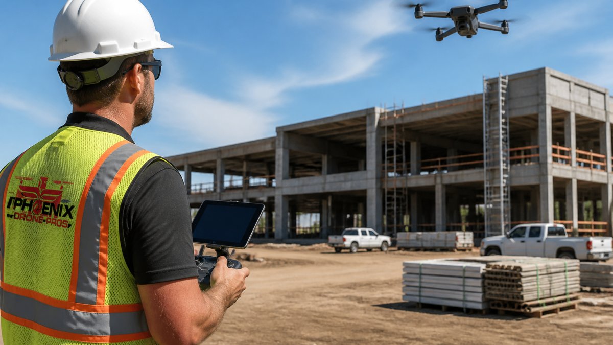
Best for: project managers who want a local, certified crew with fast turnaround. Skip if: you need a fully automated software platform with API-level schedule integration.
2. Propeller Aero: Best for Earthwork and Volumetric Tracking
Earthwork is where drone data pays for itself fastest. Propeller Aero focuses its construction offering on site mapping and data collection for project management, which makes it a natural fit for grading and cut-and-fill work.
If you are weighing aerial capture against traditional methods for volume work, our breakdown of drone mapping versus land surveying covers where each approach holds up.
Best for: sitework contractors tracking stockpile and cut-and-fill volumes. Skip if: your project is vertical construction with little dirt movement.
3. SkyeBrowse: Best for Fast Site Documentation and 3D Models
SkyeBrowse publishes the clearest pricing in this group: $24.99 for Commercial and $49.99 for Pro, though the source does not state the billing period. Its construction applications cover progress records, inspections, stockpile and earthwork volumes, and as-built documentation. That breadth makes it a practical entry point for teams testing drone documentation for the first time.
Best for: teams that want published pricing and quick 3D model generation. Skip if: you need a fully managed service with pilots on site.
4. DroneDeploy: Best for Construction Progress Tracking Software Integration
DroneDeploy appears in Birdi's 2026 comparison of civil construction progress tracking software alongside Propeller, TraceAir, PIX4Dcloud, and Bentley SYNCHRO. That placement tells you what DroneDeploy is: a software layer that turns aerial capture into trackable project data.
For teams that want the capture handled as a service, our construction drone mapping for better site control page explains how we structure recurring flights around your schedule.
Best for: teams already running digital project controls. Skip if: you have no in-house capacity to process and manage aerial data.
5. TraceAir: Best for Civil Construction Progress Monitoring
TraceAir also appears in Birdi's civil construction comparison, positioning it in the progress-tracking software category rather than as a pilot service. The supplied materials do not verify detailed capabilities or pricing. Treat it as a candidate for civil and sitework projects where progress measurement feeds contract billing.
Best for: civil contractors comparing progress-tracking platforms. Skip if: you need drone capture included in the engagement.
6. PIX4Dcloud: Best for Photogrammetry and Orthomosaic Mapping
Photogrammetry converts overlapping aerial photos into measurable maps, and PIX4Dcloud sits in that camp. It appears in the same 2026 software comparison, and the supplied results do not verify specific features or current pricing.
Our explainer on orthomosaic drone mapping services covers what these deliverables actually contain.
Best for: teams with in-house photogrammetry skills. Skip if: you want a turnkey service with no processing on your side.
7. Bentley SYNCHRO: Best for Schedule-Linked Progress Tracking
The seventh option rounds out the software side. Bentley SYNCHRO appears in Birdi's comparison of civil construction progress-tracking tools, and the supplied results do not verify drone-specific features or pricing. For teams managing 4D schedules, it is worth a look; for pure aerial capture, it is not the starting point.
Best for: large civil projects with schedule-linked reporting. Skip if: drone data capture is your primary need.
What Should You Expect to Pay for Construction Drone Progress Monitoring?
Pricing is the question every buyer asks first and almost no provider answers publicly. That opacity is a real problem: without a budget range, you cannot compare a managed flight service against a software subscription, and the two are not the same purchase.
The two pricing models. Construction drone services sell in one of two ways. A managed service bundles the pilot, the flight, the processing, and the deliverables into a per-flight or per-project price. A software platform sells you a subscription and expects you to supply the drone and the pilot, or to hire a separate capture crew.
What drives the price of a managed engagement.
- Site size and flight complexity. A 10-acre graded pad and a 200-acre linear corridor are different jobs. Larger sites mean more flight time, more images, and longer processing.
- Capture frequency. Weekly capture across a 12-month project is 50-plus flights. Frequency, not acreage, is usually the largest line item in a season-long quote.
- Deliverable type. A photo set is inexpensive. An orthomosaic with ground control and a volume report requires survey workflow and quality checks, and it is priced accordingly.
- Turnaround. Standard processing runs on the provider's schedule. Rush delivery for a Monday owner meeting carries a premium.
- Travel and service area. A local crew avoids mobilization charges. A crew flying in from out of state does not.
- Compliance overhead. Airspace coordination near an airport or in controlled airspace adds planning time that shows up in the quote.
How to read a quote. Ask for the quote broken out by flight, processing, and deliverables, not a single lump sum.
What we do not do. We will not publish a fake rate card. Site size, cadence, and deliverable mix move the number too much for a single figure to be honest. What we will do is price each engagement against your actual capture schedule, so you know what a season of progress documentation costs before you commit, and so you can compare that number against a software subscription plus the labor to run it.
Frequently Asked Questions
What are the best drone services for construction progress monitoring?
The best fit depends on your project. Phoenix Drone Pros suits teams that need local, FAA-certified pilots and reliable progress documentation. Propeller Aero and TraceAir focus on earthwork and civil progress tracking. DroneDeploy and PIX4Dcloud offer software platforms for mapping and data processing. SkyeBrowse provides fast 3D site models, and Bentley SYNCHRO connects drone data to 4D scheduling. Match the service to your deliverable needs, site complexity, and how often you need flights.
How often should a construction site be surveyed by drone?
Most active construction sites benefit from weekly drone flights, with daily or twice-weekly capture during critical phases like grading, structural framing, or utility installation. Slower periods may only need monthly documentation. The right cadence depends on your schedule, the pace of change on site, and how quickly your team needs data to make decisions. Establish a fixed flight schedule at the start of the project so progress comparisons stay consistent.
How much does construction drone progress monitoring cost?
Pricing depends on site size, flight frequency, deliverable type, and processing requirements. A simple aerial photo set costs less than a full 3D model with volumetric measurements and software integration. Most providers quote per flight or per project rather than publishing flat rates. Request a quote that itemizes capture, processing, and deliverables so you can compare proposals fairly. Phoenix Drone Pros provides custom pricing based on your project scope and schedule.
Can drones create 3D maps and models of construction sites?
Yes. Drones equipped with high-resolution cameras and GPS capture overlapping images that photogrammetry software turns into orthomosaic maps, digital surface models, and 3D site models. These deliverables let you measure stockpiles, track earthwork volumes, compare as-built conditions to design plans, and share a visual record with owners and contractors. Accuracy depends on ground control points, flight altitude, and processing settings, so confirm the provider's accuracy standards before you book.
What should I look for in a construction drone service?
Check FAA certification, insurance coverage, and experience with construction-specific deliverables like orthomosaic maps, 3D models, and volumetric reports. Ask how they handle data processing, where files are stored, and whether outputs integrate with your construction progress tracking software. Confirm turnaround times, flight cadence, and whether pilots are local or traveling. A provider that understands construction workflows will deliver data your team can actually use, not just aerial photos.
Construction schedules do not pause for missing data, and a gap in your progress record is hard to explain later. Phoenix Drone Pros provides FAA-certified, fully insured aerial capture with more than a decade of commercial experience, covering progress documentation, thermal inspections, and hard-to-reach areas. Get started with Phoenix Drone Pros and build a progress record your whole team can trust.