 listicle
Are There Better Alternatives to Traditional Construction Site Photography?
Last Updated: October 24, 2026
Quick Summary
Credible alternatives to traditional construction site photography include drone photography and aerial imagery, fixed construction time-lapse camera systems, 360-degree capture with virtual walkthroughs, and reality capture such as photogrammetry and LiDAR. Each option addresses a specific weakness of walk-and-shoot construction site photography, from coverage gaps to inconsistent framing. Most cost less to run than a weekly site walk.
- Aerial imagery wins on site overview and coverage speed, while ground capture wins on interior and finish detail.
- Fixed time-lapse cameras solve consistency because the same perspective is captured every day.
- 360 walkthroughs are strongest for interior progress on occupied or secure sites and remote stakeholder review.
- Reality capture turns site imagery into measurable 3D data you can check against the design model.
- Match capture frequency to decision frequency: if progress is reviewed monthly, capture monthly.
Table of Contents
- Why Traditional Construction Site Photography Falls Short
- Drone Photography and Aerial Imagery for Site Overviews
- Aerial vs Ground Construction Photography: What Each Captures Best
- Construction Time-Lapse Camera Systems for Progress Documentation
- 360-Degree Capture and Virtual Walkthroughs
- Reality Capture, Photogrammetry, and AI-Assisted Progress Tracking
- The Cost of Professional Drone Site Surveys and Other Capture Options
- Scheduling Aerial Documentation for Your Next Project
- Frequently Asked Questions
Why Traditional Construction Site Photography Falls Short
Traditional construction site photography is the practice of sending a person with a camera to walk a project and capture still images at set intervals.
Those gaps matter more than most teams admit. A 2026 study in Building Research & Information on offsite construction awareness and adoption examined how documentation and awareness shape adoption decisions, and it points to a broader problem: the record you keep determines the decisions you can make later.
The good news: there are now at least six credible alternatives to traditional construction site photography, and most cost less to run than a weekly site walk. Below, we break down each option, what it captures best, and where it falls short.
Drone Photography and Aerial Imagery for Site Overviews
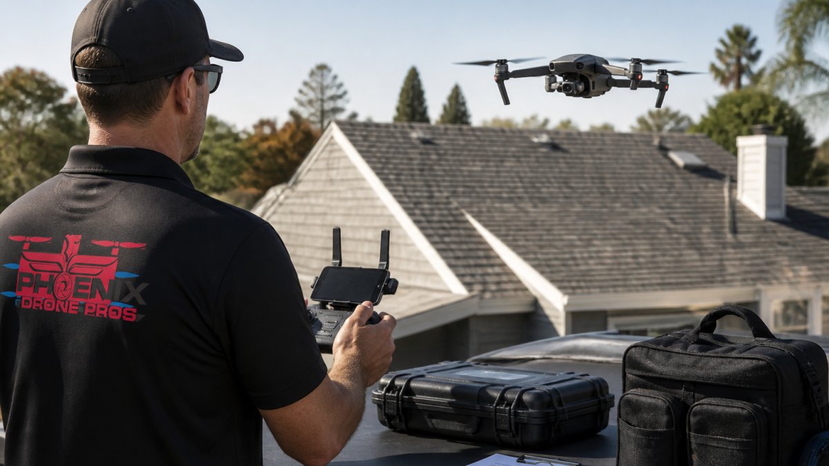
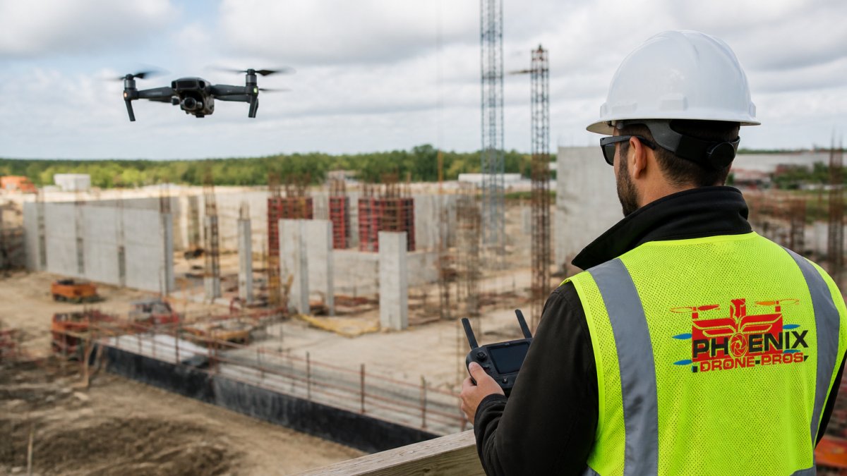
Drone photography is the use of a remote-piloted aircraft to capture high-resolution stills and video of a site from above.
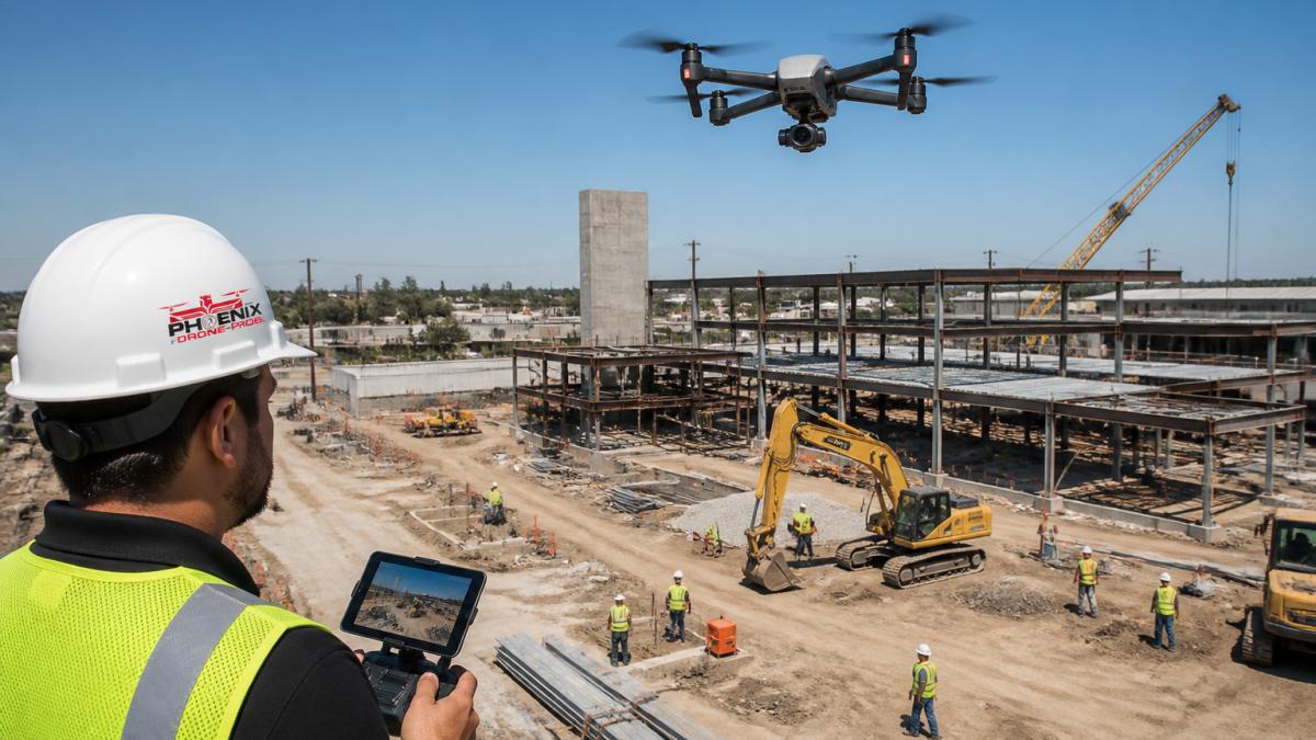
Industry coverage of construction technology trends for 2026 describes drone-based aerial mapping with photogrammetry as faster and cheaper than traditional surveying, though it gives no numerical comparison.
Best for: site overviews, earthwork verification, roof and envelope progress, and stakeholder updates.
Aerial vs Ground Construction Photography: What Each Captures Best
Aerial and ground construction photography are complementary, not competing. Aerial wins on site overview, scale, and coverage speed.
Here's the practical split:
| What you need to document | Aerial | Ground |
|---|---|---|
| Full site overview | Best | Poor |
| Roof and envelope progress | Best | Limited |
| Interior and in-wall work | No | Best |
| Earthwork and grading | Best | Limited |
| Finish detail and defects | Limited | Best |
| Speed of full-site coverage | Best | Slow |
Aerial imagery without interior photos leaves you blind to the work that generates the most change orders. Ground photos without aerial context leave you unable to show a client the whole picture.
Best for: teams deciding where to spend their capture budget. For a direct breakdown, see our comparison of aerial photography vs ground photography.
Construction Time-Lapse Camera Systems for Progress Documentation
Construction time-lapse camera systems are fixed cameras mounted on site that capture frames at set intervals and stitch them into a continuous progress record.
A fixed camera doesn't get tired, doesn't miss a week, and doesn't reframe the shot.
Watch out: a single fixed camera covers one angle.
Drones can also drive progress documentation without a fixed mount. If you want the workflow, our guide to documenting building progress with a drone walks through flight planning, repeatable routes, and file organization.
Best for: long-duration projects where week-over-week comparison matters to owners or lenders.
360-Degree Capture and Virtual Walkthroughs
360-degree capture is photography that records the full sphere around a camera position, letting viewers look in any direction from a single point. Combined with virtual walkthrough software, it turns a site visit into something a remote stakeholder can do from a desk, and it is the alternative most traditional site photography teams overlook.
How the workflow actually works
A 360 camera on a monopod is walked through a project on a consistent route, capturing a series of spherical images. Those images are then stitched and linked into a navigable walkthrough: viewers click from one capture point to the next, look around freely, and review interior and exterior conditions without a flight or a drive. The capture itself is fast, a walkthrough of a mid-size floor plate takes minutes, not hours, and the processing and hosting happen after the fact.
Why it beats a folder of stills for remote review
A conventional photo set shows you what the photographer chose to frame. A 360 walkthrough shows the viewer everything in the sphere, including the conditions the photographer did not think to capture. That matters for remote stakeholder review: an owner, lender, or off-site project manager can navigate to the area they care about and look for themselves, rather than requesting another site visit.
The trade-offs you need to plan for
- Resolution. A 360 image gives you context, not fine detail. Pair it with conventional stills for close-up documentation of finishes, connections, and defects.
- Navigation discipline. Walkthroughs are only comparable over time if the capture points and route stay consistent. Define the route once and repeat it.
- Hosting and access. Walkthroughs live on a platform, which means subscription costs, user permissions, and data retention policies to sort out before the first capture.
Where it fits in a capture program
360 walkthroughs are strongest for interior progress on occupied or secure sites, client and stakeholder communication, and remote design or quality reviews. They are weakest for measurable verification, for that, pair them with reality capture. Used together, a 360 walkthrough gives context and a photogrammetry model gives dimensions.
Best for: remote stakeholder communication, client walkthroughs, and interior progress on occupied or secure sites.
Reality Capture, Photogrammetry, and AI-Assisted Progress Tracking
Reality capture is the process of turning site imagery into measurable 3D data. Photogrammetry builds a 3D model from overlapping photos; LiDAR measures with laser pulses.
This is where documentation stops being a record and becomes a management tool.
A 2015 study in Landscape and Urban Planning comparing planned visualizations with post-construction photographs found value in comparing design intent against built reality, which is exactly what reality capture now automates.
The American Institute of Architects notes on using photography to evaluate on-site work describe photography as both an evaluation tool and a potential source of risk. For a deeper technical comparison, read LiDAR vs photogrammetry for construction mapping.
Best for: teams with BIM workflows, quality verification, and as-built documentation.
The Cost of Professional Drone Site Surveys and Other Capture Options
Most guides on this topic dodge the money question. That is a problem, because cost is usually the deciding factor between one capture method and another.
A quick framing note: pricing varies by market, site size, flight frequency, deliverable type, and processing. The figures below are typical U.S. market ranges based on common industry patterns, not quotes. Always request a site-specific proposal.
One-time aerial capture
A single drone flight with edited stills and basic video typically runs a few hundred dollars for a small site and into the low four figures for a large, multi-building parcel with complex airspace. The entry point is low because there is no recurring commitment. The catch: a one-time capture is a snapshot, not a record. It resolves almost no disputes and proves almost no progress on its own.
Monthly progress flights
Recurring progress programs are usually priced per visit, with volume discounts for multi-month commitments. A monthly flight program over a 12-month project costs more in total than a single shoot, but the per-visit cost is often lower and the value compounds: you build a comparable, date-stamped visual record that owners, lenders, and insurers can actually use. Match capture frequency to decision frequency, if progress is reviewed monthly, capture monthly.
Photogrammetry and 3D models
The flight is the cheap part. Processing overlapping images into an orthomosaic, point cloud, or textured mesh adds processing time, software licensing, and deliverable complexity. Expect a meaningful premium over stills-only deliverables, and expect turnaround measured in days rather than hours for large sites. The payoff is measurable data, volumes, distances, as-built comparisons, that a photo can never provide.
Fixed time-lapse systems
Time-lapse is a hardware-plus-service model: camera units, mounting, power, cellular connectivity, installation, monitoring, and monthly service fees. A single-camera install is the lowest-cost configuration; multi-building sites need multiple units, and each one adds hardware, power, and line-of-sight requirements. Budget for the install and the ongoing service, not just the camera.
360 walkthroughs
The hardware is affordable, a professional 360 camera is a modest one-time cost. The real expense is labor: someone has to walk the site on a consistent schedule, and the files have to be processed, hosted, and organized into a navigable walkthrough. Hosting and platform subscriptions add a recurring line item. For occupied or secure sites where remote review replaces travel, the travel savings often offset the labor.
The hidden cost in every option: workflow
Photos that are not organized, tagged, and delivered to the right people do not reduce risk, they just create a bigger folder. The most under-budgeted line item across every capture method is the workflow: file naming, cloud storage, access controls, and reporting. A cheap capture with no workflow costs more in the long run than a slightly pricier capture that lands in a system people actually use.
For a full breakdown of what drives drone pricing specifically, see how much drone photography costs.
Best for: budgeting. Match capture frequency to decision frequency: if you review progress monthly, capture monthly.
Scheduling Aerial Documentation for Your Next Project
Scheduling aerial documentation comes down to three variables: flight frequency, site access, and deliverable turnaround. Get those right and the rest is logistics.
Start with a shot list tied to your project milestones. Define the routes, altitudes, and angles once, then repeat them every flight so the record stays comparable.
Then pick an operator who is insured for construction work. You can verify an insured drone operator for construction jobs before you book. If your own team plans to fly instead of hiring out, structured Done flight training covers the airspace rules, flight planning, and repeatable capture routes that keep a documentation program consistent.
A common mistake is treating aerial capture as a one-off. The value compounds with frequency: monthly flights build a record that resolves disputes and proves progress.
Frequently Asked Questions
What are the most effective alternatives to traditional construction site photography?
The main alternatives are drone aerial imagery, 360-degree capture for virtual walkthroughs, fixed time-lapse camera systems, photogrammetry and 3D reality capture, and AI-assisted progress tracking. Each solves a different problem: drones cover large sites and rooftops quickly, time-lapse shows change over weeks, and 360 capture lets remote stakeholders inspect conditions without traveling. Many project teams combine two or three methods rather than replacing still photography entirely.
How does aerial vs ground construction photography compare in practice?
Aerial photography covers the whole site, roof conditions, and surrounding context in a few flights, which makes it strong for progress documentation and stakeholder updates. Ground photography captures detail that drones cannot see: interior finishes, MEP rough-in, connection details, and close-up workmanship. A practical workflow uses drone flights for the site overview and ground or in-wall photos for the critical details, so the visual record is complete at every scale.
Is it legal to use drones for construction site monitoring?
Yes, when the operator follows Federal Aviation Administration rules. Commercial drone work requires a Remote Pilot Certificate under Part 107, registration of the aircraft, and compliance with airspace restrictions, which may require authorization near airports or in controlled airspace. Hiring an FAA-certified and insured operator keeps the project compliant and shifts liability away from your team. Always confirm certifications before any flight over active work.
What drives the cost of professional drone site surveys?
Pricing depends on site size, flight frequency, deliverable type, and processing time. A single aerial photo set costs less than a recurring weekly documentation package or a photogrammetry model with 3D outputs. Travel distance, airspace complexity, and rushed turnaround also affect the quote. Because rates vary by scope, request a project-specific quote rather than relying on a generic per-flight figure.
Can 3D laser scanning or photogrammetry replace traditional site photography?
They complement it rather than replace it. Photogrammetry and laser scanning produce measurable 3D models useful for clash detection, volume checks, and as-built verification, but they cost more and take longer to process. Photography remains faster for daily updates, marketing images, and stakeholder communication. Most teams use 3D capture at key milestones and standard imagery for week-to-week tracking.
Most construction teams are still documenting million-dollar projects with inconsistent phone photos and hoping nothing goes wrong. It's a risk you don't have to carry. Phoenix Drone Pros delivers reliable construction progress documentation, detailed aerial imagery, and access to difficult-to-reach areas, backed by FAA certification and full insurance. Get started with Phoenix Drone Pros and build a visual record that actually protects your project.