 listicle
Benefits of Drone Inspections for Property Managers
Table of Contents
- Why Drone Inspections Are Changing Property Management
- Drone vs Traditional Inspection: Safety, Speed, and Access
- What a Drone Inspection Report Delivers for Property Managers
- Drone Inspection Cost: Labor Savings and ROI
- Drone Inspections for HOA Communities and Portfolio-Scale Management
- Regulations, Pilot Qualifications, and Privacy Considerations
- When Drone Inspections Are Not Enough
- Frequently Asked Questions
Last Updated: October 5, 2026
Why Drone Inspections Are Changing Property Management
Drone inspections are aerial property assessments performed with remote-piloted aircraft that capture high-resolution imagery and video of roofs, facades, and hard-to-reach areas without sending anyone up a ladder.
The traditional inspection model has always carried a hidden tax. According to OSHA's guidance on fall protection in general industry, falls remain among the leading causes of serious work-related injury, and roof work is one of the highest-risk activities a maintenance or vendor team performs.
At Phoenix Drone Pros, our FAA-certified pilots have spent more than a decade documenting commercial and residential properties from the air, and the pattern is consistent: managers who switch to aerial inspection stop treating roof access as a scheduled risk event.
Drone vs Traditional Inspection: Safety, Speed, and Access
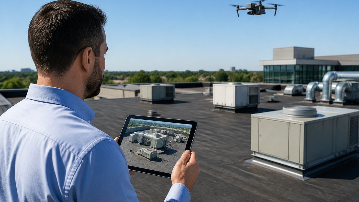
A drone inspection replaces roof access, scaffolding, and aerial platforms with a single flight, changing three things at once: who is exposed to risk, how long the assessment takes, and what the property manager can see.
Eliminating Roof Access Risks for Inspectors and Occupants
Personnel risk is the first benefit, and the one that matters most to anyone carrying liability. Traditional methods require someone to climb, walk the roof membrane, and negotiate steep pitches or fragile surfaces. Drone inspection removes that exposure entirely.
Occupant safety improves too. No ladders blocking entries, no scaffolding over walkways, no crews working above tenants during business hours.
Faster Turnaround Without Scaffolding or Ladders
Turnaround time is where the operational math gets interesting. Access equipment takes time to schedule, deliver, and erect. A drone flight does not.
A typical aerial inspection of a single commercial building takes a fraction of the time a ladder-and-harness survey requires, and portfolio-scale work compresses further because travel and setup are shared across multiple properties in one route.
What a Drone Inspection Report Delivers for Property Managers
A drone inspection report is a documented visual record of property condition, combining high-resolution imagery, video, and annotated findings a manager can file, share, and compare over time. It is not a folder of pretty pictures.
High-Resolution Imagery and Video Documentation
The deliverable separates a professional aerial inspection from a hobbyist flight. A useful report includes:
- High-resolution still images of every roof section and elevation
- Video documentation of the full flight path for context
- Annotated close-ups of damage, ponding, or deteriorated sealant
That structure turns an inspection into a maintenance decision: repair planning, preventive maintenance scheduling, and capital budgeting all depend on pointing to a specific defect with a dated image.
Drone Inspection Cost: Labor Savings and ROI
Drone inspection cost is not just the flight fee. The real comparison is total cost of ownership: access equipment, labor hours, scheduling delays, and risk exposure versus a single aerial assessment. Here is a framework you can run against a quote.
The Cost Stack You Are Comparing
A traditional roof or exterior inspection pulls from several buckets that never appear on a single invoice:
- Access equipment, ladder rental, scaffolding, or aerial platform hire, plus delivery, setup, and teardown labor
- Fall-protection gear, harnesses, anchor points, and the inspection and recertification those systems require
- Labor hours, the inspector's time on the roof, plus the coordinator's time scheduling access and vendors
Aerial inspection collapses most of that stack into a single flight: equipment, fall-protection overhead, and access-scheduling delay largely disappear, leaving the flight itself and the reporting deliverable.
A Simple ROI Framework
Rather than trusting a blanket claim, build the comparison from four inputs:
- Service fee, what the aerial provider quotes for the flight and report
- Avoided access costs, the equipment and setup line items you no longer pay
- Avoided labor hours, inspector and coordinator time no longer spent on access logistics
- Avoided repeat visits, the second trip a traditional inspection often requires when the first pass misses a section or the weather turns
Subtract the service fee from the sum of the avoided costs and the net figure is your working ROI. On steep, tall, or fragile roofs, avoided access costs alone often dominate the equation. On a simple low-slope roof with easy stair access, savings are real but smaller, and the case rests more on speed and documentation than raw dollars.
Where the Savings Are Largest
The cost case for drone inspections is strongest in a few predictable situations:
- Steep or fragile roofs, where foot traffic risks the surface and access equipment is expensive
- Tall commercial buildings, where aerial platform hire is a major line item
- Multi-building portfolios, where one route shares travel and setup across several properties
- Post-storm triage, where a fast aerial sweep tells you which buildings actually need a hands-on visit
What Drives the Quote
Pricing for aerial inspection depends on property size, roof complexity, travel, and reporting depth. A single-family roof and a multi-building portfolio are not the same job, and a provider publishing one flat rate is usually overcharging simple jobs or underdelivering on complex ones. We quote each project individually. Request a quote from Phoenix Drone Pros for current scheduling and pricing.
Beyond the Invoice: Prevented Damage
The strongest ROI argument is not the inspection you made cheaper, it is the repair you caught early. A dated aerial image of a small membrane tear or ponding area gives you evidence to schedule a low-cost repair before it becomes a deck replacement. That return is why portfolio managers move from one-off flights to a scheduled cycle.
Drone Inspections for HOA Communities and Portfolio-Scale Management
Portfolio-scale management is where drone inspections stop being a convenience and start being a workflow. A single pilot with one aircraft can document multiple buildings in one visit, and the real value shows up when the imagery feeds the systems you already use.
Fitting Aerial Imagery Into Your Work-Order System
An inspection report that lives in a PDF folder is a dead end. The operational win is routing findings into the tools that drive maintenance:
- Annotated images as work-order attachments, when a defect is logged, the dated aerial photo travels with it, so the vendor sees exactly what and where before arriving
- Severity tagging, triage findings into routine, priority, and urgent so the work order queue reflects actual risk rather than whoever called first
- Vendor scoping, a clear image reduces the back-and-forth that delays a quote, because the contractor can price the job from the photo
- Closeout verification, a follow-up flight confirms the repair was completed and documents the finished condition
A common pattern is to run the aerial inspection first, then open work orders only for items needing action, keeping the queue clean and giving every ticket a visual anchor.
Vendor Coordination Across Multiple Properties
When you manage several buildings, vendor scheduling is where time disappears. Aerial inspection changes the sequence:
- One flight documents the whole portfolio, roofs, elevations, common structures, and perimeter assets in a single route
- Findings are sorted by property and severity, so you know which buildings need a vendor visit and which can wait
- Vendors are dispatched with evidence, the image, the location, and the date, not a verbal description
- Completion is verified, a short follow-up flight closes the loop
The result is fewer wasted trips, tighter scopes, and a record showing owners and boards exactly what was found and when.
HOA Communities: A Consistent Record for Boards
For HOA communities, the benefit compounds. Common-area roofs, clubhouse structures, parking canopies, and perimeter fencing can all be captured in a single flight plan, giving board members a consistent visual record instead of a written description of a problem they cannot see. That matters at budget time, when a reserve study or special assessment needs justification, a dated image is far more persuasive than a paragraph.
Standardized Documentation and Longitudinal Tracking
Standardized documentation is the piece most managers undervalue. When every property is photographed from the same angles at the same intervals, condition monitoring becomes a comparison rather than a memory exercise. The mechanics are simple:
- Consistent flight paths, same altitude, same angles, same coverage each cycle
- Annotated images, defects marked and labeled so they can be tracked across visits
- Dated records, every image carries a timestamp, building a condition timeline
Over two or three years, that archive supports budgeting and maintenance planning in a way a single report never can: show a board how a sealant joint degraded across three annual flights, or prove a repair held. Longitudinal tracking turns a one-time inspection into a maintenance history.
| Inspection Need | Best Approach | Why |
|---|---|---|
| Steep or fragile roof | Aerial inspection | No foot traffic on the surface |
| Tall commercial building | Aerial inspection | Avoids aerial platform cost |
| Interior structural concern | On-roof or engineer inspection | Drones cannot see inside |
| Moisture under membrane | Thermal aerial inspection | Heat signatures reveal intrusion |
| Portfolio condition tracking | Scheduled aerial flights | Consistent, comparable records |
Regulations, Pilot Qualifications, and Privacy Considerations
Compliance is not optional, and it is the part amateur operators skip.
The FAA's rules for commercial small unmanned aircraft operations require remote pilots conducting commercial work to hold a valid certificate and to follow operating limits on altitude, airspace, and line of sight.
Privacy is the second consideration: aerial photography can capture neighboring units, private yards, or people. A professional operator plans flight paths to minimize incidental capture and handles the imagery responsibly.
Our team is FAA certified and fully insured, and we plan every flight around airspace rules and privacy boundaries.
When Drone Inspections Are Not Enough
Aerial inspection has limits, and pretending otherwise is how managers get burned.
Here is when you still need a person on the roof or an engineer on site:
- Suspected interior water damage or mold
- Structural concerns requiring physical testing
- Roof areas under heavy equipment or HVAC curbing
- Close-up material sampling for warranty claims
The practical answer is a hybrid approach: use drone inspections for the routine, the hard-to-reach, and the portfolio-wide sweep, then escalate to a hands-on inspection when aerial imagery shows something needing physical confirmation.
Property managers face a real problem: roof and exterior inspections are necessary, but every traditional inspection puts someone at risk and consumes time you do not have.
Frequently Asked Questions
How much does a drone inspection cost compared to traditional methods?
Drone inspection cost depends on property size, roof complexity, and report requirements. Pricing varies, so contact a provider directly for a quote. Traditional inspections often require scaffolding, ladders, or aerial platforms, which add labor and equipment expenses. Drones reduce those costs by eliminating access equipment and completing assessments in less time. For portfolio-scale work, the savings multiply across multiple properties.
What should property managers look for in a drone inspection report?
A useful drone inspection report includes high-resolution images, video documentation, and clear annotations of damage or maintenance issues. Look for standardized formatting that allows you to compare conditions across properties over time. The report should identify roof and exterior conditions, note areas needing repair, and provide enough detail for informed maintenance decisions. Ask providers for sample reports before committing.
Can drone inspections replace traditional property inspections entirely?
Drone inspections cover roofs, exteriors, and hard-to-reach areas well, but they cannot assess interior systems, foundation issues, or structural elements hidden from aerial view. They work best as part of a comprehensive evaluation strategy. Use drones for routine condition monitoring and preventive maintenance planning, then bring in specialists for interior or structural assessments when the aerial data flags concerns.
Are drone inspections for HOA communities different from single-property inspections?
HOA communities often involve multiple buildings, shared roofs, and common areas that benefit from consistent documentation. Drone inspections for HOA communities can cover entire neighborhoods in a single flight session, providing uniform imagery across all structures. This helps boards track maintenance needs, plan budgets, and demonstrate due diligence. Privacy policies and resident notification may be required depending on local rules.