 listicle
Best Drone Services for Developers: 2026 Guide
Table of Contents
- How to Evaluate Drone Services for Developers
- Quick Comparison: Top Drone Services and Software
- Construction Progress Documentation for Property Management
- Best Drone Site Mapping Software for Developers
- Cost of Professional Drone Mapping Services
- Which Drone Service Should Developers Choose?
- Conclusion
Last Updated: August 20, 2026
Choosing the wrong drone service can cost a development project weeks of rework and thousands in unusable data. At Phoenix Drone Pros, we work directly with construction developers and property managers who've learned this the hard way: not all aerial data is equal, and the gap between a professional UAV survey and a hobbyist flyover shows up fast in your deliverables. This guide breaks down the best drone services for developers in 2026, covering everything from software platforms and API integration to managed flight services and data security protocols.
Quick Picks:
- Best Managed Service for Developers: Phoenix Drone Pros, FAA-certified, fully insured, 10+ years of commercial experience
- Best Cloud Platform for Site Monitoring: DroneDeploy, automated flight paths, Procore/Autodesk integrations
- Best for High-Accuracy CAD Exports: Pix4D (PIX4Dmatic), desktop processing, centimeter-level photogrammetry
- Best for Rapid 3D Documentation: SkyeBrowse, videogrammetry from any camera, models in minutes
- Best for Earthworks and Volume Analysis: Propeller Aero, purpose-built for cut/fill and design conformance
How to Evaluate Drone Services for Developers
Evaluating drone services comes down to three non-negotiable criteria: regulatory compliance, data output quality, and integration capability. Get any one wrong and you're facing FAA enforcement, unusable deliverables, or a data silo that doesn't talk to your project management stack.
FAA Certification, Insurance, and Compliance
Any commercial drone operation in the United States requires FAA Part 107 certification for the pilot in command. According to FAA UAS regulations and Part 107 requirements, commercial operators must pass a knowledge test, maintain currency, and comply with airspace authorizations through the LAANC system for controlled airspace operations.
Verify that your provider carries general liability insurance specifically covering UAV operations. Construction sites are high-exposure environments, and a drone incident without proper coverage creates liability that falls back on the project owner. Always request a certificate of insurance before any flight begins.
Sites near airports, military installations, or densely populated areas may require waivers or additional authorizations. A qualified provider handles this proactively.
Data Output Formats and API Integration
Geospatial data is only useful if it flows into your existing tools. Before selecting any drone service, confirm what output formats are supported:
- Orthomosaic GeoTIFFs for GIS and CAD import
- Point cloud files (LAS/LAZ) for BIM and structural analysis
- 3D mesh exports (OBJ, FBX) for visualization and client reporting
- Volume reports (CSV, PDF) for earthworks and stockpile measurement
- API/SDK access for custom integrations with project management software
Platforms that lock data behind proprietary viewers create long-term problems. Prioritize services that export to open standards and offer documented API integration.
Quick Comparison: Top Drone Services and Software
| Service/Platform | Type | Best For | Key Output | API/Integration |
|---|---|---|---|---|
| Phoenix Drone Pros | Managed service | Full-service aerial documentation | Aerial media, thermal, progress reports | Custom deliverables per project |
| DroneDeploy | Cloud software | Recurring site monitoring | Orthomosaics, 3D models | Procore, Autodesk |
| Pix4D (PIX4Dmatic) | Desktop software | High-accuracy CAD/GIS workflows | Point clouds, CAD vectors | GIS/CAD export |
| Propeller Aero | Cloud platform | Earthworks and volume tracking | 3D surveys, cut/fill analysis | AeroPoints hardware |
| SkyeBrowse | Cloud software | Rapid 3D documentation | Videogrammetry models, GeoTIFF | Any camera input |
| Measure Ground Control | SaaS platform | Drone program management | Flight data, compliance reports | Mobile app, enterprise systems |
| DroneUp | Managed service | Enterprise program scaling | Flight services, training | Custom consulting |
Construction Progress Documentation for Property Management
Construction progress documentation is the systematic capture of aerial site data at regular intervals to track build milestones, verify contractor performance, and maintain as-built records. For property developers managing multiple buildings or phased developments, this is where drone services deliver the clearest return on investment.
Weekly Site Monitoring and As-Built Records
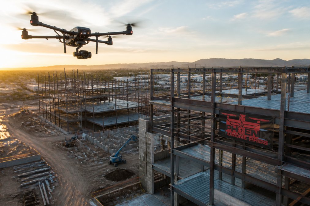
Weekly aerial surveys create a time-stamped visual record that protects developers in disputes, supports lender reporting, and keeps subcontractors accountable. Phoenix Drone Pros provides reliable construction progress documentation with consistent flight scheduling, meaning your project record stays current without gaps. With over a decade of commercial experience and local pilots operating in the Phoenix and San Antonio markets, the team understands the pace and complexity of active development sites.
Aerial orthomosaics captured at each phase become permanent reference documents for future renovation, facility management, and compliance verification.
Integrating Aerial Data with BIM and Project Management Software
Aerial data earns its full value when it feeds directly into your BIM environment and project management software. Orthomosaic overlays on Autodesk Construction Cloud or Procore let project managers compare planned versus actual progress without leaving their existing workflow.
For BIM integration, the key requirement is georeferenced data. Point clouds and orthomosaics must carry accurate GPS coordinates, ideally with RTK (Real-Time Kinematic) correction, to align precisely with your BIM model's coordinate system. According to Autodesk's construction technology integration resources, BIM-integrated site data significantly reduces rework by surfacing discrepancies between design and field conditions earlier in the build cycle.
Best Drone Site Mapping Software for Developers
The best drone site mapping software depends on whether you need cloud-based automation for recurring surveys, desktop processing for high-accuracy deliverables, or rapid turnaround from existing video footage.

Cloud-Based Platforms: Automated Flight Paths and Orthomosaic Processing
DroneDeploy is the dominant cloud platform for construction site monitoring. Its automated flight path planning means a pilot can execute a consistent, repeatable mission without manual waypoint programming on every visit. The platform processes orthomosaics and 3D models in the cloud, with results typically available within 2-24 hours.
Native connections to Procore and Autodesk make DroneDeploy the practical choice for developers already running those platforms. AI analytics features add automated anomaly detection for large sites where manual photo review becomes impractical.
Propeller Aero focuses specifically on earthworks and volumetric analysis. Its integration with AeroPoints GNSS hardware delivers centimeter-level accuracy for cut/fill calculations and design conformance checks. For developers managing grading, excavation, or stockpile measurement, Propeller's purpose-built toolset outperforms general-purpose mapping platforms.
Desktop Processing for High-Accuracy Point Clouds and CAD Exports
Pix4D (PIX4Dmatic) is the standard for developers and civil engineers who need professional-grade point clouds and CAD-ready vector exports. Unlike cloud platforms, PIX4Dmatic runs locally, which means your geospatial data never leaves your infrastructure. That matters for projects with data security requirements. construction site photo apps.
The platform handles large datasets efficiently and supports both photogrammetry and terrestrial LiDAR data. CAD exports come out clean and georeferenced, ready for import into AutoCAD Civil 3D or similar tools.
The trade-off is hardware dependency. PIX4Dmatic requires a Windows 11 machine with an NVIDIA GPU. For heavy civil projects where precision is non-negotiable, it's worth the investment.
Rapid Videogrammetry and Camera-Agnostic Options
SkyeBrowse converts standard video footage from any drone brand, phone, GoPro, or body camera into georeferenced orthomosaics and 3D point clouds in minutes rather than hours. For developers who need fast as-built documentation without setting up specialized flight plans, this is a genuine workflow accelerator.
Output formats include GeoTIFF and LAZ, compatible with GIS and CAD platforms. Cut-and-fill volumetric calculations are built in.
Cost of Professional Drone Mapping Services
The relevant question isn't "how much does a drone flight cost?" It's "what does bad data cost me when I have to resurvey, resolve a dispute, or rebuild a deliverable from scratch?"
Software Subscriptions vs. Managed Flight Services
Software subscriptions (DroneDeploy, PIX4Dmatic, Propeller Aero) require your own FAA-certified pilots and drone hardware. You pay a monthly or annual platform fee and handle all flight operations internally. This model makes sense for developers running frequent, recurring surveys across multiple sites.
Managed flight services (Phoenix Drone Pros, DroneUp, Terra Drone) handle everything: pilot dispatch, flight execution, data processing, and deliverable production. For developers without internal drone programs, or for complex projects requiring specialized sensors like thermal imaging or LiDAR, managed services eliminate operational overhead.
Pricing varies significantly based on site size, flight frequency, sensor payload, and deliverable complexity. Phoenix Drone Pros provides customized quotes based on your specific project scope.
Data Security, Privacy Protocols, and Post-Processing Workflows
Aerial surveys of active construction sites capture sensitive information: site layouts, structural details, equipment inventories, and neighboring properties. Your drone service provider should have clear answers to the following:
- Where is raw flight data stored, and for how long?
- Is data encrypted in transit and at rest?
- Who has access to your project files?
- Can data be processed locally rather than uploaded to cloud servers?
Cloud platforms like DroneDeploy and Propeller Aero store data on their own infrastructure. For projects with confidentiality requirements, desktop processing via PIX4Dmatic keeps data on your own servers. According to CISA guidance on data security for critical infrastructure, organizations handling sensitive site data should evaluate third-party vendors' data handling practices as part of standard procurement.
A mature data pipeline includes automated flight execution, cloud upload, processing trigger, quality check, and delivery to your project management platform, all without manual handoffs. Platforms with SDK access let your development team build these automations.
Which Drone Service Should Developers Choose?
The right choice depends on your project type, internal capabilities, and data requirements.
Choose a managed service like Phoenix Drone Pros if you need reliable, professionally executed aerial documentation without building an internal UAS program. Phoenix Drone Pros is FAA-certified, fully insured, and brings over a decade of commercial drone experience to construction progress documentation, thermal inspections, and specialized aerial media. For developers in the Phoenix and San Antonio markets, local pilot availability means faster scheduling and consistent site familiarity.
Choose DroneDeploy if your team operates its own DJI drones and needs a cloud platform that connects directly to Procore or Autodesk. Automated flight path planning and AI analytics make it the most complete cloud solution for recurring site monitoring.
Choose PIX4Dmatic if your projects demand high-accuracy point clouds and CAD exports, and you have the hardware and technical staff to run desktop photogrammetry workflows.
Choose Propeller Aero if earthworks, grading, and volumetric analysis are your primary use cases. The AeroPoints integration delivers accuracy that general-purpose platforms can't match for cut/fill calculations.
Choose SkyeBrowse if turnaround speed is the priority and you're working from existing video footage. The camera-agnostic approach and rapid processing make it the most flexible option for as-built documentation.
| Use Case | Recommended Option | Key Reason |
|---|---|---|
| Full-service aerial documentation | Phoenix Drone Pros | Managed, certified, locally available |
| Recurring cloud-based site monitoring | DroneDeploy | Procore/Autodesk integration |
| High-accuracy CAD/GIS exports | PIX4Dmatic | Desktop processing, centimeter precision |
| Earthworks and volume tracking | Propeller Aero | Purpose-built cut/fill analysis |
| Rapid 3D from existing video | SkyeBrowse | Videogrammetry, any camera |
| Enterprise drone program management | Measure Ground Control | API, compliance, multi-site ops |
Choosing the wrong provider or platform early creates compounding problems: unusable deliverables, integration failures, and data gaps that surface at the worst possible moment. Phoenix Drone Pros combines FAA certification, full insurance coverage, and 10+ years of commercial experience to deliver construction progress documentation, thermal inspections, and aerial media that actually integrates with your project workflow. Get started with Phoenix Drone Pros by visiting the scheduling and pricing page to discuss your project scope and deliverable requirements.
Frequently Asked Questions
What are the benefits of using drone services for construction site mapping?
Drone services give developers accurate orthomosaics, point clouds, and volumetric analysis without ground survey crews. A single UAV flight can capture geospatial data across a large site in hours, feeding directly into GIS platforms or BIM workflows. That speed reduces rework, improves stockpile measurement accuracy, and creates a time-stamped aerial record that supports both progress reporting and dispute resolution. FAA-certified providers add a compliance layer that protects developers from airspace violations.
How do drone services improve construction progress documentation?
Regular drone flights produce georeferenced imagery and 3D models that let project managers compare current site conditions against design plans week over week. Automated flight paths ensure each capture covers the same area at the same resolution, making change detection reliable. Deliverables like orthomosaics and point clouds can be exported to project management software such as Procore or Autodesk, so stakeholders see real-time monitoring data without visiting the site.
What should developers look for when hiring a commercial drone service?
Prioritize FAA Part 107 certification and proof of liability insurance before anything else. Beyond compliance, assess data output formats: developers typically need GeoTIFF orthomosaics, LAZ point clouds, or CAD-ready exports, not just JPEG photos. Ask about processing turnaround, API integration options, and whether the provider supports RTK or ground control points for centimeter-level accuracy. For recurring site work, a provider with automated flight path planning and a structured data processing pipeline saves significant time per visit.
Are drone services for construction fully insured and FAA-certified?
Reputable commercial providers operate under FAA Part 107 rules, which require a Remote Pilot Certificate for every flight. Full liability insurance is a separate requirement that protects property owners and developers if an incident occurs on site. Always request a current certificate of insurance and verify the pilot's FAA credentials before allowing any drone operations on your property. Providers like Phoenix Drone Pros carry both certifications and maintain them across all active pilots.
How does aerial data integration work with construction management software?
Most enterprise drone platforms export standard formats such as GeoTIFF, IFC, or DXF that connect directly to BIM tools and project management software. Cloud-based platforms often offer native integrations with Procore and Autodesk, pushing orthomosaics and progress reports into existing workflows automatically. For custom developer needs, SDK and API integration options let teams pull telemetry, flight mission data, and processed imagery into proprietary dashboards or geospatial data pipelines without manual file transfers.
This article was written using GrandRanker