 comparison
Betterview Alternative for Property Managers: 2026 Guide
Table of Contents
- Why Property Managers Are Looking for a Betterview Alternative
- Property Intelligence Software Features That Actually Matter
- Top Betterview Alternatives for Property Managers: Compared
- Drone Roof Inspection for Property Managers: The On-Demand Advantage
- Implementation Cost vs. ROI: What to Expect When You Switch Platforms
- Migration Challenges and How to Avoid Them
- How to Choose the Right Solution for Your Portfolio Size
- Conclusion
Last Updated: August 19, 2026
Why Property Managers Are Looking for a Betterview Alternative
Property intelligence software combines aerial imagery, geospatial data, and AI-driven analytics to give property managers a detailed, data-backed view of assets without on-site visits. While Betterview is recognized in this space, many property managers seek alternatives that better fit their operational scale, budget, or workflow.
The Phoenix Drone Pros team hears the same frustrations repeatedly: pricing opacity, limited integration options, and imagery that doesn't refresh frequently enough for active portfolio management. These aren't minor inconveniences, they're operational bottlenecks. The most common trigger for switching is a mismatch between platform capability and portfolio size. A platform built for large insurance carriers operates differently from what a regional property manager with 50 to 200 units actually needs.
Property Intelligence Software Features That Actually Matter
Not every feature in a vendor's pitch deck will move the needle for property managers. The ones that matter come down to data quality and workflow fit.
Geospatial Data and Aerial Imagery Quality
Geospatial data, location-specific information including elevation models, parcel boundaries, roof geometry, and condition indicators, is the foundation of any property intelligence platform. Without accurate, current data, every downstream decision is built on a shaky foundation.
For property managers, imagery resolution and refresh frequency matter most. High-resolution imagery at sub-3-inch pixel density lets you identify surface deterioration, ponding water, and structural anomalies without dispatching an inspector. Imagery refreshed once a year or less creates blind spots, particularly after storm events.
According to NOAA's National Centers for Environmental Information on weather-related property losses, severe weather events cause significant property damage annually, making timely post-storm imagery a genuine operational priority.
Workflow Integration and API Connectivity
Property intelligence software that doesn't connect to your existing systems creates more work, not less. API connectivity determines whether aerial data flows automatically into your property management platform, claims processing tools, or reporting dashboards.
Look for platforms that offer native integrations with property management systems, open API access for custom workflows, automated reporting, and compliance monitoring triggers tied to inspection schedules. Strong API connectivity turns aerial data into a live input for operational decisions.
Top Betterview Alternatives for Property Managers: Compared
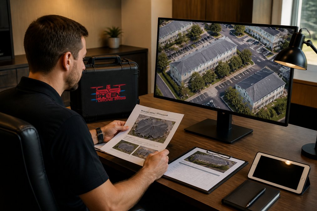
Choosing a betterview alternative means matching platform strengths to your actual use case. The four platforms below represent different approaches to property intelligence.
| Platform | Best For | Pricing Model | Key Strength |
|---|---|---|---|
| EagleView | High-volume insurance and roofing | Per-report or subscription | Coverage depth and measurement accuracy |
| Nearmap | Enterprise portfolio management | Subscription (quote-based) | Imagery freshness and AI layers |
| Hover | Contractor-driven estimates | Per-project or annual sub | Smartphone-based 3D modeling |
| RoofSnap | Small residential portfolios | Pay-as-you-go or subscription | Affordability and ease of use |
EagleView: Best for High-Volume Insurance and Roofing Assessments
EagleView is the most established name in aerial property measurement. It covers more than 98% of U.S. addresses, including rural properties that other platforms miss. Its AI-driven 3D property visualizations include full exterior measurements: roof geometry, walls, windows, and doors.
For property managers handling insurance claims or coordinating large-scale roofing programs, that level of detail reduces on-site visits and speeds underwriting. EagleView's real advantage is carrier acceptance, reports are recognized by a broad range of insurance carriers, which matters enormously when managing claims across mixed portfolios.
Pros:
- Industry-leading measurement accuracy across diverse property types
- Near-universal insurance carrier acceptance
- Covers rural and hard-to-reach addresses
Cons:
- No transparent pricing on the website
- Can be expensive for smaller portfolios
- Customer support response times are inconsistent
Nearmap: Best for Enterprise Portfolio Management
Nearmap sits at the premium end of the property intelligence market, earning that position through one key differentiator: imagery currency. High-resolution aerial imagery refreshed up to three times per year means your asset profile reflects recent conditions. The platform generates more than 130 semantic property layers through AI analysis and integrates with GIS and CAD tools.
Pros:
- Extremely high-resolution imagery with frequent refresh cycles
- Comprehensive AI-driven property intelligence layers
- Strong API connectivity for enterprise workflow integration
Cons:
- Pricing is quote-based and typically expensive for smaller operations
- Coverage gaps in less urbanized areas
- Feature update cadence has drawn criticism from some users
Hover: Best for Contractor-Driven Property Estimates
Hover creates accurate 3D models and material takeoffs from smartphone photos taken by contractors or homeowners on site. It's not a traditional property intelligence platform but a sales and estimating tool for exterior contractors. For property managers working closely with roofing, siding, or painting contractors, it accelerates the estimate-to-approval cycle.
The platform integrates with more than 50 contractor tools including Xactimate, JobNimbus, and AccuLynx. Per-project pricing starts at $29, making it accessible for occasional use.
Pros:
- Smartphone-based workflow with no specialized equipment required
- Strong contractor tool integrations
- Helps visualize exterior projects for homeowner approval
Cons:
- Accuracy depends on photo quality at capture
- Pro subscription adds $999 per year on top of per-project fees
- Not suited for portfolio-wide risk management
RoofSnap: Best for Small Residential Portfolios on a Budget
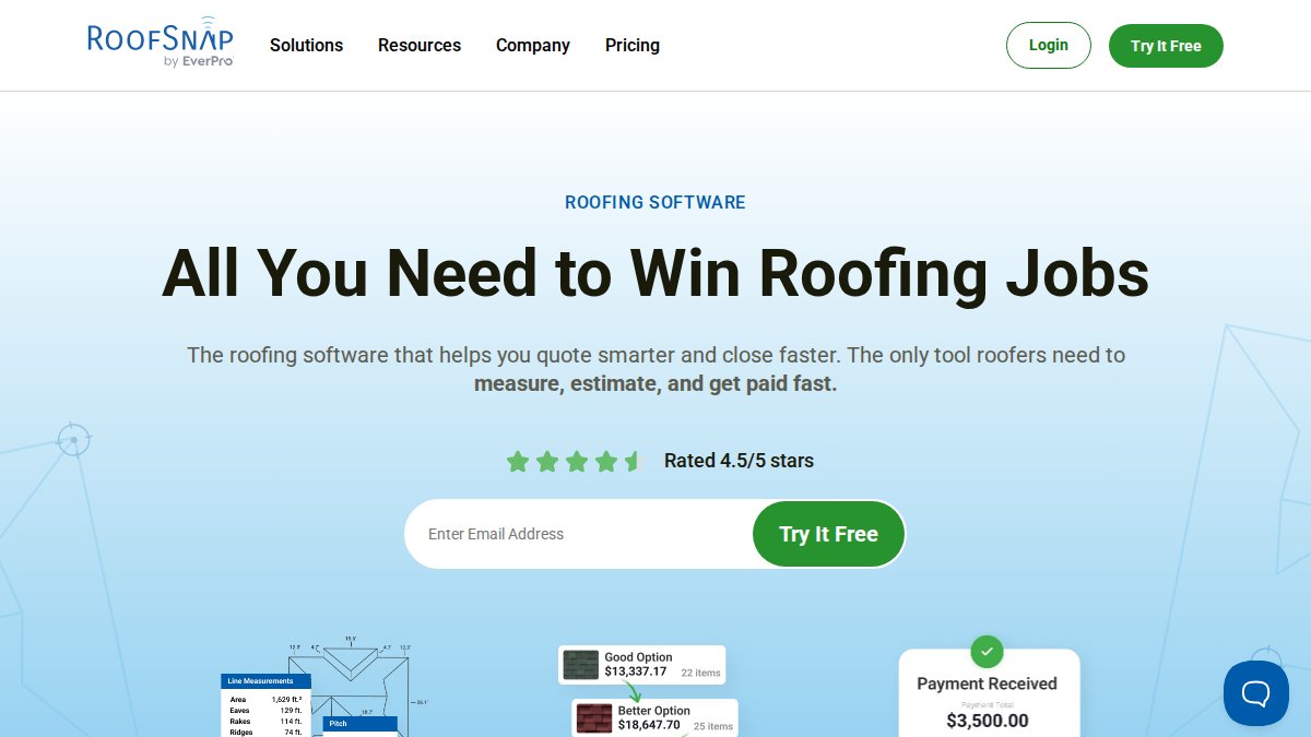
RoofSnap offers draw-it-yourself roof sketching tools that let users measure roofs from map data without waiting for a report. Pay-as-you-go pricing starts at $13 per standard roof measurement report. For small to mid-sized residential property managers needing basic measurement data without a large software commitment, RoofSnap delivers strong value. multifamily inspection alternatives.
Pros:
- Affordable pay-as-you-go option with no long-term commitment
- Unlimited draw-it-yourself measurements included in all subscription tiers
- Strong customer support and onboarding resources
Cons:
- No built-in CRM or pipeline management
- Outdated imagery on newer or rural properties
- Rounded pitch measurements can cause material estimation errors
Drone Roof Inspection for Property Managers: The On-Demand Advantage
Pre-captured aerial imagery, regardless of resolution, reflects what a property looked like on the day the flight was flown. For property managers dealing with storm damage, active roof deterioration, or specific liability concerns, that lag matters. A drone roof inspection closes that gap by delivering same-week, site-specific imagery on demand.
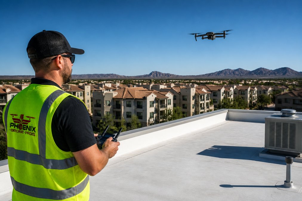
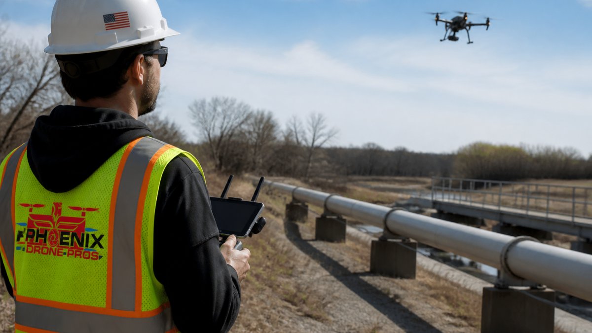
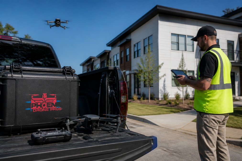
Phoenix Drone Pros provides on-demand drone roof inspections with FAA-certified pilots and fully insured operations. For property managers with steep, fragile, or otherwise difficult-to-access roofs, this approach eliminates safety risks while delivering detailed imagery that documents actual current conditions.
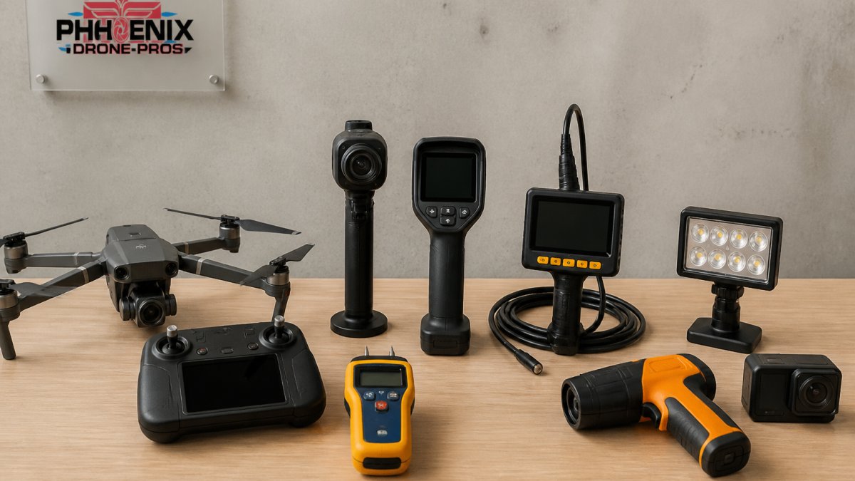
The operational advantages are direct: drone inspection reaches roof sections unsafe for manual inspection, thermal imaging identifies moisture intrusion invisible to standard cameras, construction progress documentation supports ongoing project oversight, and rapid turnaround delivers detailed aerial documentation quickly after the flight.
As the FAA's drone regulatory framework for commercial operations makes clear, commercial drone operations require Part 107 certification. Always confirm that any drone service provider holds current FAA certification and appropriate liability insurance before authorizing a flight over your property.
Implementation Cost vs. ROI: What to Expect When You Switch Platforms
The real cost of switching property intelligence platforms is rarely the subscription fee. It's the implementation time, data migration effort, and learning curve that affects your team's operational efficiency during transition.
A realistic implementation timeline for a mid-sized property portfolio:
| Phase | Activity | Typical Duration |
|---|---|---|
| Evaluation | Vendor demos, trial access, internal alignment | 2-4 weeks |
| Contract and setup | Pricing negotiation, account configuration | 1-2 weeks |
| Data migration | Transferring historical inspection records | 1-3 weeks |
| Training | Team onboarding and workflow adjustment | 1-2 weeks |
| Full operation | Stable workflows with new platform | 4-8 weeks post-launch |
The ROI case for switching typically rests on three factors: reduction in on-site inspection costs, faster claims processing through better documentation, and improved risk mitigation through more current data. For portfolios with frequent inspection requirements, platforms with per-report pricing can become expensive at scale. Subscription-based models with unlimited access often deliver better economics once inspection volume crosses a certain threshold.
Before signing any contract, confirm exactly what data you own, in what format you can export it, and what the process looks like if you decide to switch again in the future.
Migration Challenges and How to Avoid Them
Platform migrations fail for predictable reasons. Understanding them in advance is the most effective form of risk mitigation.
The most common migration challenges for property managers:
- Historical data gaps: Inspection records and asset profiles that exist only in your old platform's proprietary format may not transfer cleanly. Request a full data export in CSV or standard GIS format before canceling your existing contract.
- Integration re-mapping: Any workflow connecting your old platform to your property management system, claims processing tool, or reporting dashboard will need rebuilding. Document every integration point before migration begins.
- Team retraining: Staff who have built muscle memory around one platform's dashboard will need structured onboarding on the new one. Rushing this step creates data entry errors and missed inspection triggers.
- Coverage validation: If switching to a platform with different geographic coverage, validate that your entire portfolio falls within the new platform's service area before committing.
According to NIST guidelines on data portability and system migration, establishing clear data ownership and export standards before vendor lock-in occurs is a foundational principle of sound technology procurement.
A practical migration checklist:
- Export all historical inspection records in a standard format
- Document every existing integration and API connection
- Validate new platform coverage across your full portfolio
- Run both platforms in parallel for at least 30 days before full cutover
- Confirm data ownership and export rights in the new contract
How to Choose the Right Solution for Your Portfolio Size
The biggest mistake property managers make when evaluating a betterview alternative is selecting a platform based on features rather than fit. Match your selection to your actual operational profile:
Small residential portfolios (under 100 units): RoofSnap's pay-as-you-go model keeps costs proportional to usage. Supplement with on-demand drone inspections for specific high-priority properties.
Mid-sized mixed portfolios (100-500 units): EagleView's coverage depth and carrier acceptance make it the strongest choice if insurance claims management is a core workflow. If geospatial data and portfolio-wide risk assessment matter more, Nearmap's imagery quality and API connectivity justify the higher cost.
Large commercial or enterprise portfolios (500+ units): Nearmap's subscription model and enterprise-grade API connectivity make it the natural fit. The cost per asset at scale becomes manageable, and AI-driven property intelligence layers support data-driven decision making.
Contractor-heavy operations: Hover's smartphone-based workflow and deep contractor tool integrations make it the most practical choice when your primary use case is exterior estimates and homeowner visualization.
Start with the decision your data needs to support, risk assessment, claims processing, maintenance scheduling, or underwriting efficiency, then work backward to the tool.
As the Urban Land Institute's guidance on real estate technology adoption notes, successful digital transformation in property management consistently comes down to aligning technology selection with operational workflow rather than adopting platforms for their feature count alone.
Property managers who have outgrown their current platform, or who need inspection capability that no SaaS dashboard can provide, face a two-part problem: finding the right software and getting accurate, current data when pre-captured imagery isn't enough. Phoenix Drone Pros addresses the second part directly. With FAA-certified pilots, full insurance coverage, and over a decade of commercial drone experience, our team delivers on-demand aerial inspections and thermal roof assessments that give property managers current-condition documentation they can act on. Contact Phoenix Drone Pros for scheduling and pricing information tailored to your inspection requirements.
Frequently Asked Questions
What are the best alternatives to Betterview for property inspections?
The strongest alternatives depend on your portfolio size and inspection goals. EagleView suits high-volume insurance and roofing assessments with AI-driven 3D measurements across 98% of U.S. addresses. Nearmap fits large commercial portfolios needing frequently refreshed aerial imagery. Hover works well for contractor-led estimates from smartphone photos. For hands-on, site-specific drone roof inspection for property managers, a certified drone service provider offers real-time access and customized deliverables that software platforms cannot replicate.
Is drone-based property intelligence better than satellite imagery?
For most property managers, drone-based inspections offer higher resolution, greater flexibility, and the ability to capture hard-to-reach areas that satellite imagery misses entirely. Drones can fly at low altitude, capture oblique angles, and generate thermal data for moisture or insulation issues. Satellite and aerial subscription platforms refresh imagery periodically, which means you may be reviewing data that is months old. A betterview alternative built on live drone flights gives you current, site-specific information for accurate risk assessment and loss control decisions.
What features should property managers look for in an aerial inspection tool?
Focus on four core property intelligence software features: image resolution and update frequency, integration with your existing property management or claims workflows via API, the quality of automated reporting and asset profiles, and coverage of your specific portfolio locations. For commercial real estate, look for 3D modeling and geospatial data layers. For residential portfolios, prioritize fast turnaround and clear roof condition documentation. Compliance monitoring and cloud-based storage also matter when managing multiple properties across different jurisdictions.
How do aerial property intelligence platforms improve property management?
Aerial platforms speed up risk assessment by replacing manual on-site visits with high-resolution imagery and predictive analytics. Property managers can document roof conditions, track construction progress, identify maintenance issues early, and support insurance underwriting without scheduling physical inspections for every property. This reduces operational costs, shortens claims processing timelines, and supports data-driven decision making across large portfolios. The efficiency gains are most significant when the platform integrates directly with existing tenant management or portfolio management software.
How much does switching from Betterview to another platform cost?
Migration costs vary significantly based on your current data volume, the integrations you rely on, and whether you need staff retraining. SaaS platforms like EagleView and Nearmap use subscription or per-report pricing, but neither publishes rates publicly, you will need a direct quote. On-demand drone inspection services price per project based on property size, access complexity, and deliverable type. Request itemized quotes and ask vendors specifically about data export formats and API setup time before committing to any betterview alternative.
This article was written using GrandRanker