 how-to
Book Professional Drone Photography Today: A Complete Guide
Table of Contents
- Why Professional Drone Photography Matters for Your Project
- Types of Professional Drone Photography Services
- Real Estate Drone Photography Pricing: What to Expect
- Drone Photography Preparation Checklist for Property Owners
- Why FAA Part 107 Certified Drone Pilots Make a Difference
- How to Book Professional Drone Photography Services
- What to Expect During and After Your Drone Photography Session
- Conclusion
Last Updated: August 29, 2026
Why Professional Drone Photography Matters for Your Project
Professional drone photography delivers clarity, composition, stability, and angles that ground-level photography cannot capture. Real estate agents use aerial shots to showcase property scale and landscape features. Construction managers track project progress from angles that reveal details missed by site visits. Event organizers capture cinematic moments that ground cameras cannot reach.
At Phoenix Drone Pros, we understand that professional drone photography isn't just about having a camera in the sky. It's about understanding what your specific project needs, planning the flight to capture those exact moments, and delivering polished footage that tells your property's story. With over a decade of commercial drone experience, we've learned what separates footage that impresses from footage that converts.
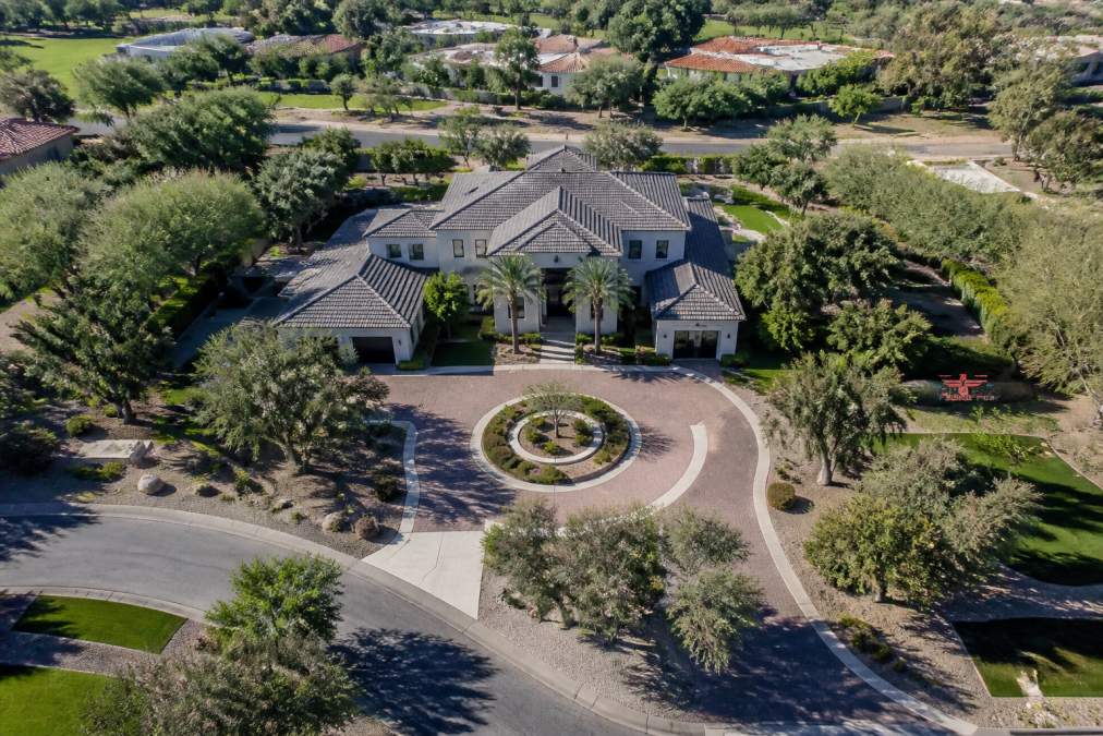
High-resolution imagery reveals property condition and features that listing photos miss. Aerial video creates emotional engagement, helping potential buyers and investors see the full scope of what they're considering. For construction sites, regular aerial documentation provides accountability and tracks progress against timeline. For facility managers, drone inspections reach areas that would otherwise require expensive equipment or risky manual access.
Types of Professional Drone Photography Services
Professional drone photography encompasses several distinct service categories, each designed for different project needs.
Real estate aerial photography captures properties in their best light, including wide-angle shots showing the entire property and surrounding context, detail shots highlighting specific features like pools or landscaping, and establishing shots showing how the property sits within its neighborhood. For commercial real estate transactions, we also offer Video Offering Memorandum services that present properties to investors and stakeholders through professional aerial documentation.
Aerial videography creates polished marketing content through smooth camera movements, color grading, and professional editing. This service is popular for luxury real estate listings, event coverage, and commercial property showcases.
Construction progress documentation happens on a regular schedule, weekly, bi-weekly, or monthly, to create a visual record of project advancement. Construction teams use this for client updates, financing documentation, and internal project management.
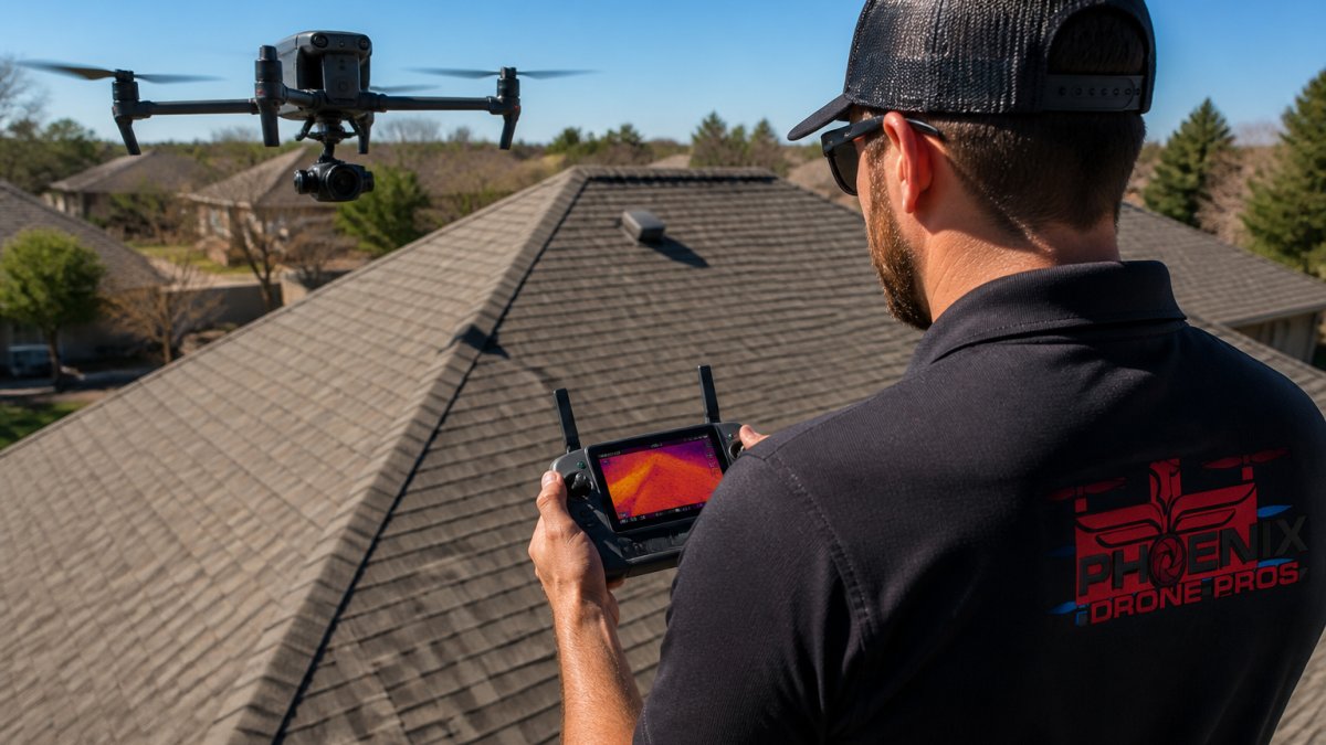
Property inspections using drone technology have become standard for roof assessments, structural evaluation, and site surveys. Thermal imaging drones detect heat loss, moisture problems, and other issues invisible to standard cameras. For specialized applications like facility maintenance, we also provide drone solar panel cleaning services that combine inspection with cleaning efficiency.
3D mapping and orthomosaic services create detailed aerial maps of properties and sites. Construction managers use orthomosaics to track site dimensions and progress. Developers use them for site planning.
Real Estate Drone Photography Pricing: What to Expect
Pricing for professional drone photography depends on several factors that directly affect the work involved.
Project scope is the primary driver. A single property with straightforward access costs less than a large estate with multiple buildings, complex terrain, or restricted airspace. Multiple flights over weeks or months typically have different per-flight rates than one-time projects.
Deliverables matter significantly. Still images alone cost less than video. Video with basic editing costs less than color-graded, fully edited cinematic footage. Raw files versus finished assets represent different levels of work.
Location and accessibility affect scheduling and logistics. A property in congested airspace requires more flight planning. A site difficult to reach adds travel time. Weather delays impact turnaround time.
Turnaround time is a legitimate cost factor. Rush delivery requires prioritizing your project over others. Contact Phoenix Drone Pros with details about your specific project for a custom quote based on what you actually need, not generic rate cards.
Drone Photography Preparation Checklist for Property Owners
Preparing properly before a professional drone photography session ensures the best possible results and keeps the shoot on schedule.
Site preparation starts a few days before. Clear visible clutter from areas the drone will capture, trash bins, construction materials, parked cars that don't belong. Trim tree branches that might block camera angles. For properties, a clean yard and clear driveway matter.
Weather planning is essential. Ideal conditions are calm winds, clear skies, and good lighting. Early morning or late afternoon provides better light than midday. Check the forecast for the week leading up to your shoot and identify the best day.
Airspace clearance requires advance notice in some cases. If your property is near an airport or in controlled airspace, the pilot needs to file for airspace authorization. Provide your exact property location to your drone pilot well in advance.
Access and logistics need coordination. Confirm parking for the drone pilot and equipment. Identify where the pilot will position themselves for optimal camera angles. If the property is gated or restricted, provide access instructions. aerial photography equipment.
Specific requests should be communicated clearly. Which property features matter most? Are there specific angles you want captured? Do you need video, stills, or both? Clear communication ensures the pilot focuses on what matters to you.
Post-shoot timeline should be discussed upfront. When do you need the final files? Understanding turnaround expectations prevents frustration.
Why FAA Part 107 Certified Drone Pilots Make a Difference
Flying a drone commercially requires FAA Part 107 certification, representing genuine knowledge and accountability (faa.gov).
Part 107 certification means the pilot has passed the FAA's Remote Pilot in Command exam, covering airspace rules, weather effects, loading and performance, emergency procedures, and regulations. Certification requires renewal every 24 months, so certified pilots stay current with changing regulations (faa.gov). Our team maintains current certifications and regularly completes drone flight training to stay ahead of industry standards.
Insurance requirements follow certification. Commercial drone operations must carry liability insurance, protecting you if something goes wrong. A certified, insured pilot has invested in proper credentials and coverage.
Airspace authorization is part of the certified pilot's job. They know how to file for Part 107 waivers when needed, check airspace restrictions, and operate legally. Flying near airports, in congested areas, or over people requires specific authorizations.
Operational standards come with certification. Part 107 rules specify flight altitude limits, line-of-sight requirements, weather minimums, and safety protocols (faa.gov). A certified pilot follows them consistently.
Professional accountability matters. If something goes wrong, you want documentation that the work was performed by a licensed professional following established standards.
Phoenix Drone Pros operates with full FAA Part 107 certification and comprehensive insurance coverage. When you book professional drone photography with a certified operator, you're protecting yourself.
How to Book Professional Drone Photography Services
Booking professional drone photography follows a straightforward process.
Initial contact starts the conversation. Reach out with basic information: what you need photographed, when you'd like the shoot, and what deliverables matter most. A brief description helps the pilot understand scope.
Consultation and quote comes next. The drone photographer reviews your requirements, discusses timeline and budget, and explains what's involved. This is when you ask questions about their experience, equipment, and process.
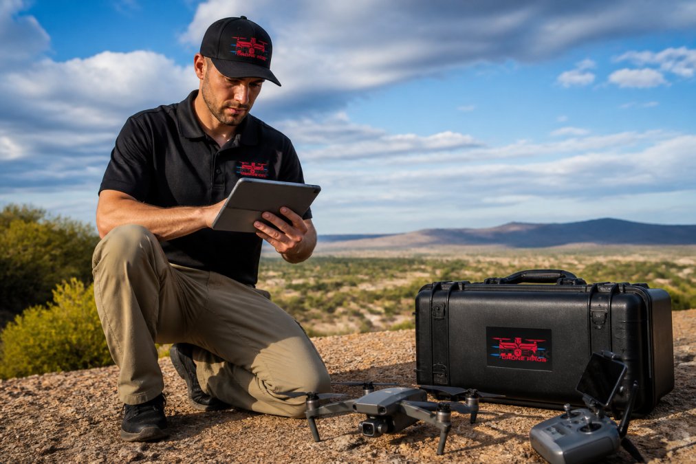
Service agreement formalizes the arrangement. This document specifies the shoot date, deliverables, pricing, payment terms, and turnaround time. It clarifies what happens if weather forces rescheduling.
Pre-shoot preparation happens in the days before. Confirm the schedule, discuss any special requests, and prepare the property or site. Provide access information and confirm parking.
The shoot itself typically takes 1-3 hours depending on scope. The pilot arrives, assesses conditions, conducts equipment checks, and executes the flight plan.
Delivery and payment complete the transaction. The pilot edits and processes the footage according to your agreement, then delivers the final files. Payment typically happens upon delivery.
Post-delivery support varies by operator. Clarify what's included before the shoot so there are no surprises.
What to Expect During and After Your Drone Photography Session
Understanding what happens during the shoot and afterward helps you know what's normal and what to anticipate.
Pre-flight checks happen before the drone launches. The pilot inspects equipment, checks battery levels, calibrates sensors, and verifies that all systems function properly. Weather is checked one final time to confirm conditions are suitable.
Flight execution follows the plan but remains flexible. The pilot maintains visual line of sight with the drone at all times, follows altitude limits, and maintains safe distance from obstacles. The flight itself typically takes 20-40 minutes depending on what's being captured.
On-site review happens immediately after. The pilot reviews footage to confirm they captured what was needed. If something looks wrong or incomplete, they can fly again while still on site.
Post-production workflow begins after the shoot. Raw footage is imported, organized, and reviewed. For still images, this means selecting the best shots and processing them for color and clarity. For video, this means editing clips in sequence, color grading, and adding transitions. This work typically takes 3-7 days depending on complexity.
Delivery formats vary based on your needs. High-resolution stills are typically delivered as JPEGs or TIFFs. Video is delivered in standard formats like MP4 or MOV. Clarify what formats you need before the shoot.
Revisions and adjustments are normal. Professional operators expect reasonable revision requests and include them as part of the service.
Conclusion
Professional drone photography transforms how you present properties, document progress, and capture events. The investment in quality aerial imagery pays for itself through faster sales, better project documentation, and content that stands out.
Phoenix Drone Pros brings over a decade of commercial drone experience to every project. Our FAA-certified team handles everything from real estate marketing to construction documentation to specialized inspections. We deliver high-resolution footage, detailed property views, and reliable service that property owners, real estate professionals, and construction teams depend on. Contact Phoenix Drone Pros today to discuss your project and get a custom quote for your professional drone photography needs.
Frequently Asked Questions
Q: How much does professional drone photography typically cost?
A: Pricing for professional drone photography depends on project scope, flight time, location, and post-processing requirements. Real estate shoots, construction documentation, and event coverage each have different pricing structures. Contact Phoenix Drone Pros for a custom quote based on your specific needs and timeline.
Q: What certifications should a professional drone photographer have?
A: A professional drone photographer should hold an FAA Part 107 remote pilot certificate, which requires passing an aeronautical knowledge test and demonstrating flight proficiency. They should also carry commercial liability insurance and understand airspace authorization requirements. These credentials ensure compliance with federal regulations and protect your property during the shoot.
Q: How long does it take to book and complete a drone photography session?
A: Booking timelines vary based on your location, project complexity, and weather conditions. Most professional operators can schedule shoots within 1-2 weeks. Turnaround time for edited footage typically ranges from a few days to a week, depending on the volume of content and editing requirements. Discuss specific deadlines with your drone service provider when booking.
Q: How do I prepare my property for a professional drone photography shoot?
A: Clear the area of obstacles like vehicles, temporary structures, and debris that could interfere with flight paths. Ensure landscaping is well-maintained and the property is clean. Notify neighbors of the scheduled shoot. Provide access to power outlets if the pilot needs to charge batteries on-site. Discuss any specific angles or areas of focus with your drone photographer before the session begins.
This article was written using GrandRanker