 how-to
Improving Property Maintenance With Aerial Data
Table of Contents
- Why Aerial Data Changes Property Maintenance
- What a Drone Property Inspection Actually Reveals
- Aerial Roof Inspection: Safer, Faster, More Detailed
- Building a Property Maintenance Inspection Checklist
- Reading a Drone Inspection Report and Prioritizing Repairs
- Integrating Aerial Data Into Maintenance Systems
- Frequently Asked Questions
Last Updated: October 7, 2026
Why Aerial Data Changes Property Maintenance
Aerial data is property information captured from the air by drones, then turned into records like high-resolution photos, 2D maps, and condition notes. It lets a maintenance team see every roof, parking area, and landscape in one pass.
Most maintenance programs fail because nobody sees the whole site at once, so problems hide.
Three things change when you add aerial imagery:
- Full coverage. One flight documents every structure and surface.
- Safer inspections. No one climbs a steep roof for a first look.
- Better records. Every image is dated, so you can compare over time.
Below: what a drone inspection reveals, how to build a checklist, and how to turn images into prioritized repairs.
What a Drone Property Inspection Actually Reveals
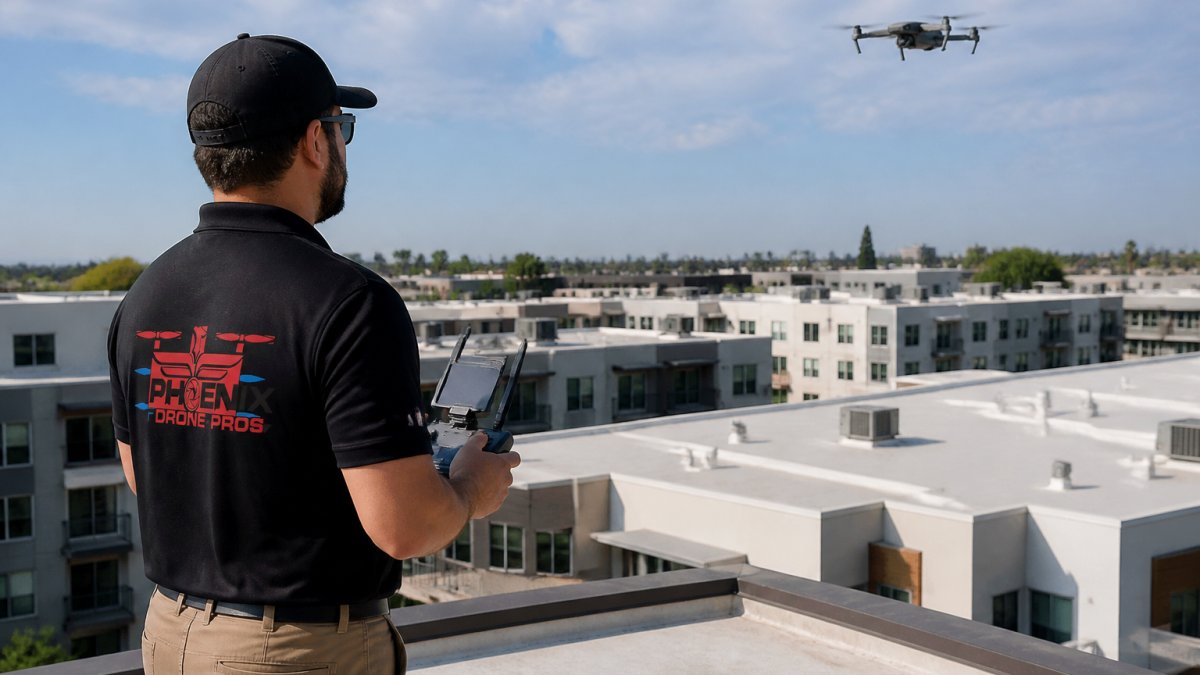
A drone property inspection shows condition from angles a person on the ground cannot reach. One standard flight captures roofs, pavement, and grounds, and that image set becomes your inspection records for the season.
The FAA rules for commercial drone operations require certified pilots and clear operating limits, which is why training and insurance matter when you hire a provider. If you want that capability in-house, Done flight training covers the skills and certification prep needed to fly commercial missions legally.
What the images typically show:
- Missing or lifted roof shingles
- Ponding water on flat roofs
- Cracks in parking areas and curbs
Roofs, Pavement, and Grounds in One Flight
One flight covers all three. Most teams visit a site three separate times for the same information; a single aerial mapping pass cuts that to one visit, giving you faster data collection and a complete property data set you can hand to any vendor.
Aerial Roof Inspection: Safer, Faster, More Detailed
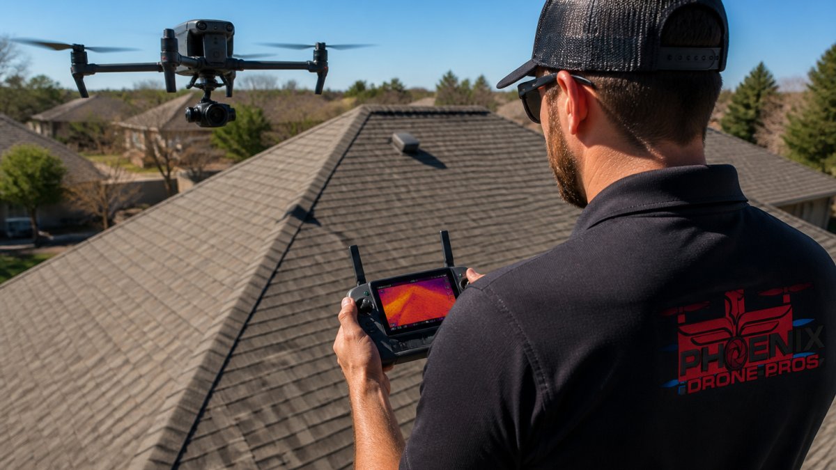
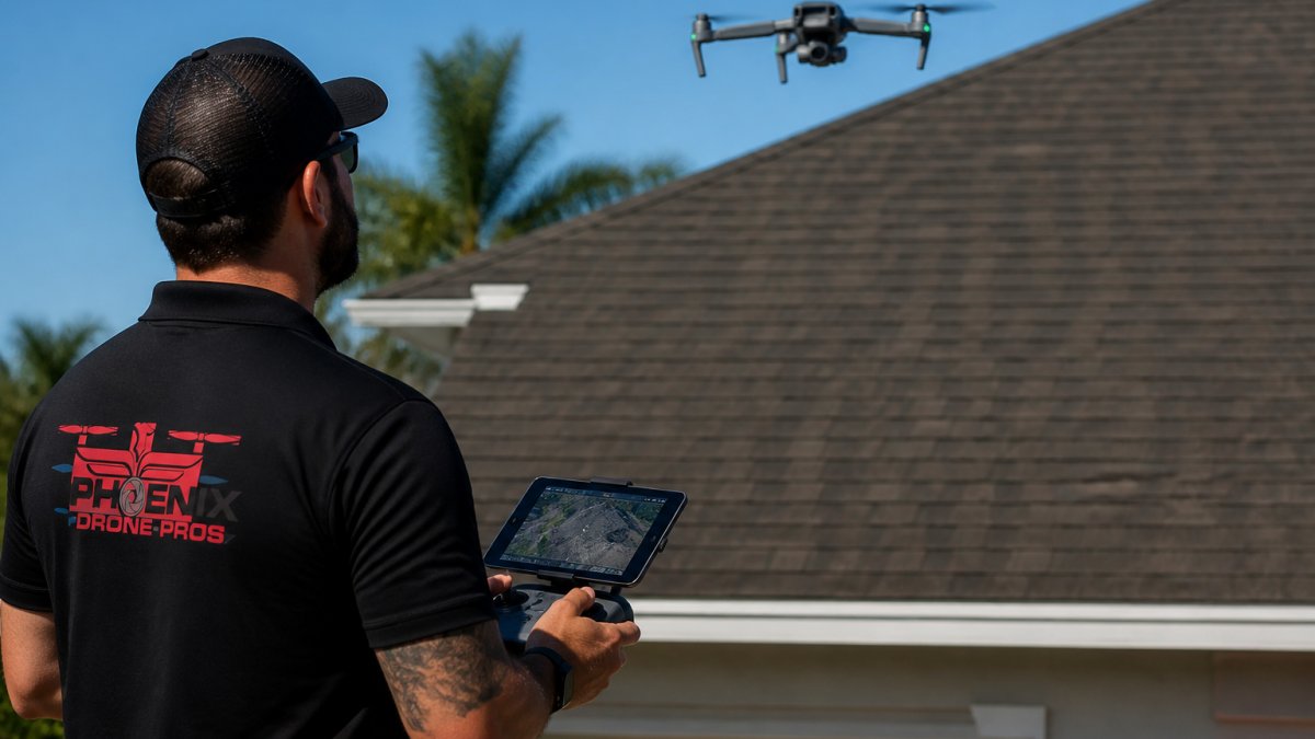
An aerial roof inspection uses drone imagery to assess roof condition without sending anyone onto the roof, removing the biggest safety risk in property maintenance.
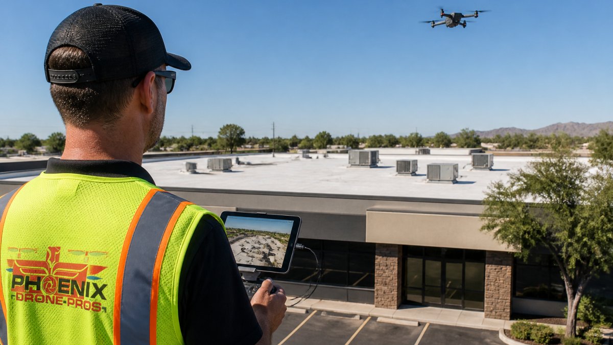
High-resolution imagery also beats a ground view: a pilot can hover close to a damaged section and capture detail a person in the parking lot would never see. Thermal cameras add another layer, spotting moisture and heat loss under the surface, the same thermal drone technology used in search and rescue operations.
The practical gains:
- No ladder work for a first assessment
- Full roof coverage in minutes, not hours
- Images you can zoom into for detail
Building a Property Maintenance Inspection Checklist
A property maintenance inspection checklist turns a pile of images into a repeatable process. Without one, every inspection produces different notes and nothing gets compared. Build it around what the drone can actually document.
What to Include for Roofs, Parking Areas, and Landscapes
Use this checklist for each flight:
- Roof surface: missing shingles, ponding, membrane damage
- Roof edges: flashing, drains, gutters
- Parking areas: cracks, potholes, faded striping
| Area | What to Check | Why It Matters |
|---|---|---|
| Roof | Shingles, drains, flashing | Prevents leaks and costly water damage |
| Parking areas | Cracks, striping, potholes | Reduces liability and repaving costs |
| Landscapes | Overgrowth, irrigation leaks | Protects walkways and water use |
| Envelope | Siding, windows, signage | Keeps curb appeal and tenant trust |
Reading a Drone Inspection Report and Prioritizing Repairs
A drone inspection report is a written summary of findings with images attached to each item. Images alone fix nothing, and a report listing 40 unranked findings just moves the bottleneck from capture to triage.
The strongest reports follow a consistent structure: a cover page with flight date, weather, and pilot credentials; a site map pinning each finding; a photo log with raw image filenames; and a findings table with severity, recommended action, and repair window.
A Simple Scoring Model for Ranking Defects
Sort every finding on two axes: likelihood of failure in the next 12 months, and consequence if it fails.
| Finding | Likelihood (1-5) | Consequence (1-5) | Score | Bucket |
|---|---|---|---|---|
| Active ponding near a roof drain | 5 | 5 | 25 | Urgent |
| Cracked walkway edge at a main entrance | 4 | 4 | 16 | Urgent |
| Faded parking striping | 3 | 2 | 6 | Planned |
| Minor shingle granule loss on a south slope | 2 | 3 | 6 | Monitor |
| Overgrowth blocking a secondary drain | 3 | 4 | 12 | Planned |
Consequence should reflect more than repair cost: a trip hazard at a main entrance carries liability exposure, a roof leak above tenant space carries downtime and interior damage, and a faded sign carries curb appeal. Weight the score to match what ownership cares about.
Turning the Report Into Work Orders
Once findings are scored, the handoff is mechanical:
- Urgent (score 16-25). Create a work order the same day, assign a vendor, and set a completion date inside two weeks. Attach the aerial photo to the work order so the vendor sees the exact location before arriving.
- Planned (score 8-15). Add to the next quarterly maintenance cycle. Group findings by trade, roofing, paving, landscaping, so one vendor visit covers several items.
- Monitor (score 1-7). Log the finding with the photo and set a reminder to re-check on the next flight. No work order yet.
This is how you connect aerial data to preventive maintenance. You stop reacting to emergencies and start planning work on your schedule. A roof drain showing early ponding goes into the planned bucket. A cracked walkway edge at a main entrance goes into urgent. Prioritizing these repairs preserves the long-term integrity of the building, as consistent essential roof maintenance remains the most effective way to protect overall property value.
Estimating the Return
You do not need a formal model to justify the spend. Track four numbers across a season against your pre-aerial baseline:
- Inspection labor hours. A single flight that replaces three separate site visits typically cuts inspection hours by more than half. Multiply the saved hours by your loaded labor rate.
- Travel and mobilization. Fewer trips means fewer miles, fewer per-diem charges, and less windshield time for your team.
- Avoided damage. Compare the cost of the repairs you caught early against what the same defects would have cost after another season of deterioration. A drain cleared before ponding becomes a membrane replacement is the clearest example.
Most practitioners find labor and travel savings alone cover a quarterly flight program on a mid-size portfolio. Avoided damage is where the real return sits but is hardest to prove, so document before-and-after photos for every urgent finding.
Validate Before You Spend
Aerial imagery is a screening tool, not a diagnosis. Before committing budget to a large repair, send someone to confirm the finding on the ground: resolution limits, glare, and shadows can make a stain look like a crack or hide one entirely, and verification protects you from over-repairing based on one ambiguous image.
Integrating Aerial Data Into Maintenance Systems
Aerial data earns its keep when it lives inside your maintenance system, not in a folder on someone's desktop. Every image and finding should attach to the asset it describes, so the next inspection compares against the last automatically.
Where the Data Needs to Land
Most property teams run some combination of these systems, each needing a different slice of the aerial data:
- Asset register. Every building, roof section, parking lot, and major landscape zone should have a unique ID. Findings from the flight get tagged to that ID so history accumulates on the asset, not on a person's laptop.
- Computerized maintenance management system (CMMS). This is where work orders live. The findings table from the report should import as work-order rows, with the aerial photo attached to each row. Most CMMS platforms accept a CSV import and a photo attachment, which is why asking your provider for a spreadsheet matters.
- GIS or site mapping. If you maintain a geographic information system, the flight's orthomosaic, the stitched, top-down map, can be georeferenced and layered over your parcel and utility data. This is how you see a roof defect in relation to a drain line or a parking crack in relation to a catch basin.
The Work-Order Loop
Integration only pays off if it closes the loop:
- Flight captures imagery and the provider delivers a findings table with asset IDs.
- Findings import into the CMMS as work orders, each with a photo and a priority score.
- The vendor completes the repair and uploads an after-photo to the same work order.
- The next flight re-images the same asset, and the new photo sits next to the old one in the asset history.
That before-and-after pair is the documentation you show owners, insurers, and stakeholders, and it feeds the ROI calculation above because you can point to defects caught early and repaired before they escalated.
Data Formats and Practical Constraints
A few format realities matter before you promise a seamless import:
- Orthomosaics are typically delivered as GeoTIFF files, which carry location data and open in GIS software. They can be large, often several gigabytes for a single property, so plan storage accordingly.
- 3D models are usually delivered as point clouds or mesh files. They are useful for measuring roof slope and volume, but they are heavier to work with than a flat map and not every CMMS can display them.
- Raw images are the most portable format. They open anywhere and are the safest long-term record if a software platform changes.
Privacy, Permissions, and Retention
Aerial capture raises practical questions:
- Flight permissions. Commercial drone operations require a certified remote pilot and adherence to operating limits. Confirm your provider holds the right certification and insurance before the first flight.
- Privacy. Cameras capture whatever is in frame, including neighboring property and people. Brief your provider on what should not be imaged, and expect them to avoid windows and private yards where possible.
- Site access and safety. Coordinate with on-site staff, tenants, and any controlled-access areas before the flight. A short pre-flight notice prevents surprises.
Construction Progress and Portfolio Oversight
Construction progress applies the same integration idea to change over time: regular flights document each phase, and dated images support draw requests, stakeholder updates, and schedule verification.
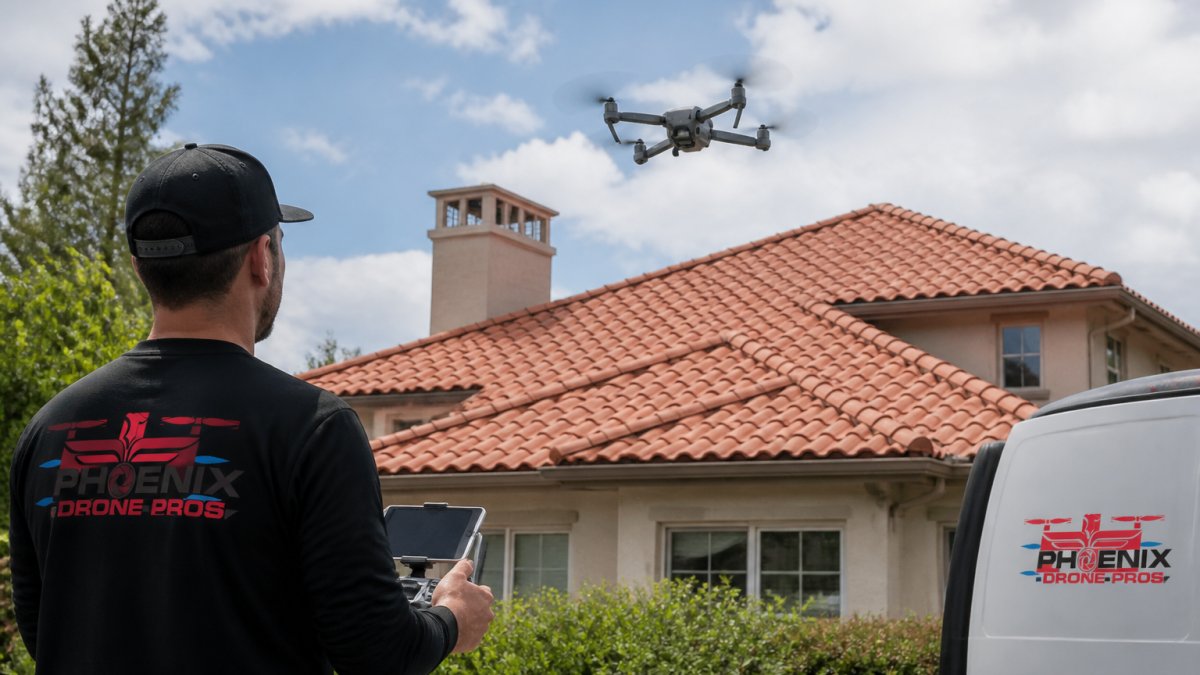
This is where a provider matters. Phoenix Drone Pros offers reliable construction progress documentation and detailed aerial views, with local pilots in Phoenix and San Antonio. We are FAA certified and fully insured, so your records come from a team that meets the standard your insurer expects.
Frequently Asked Questions
How can aerial data improve property maintenance?
Aerial data replaces guesswork with visual evidence. A single drone flight can capture roof condition, pavement cracks, drainage issues, and landscape problems across an entire property portfolio. That means maintenance teams spot small defects before they become expensive repairs, schedule work based on actual condition rather than calendar dates, and document everything with high-resolution imagery that stakeholders can review without leaving the office.
How often should a property be inspected with a drone?
Most commercial properties benefit from quarterly drone property inspections, with an additional flight after severe weather events like hail or high winds. Roofs and parking areas take the most abuse from sun and storms, so twice-yearly aerial roof inspection is a practical minimum for those assets. Properties under construction or in active renovation typically need monthly or biweekly flights to track progress and catch issues early.
What should a property maintenance drone inspection report include?
A useful drone inspection report pairs high-resolution imagery with location data, severity ratings, and recommended actions. Look for annotated photos that mark defects like cracked flashing, ponding water, or damaged pavement, plus a summary that ranks issues by urgency. The report should also note image resolution and any areas the flight could not cover, so maintenance decisions rest on validated findings rather than assumptions.
Can drones inspect roofs and other hard-to-reach areas?
Yes. Drones capture roof condition, gutters, HVAC units, skylights, and steep or fragile roof sections without putting anyone on a ladder or harness. They also reach parking structures, retention ponds, and building facades that are difficult or unsafe to inspect on foot. For properties with multiple buildings, a single flight can cover every roof in one session and produce a consistent inspection record.