 Comparison
Drone Mapping Services for Land Development: What to Compare
Last Updated: November 7, 2026
Quick Summary
Drone mapping services for land development turn aerial photos into survey-grade data such as orthomosaics, topographic surveys, point clouds and cut-and-fill volumes. Compare providers by the exact deliverables, stated vertical accuracy, ground control method and pricing scope before you choose.
- A crew can fly a parcel in a day instead of weeks of walking a site with a total station.
- Ask whether the provider delivers the raw point cloud, not only processed products.
- Vertical accuracy matters most for grading, drainage and cut-and-fill decisions.
- Ask for accuracy as a stated number with a statistic, confidence level and checkpoint residuals.
- Compare quotes line by line, since a much lower price may reflect a narrower deliverable set.
Table of Contents
- What Drone Mapping Services Deliver for Land Development
- Drone Mapping Services for Land Development Cost Breakdown
- Drone Mapping Deliverables to Specify in Your Scope of Work
- Accuracy, Ground Control, and Validating Results
- Drone Mapping Software and Data Handoff to Your Design Team
- Best Drone Mapping Services for Land Development: How the Options Compare
- Booking a Land Development Drone Mapping Project with Phoenix Drone Pros
- Frequently Asked Questions
What Drone Mapping Services Deliver for Land Development
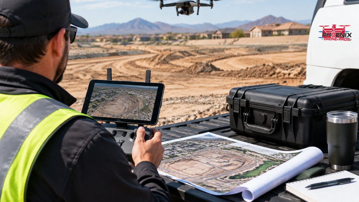
Drone mapping services for land development turn aerial photos into survey-grade data that engineers, developers and contractors can plan from. Instead of walking a site with a total station for weeks, a crew can fly a parcel in a day and hand back maps, models and elevation files. Learn how each deliverable is produced on our orthomosaic drone mapping services explained page. That speed is the main reason the category keeps growing. The drone GIS mapping market has been growing steadily, and demand for fast, data-driven site information continues to rise.
A good provider should be able to name every file you will receive before the job starts.
Orthomosaics, Topographic Surveys, and Point Clouds
An orthomosaic is a single, scaled, top-down image stitched from hundreds of overlapping photos. It shows the site as it looks now, with distances you can measure. A topographic survey goes further, adding surface elevation so you can see slopes, drainage paths and grade changes. Point clouds sit underneath both: millions of georeferenced points that describe the site in three dimensions.
Ask whether the provider delivers the raw point cloud or only the processed products. Raw data lets your design team re-run calculations later without a second flight.
Elevation Data, Contours, and Cut-and-Fill Volumes
Most land development decisions hinge on earthwork. Elevation data feeds contour lines, which show grade at set intervals, and digital terrain models that support cut-and-fill calculations. Cut-and-fill volumes tell you how much soil must be removed or added to reach a target grade, which directly drives hauling and material costs.
Watch out: volume numbers are only as good as the baseline surface. If the provider compares a drone surface against an outdated survey, the cut volume will be wrong by a margin that matters on a large site.
Drone Mapping Services for Land Development Cost Breakdown
Pricing for drone mapping depends on scope, so two quotes for the same parcel can differ based on what is included. Here is how pricing is typically structured and what moves the number.
How providers usually price the work
Mobilization, which covers travel, airspace checks, site access and flight planning, is a fixed cost that can make small parcels relatively more expensive per acre. Terrain also affects cost: heavily wooded, steep or obstructed sites require more flight lines, more ground control and more processing time.
Ask which pricing model a provider uses before you compare numbers, because a low orthomosaic-only quote is not comparable to a full survey quote.
The scope factors that drive the quote
- Acreage and site geometry. Larger contiguous parcels cost less per acre; irregular, split or corridor-shaped sites cost more because flight planning and control layout are harder.
- Terrain and vegetation. Tree canopy and steep grade hide the ground surface and force denser flight patterns and more control points.
- Accuracy requirement. A mapping-grade orthomosaic for visualization generally costs less than a survey-grade surface tied to a stated vertical accuracy, which requires more ground control and checkpoints.
- Ground control and checkpoints. Ground control adds field labor, so confirm how it is handled in any quote.
- Deliverable types. Orthomosaic only is the cheapest tier. Adding a point cloud, DTM/DSM, contours, cut-and-fill volumes or CAD linework each adds processing and QA time.
- Turnaround. Delivery timing can affect cost, so confirm turnaround terms when you request a quote.
- Repeat visits. Ongoing monitoring can be arranged under a recurring agreement, so ask about options for repeat flights.
- Site access and airspace. Sites near controlled airspace, stadiums or other restricted areas may require coordination that adds scheduling time and cost.
What a realistic budget range looks like
Pricing varies with scope, terrain and deliverables, so the most reliable way to budget is to compare quotes for the same specification.
A more reliable way to budget is to ask each provider for the same scope and compare line by line: mobilization, acreage, control, each deliverable, turnaround and revisions.
Watch out: when one quote is much lower than others, compare the scope line by line, since a narrower deliverable set may explain the difference.
For a current quote, contact Phoenix Drone Pros for scheduling and pricing. You can also review our construction drone mapping for site control service before booking.
Drone Mapping Deliverables to Specify in Your Scope of Work
A vague request for "a drone survey" invites disputes later. Write the deliverables into the scope so both sides know what is being delivered. Specify:
- Output format and coordinate system (state plane or local grid, with vertical datum)
- Orthomosaic resolution in centimeters per pixel
- Contour interval, such as 1 foot or 0.5 meter
- Whether you need a point cloud, DTM or DSM, and in what file formats
- Accuracy requirements and how they will be checked
- Delivery timeline and revision rounds included
Leave these out and you may pay for a pretty map that your engineer cannot use.
Accuracy, Ground Control, and Validating Results
"High accuracy" is a marketing phrase until it is tied to a number and a test method. Competitors rarely explain how to read an accuracy statement, which leaves buyers comparing proposals on adjectives instead of specifications. Here is the vocabulary and the validation process you need to hold a provider to measurable terms.
GSD: the resolution you are actually buying
Ground sample distance (GSD) is the real-world size of one pixel in the orthomosaic, usually expressed in centimeters per pixel. A 1 cm GSD image resolves finer detail than a 5 cm GSD image, but it also requires lower flight altitude, more photos and more processing. GSD describes image resolution, it does not, by itself, describe positional accuracy. A provider can deliver a sharp 2 cm orthomosaic that is still poorly georeferenced. Ask for GSD and accuracy as separate numbers. For a deeper look at how the two sensor approaches compare on accuracy, read LiDAR vs photogrammetry for construction mapping.
Horizontal versus vertical accuracy
Horizontal accuracy describes how closely a mapped feature's plan position matches its true position on the ground; vertical accuracy describes how closely modeled elevation matches true elevation. Vertical accuracy is usually the looser of the two and the one that matters most for grading, drainage and cut-and-fill. Because elevation errors can distort cut-and-fill estimates, they should be resolved before site preparation begins, including when coordinating grading with Polk Grading on commercial land clearing.
Accuracy is typically reported as a statistic, for example, root mean square error (RMSE), rather than a single guaranteed number. Ask what statistic the provider reports, at what confidence level, and on what checkpoints.
Ground control points and checkpoints
Ground control points (GCPs) are surveyed markers placed across the site and measured with survey-grade GNSS or a total station. They anchor the drone model to the real coordinate system and correct the drift that accumulates across a large flight.
Ask three questions: How many control points per acre or per site? What equipment measured them? And will the provider supply checkpoint residuals in writing? A provider that flies without ground control can still produce attractive imagery, but relative accuracy suffers and absolute elevation can drift by a margin that matters on a large site.
How to validate a deliverable independently
Validation does not require re-flying the site. A practical process:
- Request the accuracy report. It should list control points, checkpoints, the residuals at each checkpoint, and the reported horizontal and vertical RMSE.
- Spot-check known features. Measure a known distance, a curb, a building corner, a property monument, against the orthomosaic and compare to the field measurement.
- Check elevations against independent data. Compare the drone surface to surveyed spot elevations or an existing benchmark at several locations across the site, not just one.
- Confirm the coordinate and vertical datum. A surface in the wrong datum can be internally consistent and still wrong for design.
- Review the control layout. Control concentrated in one corner of a large site leaves the far side under-constrained.
Watch out: a provider who reports a single accuracy number without checkpoints or a stated statistic is asking you to take the result on faith, and that is exactly the claim that fails when the design team tries to use the surface.
Ask for the accuracy statement in writing, tied to a number, a statistic and a test method. That is what makes two proposals comparable.
Drone Mapping Software and Data Handoff to Your Design Team
Your provider's output has to open in the tools your team already uses. Common handoff targets include CAD and civil design software, GIS platforms and construction management systems. Confirm which formats the provider delivers, such as LAS or LAZ for point clouds, GeoTIFF for orthomosaics, and DXF or LandXML for surfaces and linework.
Verify software pricing and feature details directly with each vendor before committing. If your team needs help getting comfortable with the flight side of the workflow, Done flight training is an option for building in-house capability.
Best Drone Mapping Services for Land Development: How the Options Compare
Choosing a provider comes down to fit. A few questions separate options quickly:
| Option | Starting Price (reported) | Best For | Limitation |
|---|---|---|---|
| AeroViews 3D mapping | USD 500 (large-area projects USD 500 to USD 5,000) | Scalable 3D site data across large areas | Specific deliverable contents not detailed |
| Skyebrowse mapping | USD 300 basic orthomosaic; USD 3,500+ topographic survey | Comparing a basic orthomosaic with a full survey | Exact deliverables and accuracy not specified |
| DroneDeploy | Contact for pricing | Construction and land development platform evaluation | Software, not a field service |
| Propeller | Contact for pricing | Construction site mapping and data collection | Pricing and local operators not established |
| Phoenix Drone Pros | Quoted after scoping | Land development mapping with FAA-certified, fully insured pilots | Quote depends on scope |
Mapping drones and traditional land surveying also serve different needs. Our drone mapping vs land surveying comparison explains which approach fits your project. Drone mapping covers large areas quickly and cheaply, while a licensed surveyor remains necessary for boundary determination and legal documents. Use drone data to plan and monitor; use a licensed survey where the law requires one.
Booking a Land Development Drone Mapping Project with Phoenix Drone Pros
Phoenix Drone Pros is FAA-certified and fully insured, with more than a decade of commercial drone experience, and we have local pilots available in Phoenix and San Antonio. To scope a project, share the site boundary, your target deliverables, the accuracy you need and your deadline.
Contact us for scheduling and pricing.
Frequently Asked Questions
How much does drone mapping cost per acre?
Drone mapping pricing depends on acreage, terrain, mapping detail, and delivery requirements, so there is no single per-acre rate that applies to every site. For a current quote tailored to your parcel, contact Phoenix Drone Pros through the website.
Can drone mapping replace a traditional land survey?
Drone mapping can produce topographic data, contours, and volume calculations that support site planning, but it does not automatically satisfy every legal survey requirement. Boundary determinations and certain permitting submittals may still need a licensed surveyor. Ask any provider which deliverables carry survey-grade accuracy, how ground control points were used, and whether a licensed professional reviews the final output before you rely on it for design or legal purposes.
What should I ask before hiring a drone mapping company for land development?
Ask which deliverables are included, such as orthomosaics, point clouds, digital terrain models, or contour linework, and in what file formats. Confirm the accuracy specification, how ground control points and checkpoints were used, and the expected turnaround time. Verify FAA Part 107 certification, liability insurance coverage, and the process for handling airspace and site access. Request a sample deliverable before committing to a full scope.
What software is used for drone mapping?
Drone mapping workflows typically combine flight planning software with photogrammetry processing software that turns overlapping images into orthomosaics, point clouds, and elevation models. Ask your provider which software they use and what output formats it exports, so your civil engineers can import the data into their design tools without rework.