 Comparison
Affordable Alternatives to Expensive Drone Mapping Platforms
Last Updated: November 6, 2026
Quick Summary
Free and freemium options such as WebODM and SkyeBrowse can replace expensive drone mapping platforms, but the true cost depends on total ownership expenses, not just subscription fees. Open-source tools cost nothing to license yet demand hardware, setup time and staff hours. Teams should match the software to their deliverables and processing volume before choosing.
- WebODM is open-source and suits teams with capable local hardware and technical skills.
- SkyeBrowse offers a freemium entry point, but its free-tier limits must be checked first.
- Total cost of ownership includes hardware, storage, staff time, training, support and rework.
- Occasional users usually benefit from free or per-project tools, while high-volume programs favor owned hardware.
- Ask vendors whether accuracy claims were independently validated and under what ground control.
Table of Contents
- Why Teams Look for Alternatives to Expensive Drone Mapping Platforms
- Free Alternatives to Expensive Drone Mapping Platforms
- Drone Mapping Software Cost: What You Actually Pay
- DroneDeploy Alternatives Compared Side by Side
- Alternatives to Expensive Drone Mapping Platforms for Android Users
- Decision Matrix: Matching Software to Your Workflow
- Booking Your Project With Phoenix Drone Pros Instead of Building In-House
- Frequently Asked Questions
Why Teams Look for Alternatives to Expensive Drone Mapping Platforms
Drone mapping produces orthomosaic maps, point clouds and digital terrain models, but the software that turns raw flight imagery into those outputs is often where the budget goes. Many teams start looking for alternatives when a subscription renewal arrives.
Paid platforms bundle processing, storage and support, while free tools ask more of your time and hardware. A one-off site survey and a weekly progress program call for very different tools.
Teams usually weigh three things before switching:
- Processing volume: How many flights and gigabytes you process each month
- Output needs: Whether you need only a 2D map or also 3D models and volume calculations
- Support tolerance: How much you can handle without a vendor help desk
Free Alternatives to Expensive Drone Mapping Platforms
Free options come in two models: open-source tools that run on your own computer, and freemium products that cap output or features. Knowing the difference helps you avoid surprises once a project grows.
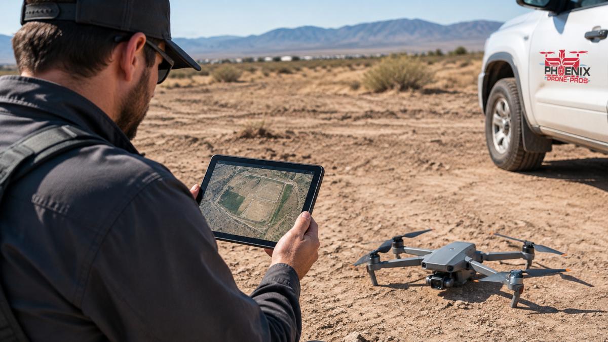
Open-source tools carry no license fee but demand setup time, hardware and community-based support. Freemium tools are easier to start with but can restrict project size, export formats or processing speed.
WebODM for Open-Source Processing
WebODM is an open-source drone mapping platform that turns drone imagery into mapping outputs.
It suits teams with capable local hardware and some technical comfort, so expect to spend time on installation and tuning. Confirm system requirements and support channels before committing a project to it.
SkyeBrowse Freemium and Free-Tier Limits
SkyeBrowse offers a freemium entry point, so it can be used to evaluate a workflow without upfront commitment.
Check where the free tier stops, processing limits, export options and project caps, before you build a process around it. Review the vendor's current paid-plan terms directly.
Drone Mapping Software Cost: What You Actually Pay
Most comparisons stop at the subscription line, but that number rarely decides whether a platform is affordable. Total cost of ownership (TCO) is the license or per-project fee plus everything the tool quietly demands: processing hardware, storage, staff hours, training, support, and the cost of a failed job that forces a re-fly or re-process.
A low monthly price can lose to a higher one once those lines are added. To see what a professional service charges for comparison, check how much drone photography costs.
The cost lines that actually move the total
- License or usage fee: Seat-based subscriptions, per-project fees, per-acre or per-hectare processing charges, and open-source tools at no license cost. Normalize to a monthly or per-project figure for a like-for-like comparison.
- Processing hardware: Local photogrammetry is compute-bound. A capable workstation with a modern multi-core CPU, adequate RAM and a discrete GPU is a capital cost that a cloud platform folds into its subscription. If you already own the hardware, local processing looks cheap; if not, the hardware line can exceed a year of subscription fees.
- Storage and transfer: Raw image sets from a single mapping flight commonly run into the tens of gigabytes, and archives grow with every project. Cloud plans bundle storage up to a cap and then charge overages; local processing shifts that cost to drives and backup.
Three practical cost scenarios
Use these patterns to sanity-check a quote against your own volume. The figures are illustrative structures, not vendor prices; confirm current rates directly with each provider.
- Occasional user (roughly one to four projects per year). A free or freemium tool, or a per-project cloud charge, usually wins. Hardware purchases are hard to justify at this volume, so cloud processing or a managed service is often the lowest total cost even when the sticker price per project looks high.
- Small team (roughly one to four projects per month). A seat-based subscription or a desktop license plus an owned workstation tends to break even against per-project fees. Staff time decides it: if processing eats a day per project, the subscription that cuts it to an afternoon pays for itself.
- High-volume operation (weekly or multi-site programs). Per-project fees scale linearly and become the dominant cost. At this volume, owned hardware plus an open-source or perpetual-license desktop tool, or a negotiated enterprise plan, usually produces the lowest cost per deliverable. The trade-off shifts to maintenance and IT support.
How to build your own TCO comparison
- Count the projects you expect in the next twelve months and the average image count per project.
- Price the license or per-project fee at that volume, not at the entry tier.
- Add hardware you would need to buy or upgrade, amortized over three years.
- Add storage at your archive size, including backup.
- Multiply processing and cleanup hours by a loaded labor rate.
- Add training time for the first quarter and any support contract.
- Add a rework allowance, typically a percentage of projects, for failed runs or re-flights.
Watch out: teams routinely omit the labor and hardware lines, then discover after two quarters that the "cheap" tool costs more per deliverable than the subscription they were trying to avoid. Run the comparison at your real volume before you commit.
DroneDeploy Alternatives Compared Side by Side
DroneDeploy is one of the best-known platforms, so many buyers look for alternatives to it specifically. The main options in the supplied research are Pix4Dmapper, Agisoft Metashape and WebODM. Each serves a different kind of team.
| Tool | Pricing Model | Best For | Free Tier |
|---|---|---|---|
| WebODM | Open-source | Teams with local hardware and technical skills | Yes |
| SkyeBrowse | Freemium | Testing a free-entry workflow | Yes, with limits |
| Pix4Dmapper | Not verified | Established desktop mapping workflows | No |
| Agisoft Metashape | Not verified | Desktop-oriented processing | No |
Get current pricing directly from each provider before comparing budgets.
Alternatives to Expensive Drone Mapping Platforms for Android Users
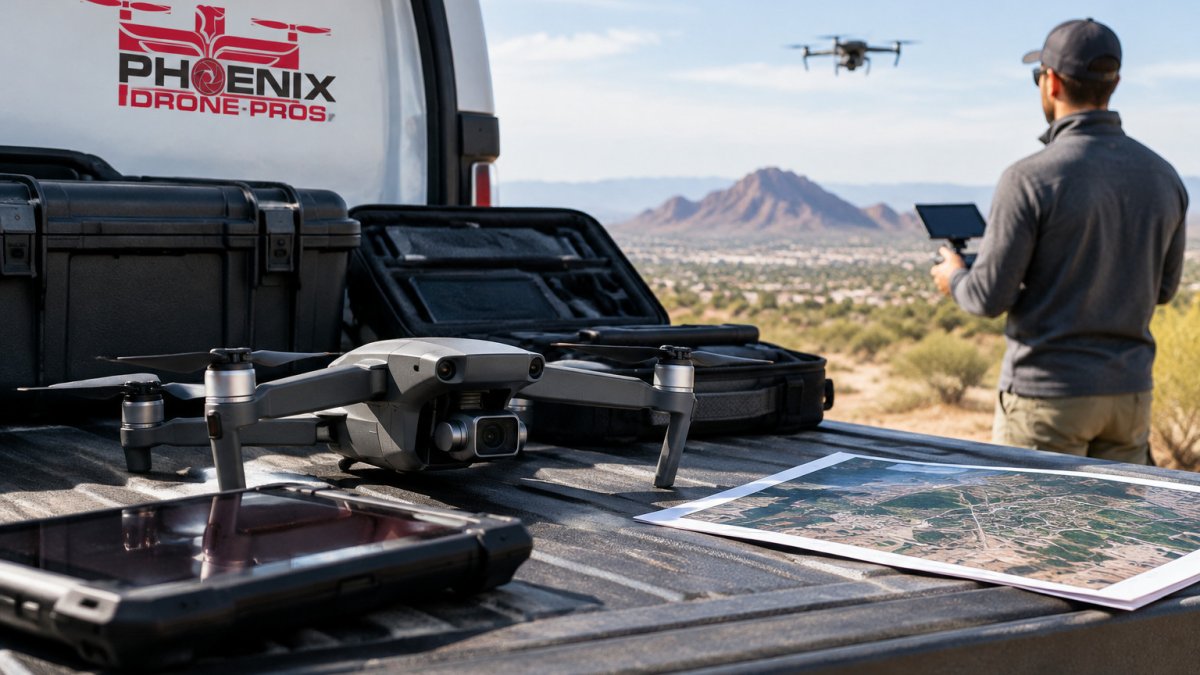
Mapping software is largely desktop-based, so Android users often need to plan around that. Field capture can run on a phone or tablet, but processing usually happens on a computer.
Many teams handle this split by flying with an Android-compatible controller and processing on a Windows or Mac workstation. Confirm compatibility with your specific drone and camera before you commit.
Decision Matrix: Matching Software to Your Workflow
A generic list of tools does not answer the question most buyers actually have: which platform fits the work I deliver? The matrix below maps common mapping workflows to the software tier that usually fits, the outputs that tier must produce, and the trade-offs to check before you commit. Treat it as a starting filter, then test the leading candidate on one real project.
Start with the deliverable, not the tool
Before comparing platforms, write down what the client or internal team actually needs. The output requirement drives the software tier more than any feature list.
- 2D orthomosaic only: The lowest bar. Most free and freemium tools can produce a georeferenced orthomosaic from a standard overlap flight. Accuracy depends more on ground control and flight planning than on the software brand.
- Digital surface model and contours: Requires dense point-cloud generation and surface interpolation. Free tools can do this, but the processing settings and ground-control workflow matter more, and the learning curve is steeper.
- Volumetric calculations (stockpiles, cut-and-fill): Requires a georeferenced surface with known accuracy. The software must support ground control points or RTK/PPK geotags and export surfaces in a format your estimating team can use. This is where free tools start to show limits in workflow and auditability.
- Progress tracking over time: Requires repeatable flight planning, consistent processing settings, and a way to compare epochs. Platform features for project timelines and change detection matter here more than raw reconstruction quality.
The decision matrix
| Workflow | Likely software tier | Must-have outputs | Watch for |
|---|---|---|---|
| Occasional 2D site map, tight budget | Free or freemium cloud tool | Georeferenced orthomosaic, basic exports | Project size caps, export restrictions, processing queues |
| Recurring progress documentation | Paid cloud platform or managed service | Orthomosaic, DSM, epoch comparison | Per-project fees at volume, storage overages, data retention terms |
| Stockpile and volume reporting | Desktop photogrammetry with ground control, or a platform with validated volume tools | Point cloud, DSM, volume reports, CAD/GIS export | Accuracy claims without validation, ground control workflow |
| Survey-grade topographic deliverables | Desktop photogrammetry with RTK/PPK or ground control, plus documented accuracy | Dense point cloud, DTM/DSM, orthomosaic, georeferenced exports | Whether accuracy is vendor-claimed or independently validated |
| Multi-site program with in-house team | Owned workstation plus desktop license or open-source stack | Full output set, batch processing, archive | Hardware cost, IT maintenance, staff training time |
| No in-house pilot or processor | Managed service | Contracted deliverables on a schedule | Turnaround time, scheduling, per-project pricing |
Accuracy and validation: the question the matrix cannot answer alone
Two platforms can produce the same output type at very different accuracy. The variables that matter most are ground control (or RTK/PPK geotagging), camera quality and calibration, flight overlap and altitude, and processing settings. Vendor accuracy claims should be read as best-case conditions.
A practical validation step: process one project with known ground control points in two candidate tools and compare residuals at the checkpoints. That single test tells you more about real-world accuracy than any spec sheet.
Data privacy, offline processing, and lock-in
Where your imagery is processed and stored is a workflow decision, not just a security one. Cloud platforms simplify collaboration but put project data on a vendor's servers, subject to that vendor's retention and access policies. Local and open-source tools keep data on your hardware but shift backup and access control to you. Before committing, confirm where processing happens, how long data is retained, who can access it, and what export formats are available.
Interoperability and migration
Plan for the possibility that you will change tools. Check that the platform exports orthomosaics as GeoTIFF, point clouds as LAS or LAZ, and surfaces in formats your GIS or CAD software can open.
Watch out: choosing a tool because it is free, then discovering it cannot export a format your client's GIS team accepts, turns a software decision into a rework project.
Booking Your Project With Phoenix Drone Pros Instead of Building In-House
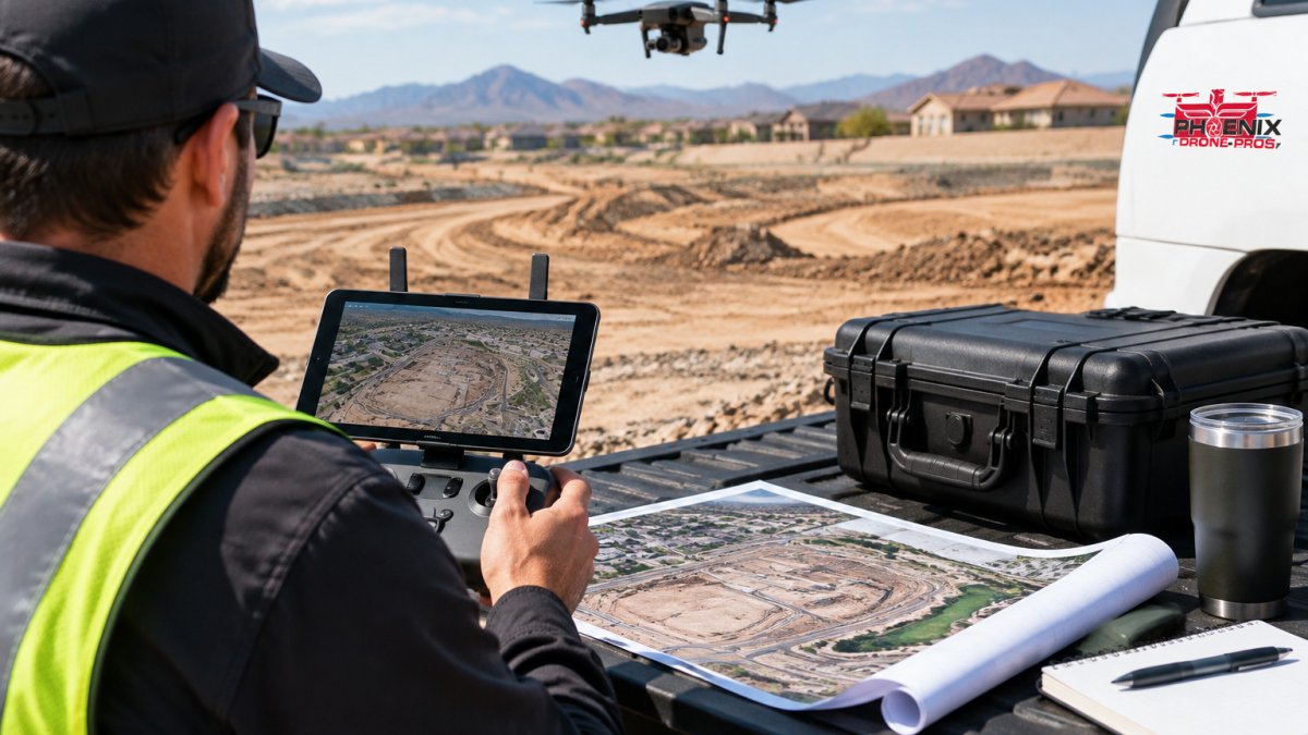
Building in-house mapping capability means buying software, training staff, maintaining hardware and handling processing, a real commitment for a team that flies only occasionally. For many projects, outsourcing the flight and processing is the simpler route.
Phoenix Drone Pros provides aerial site documentation, including 3D mapping and progress tracking. Pricing depends on project size, scope and delivery timing, so request a quote for current pricing.
If you want to understand what a managed service delivers before you book, our orthomosaic drone mapping services explained guide shows the outputs in detail. You can also compare the wider range of options in our seven alternatives to hiring an in-house drone pilot article.
Frequently Asked Questions
What is the best mapping software for drones?
The best choice depends on your project volume, required accuracy, and whether you need cloud collaboration. Open-source tools such as WebODM suit users who can manage local processing, while paid platforms generally offer more support and easier workflows. Compare pricing models, export formats, and processing time before committing, and test a free tier on a small project first.
Can free drone mapping software create accurate orthomosaics?
Free tools can produce usable orthomosaics and 3D models for many projects, but results depend heavily on image overlap, flight planning, and ground control points. Accuracy validation is important: check your outputs against surveyed reference points before using them for measurement or construction decisions. Free tools also usually provide limited support, so plan for more troubleshooting time.
How much does drone mapping software cost?
Costs vary widely. Some tools offer free or open-source versions, while commercial platforms often charge subscription fees or per-project pricing. Total cost of ownership should include hardware requirements, processing time, training, and support. Phoenix Drone Pros does not publish fixed rates for this topic, so pricing depends on project scope, quantity, and delivery timing; contact us for a current quote.