 comparison
Drone vs Manned Aircraft for Pipeline Inspection
Quick Summary
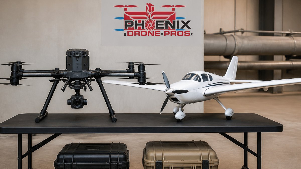
Drone inspection is generally cheaper than manned aircraft for pipeline inspection, with estimates of about $200-$300 per mile for drones versus more than $1,200 per mile for helicopters. Drones suit short to medium corridors with frequent checks, while manned aircraft or hybrid VTOL platforms remain stronger for very long routes, and BVLOS approvals decide which fits.
- Drone pipeline inspections are estimated at roughly 50-70% cheaper than manned aircraft patrols.
- Public estimates put drone inspections at about $200 to $300 per mile versus more than $1,200 for helicopters.
- Operating costs can drop 30-40% through reduced equipment and manpower needs.
- Standard multirotor drones struggle on very long corridors because of short flight times and limited range.
- PHMSA and FAA approvals are separate, so a PHMSA rule alone does not authorize BVLOS drone flights.
Table of Contents
- Drone vs Manned Aircraft Cost Per Mile for Pipeline Inspection
- Quick Comparison: Drones and Manned Aircraft at a Glance
- Range, Endurance, and BVLOS Limits on Long Pipeline Routes
- Benefits of Drone Pipeline Inspection for Field Crews and Operators
- Data Quality, Sensors, and AI Analytics in Pipeline Surveys
- Which Option Fits Your Pipeline Corridor and Budget
- Scheduling a Pipeline Inspection Assessment With Phoenix Drone Pros
- Frequently Asked Questions
Drone vs Manned Aircraft Cost Per Mile for Pipeline Inspection
Last Updated: November 3, 2026
Pipeline operators are rethinking how they patrol their right-of-way. Industry estimates put drone inspections at roughly 50-70% cheaper than manned aircraft patrols (Averroes drone pipeline inspection cost comparison).
The gap starts with the price of covering ground. Public pricing estimates place drone inspections at about $200 to $300 per mile, compared with more than $1,200 per mile for helicopters (Advexure pipeline inspection cost analysis). To see what a drone thermal inspection costs from this provider, check our drone thermal roof inspection pricing.
Typical per-mile pricing for drones and helicopters
A helicopter's hourly cost is high, and its per-mile cost climbs once you account for fuel, crew, insurance and ferry time. A drone's per-mile cost falls as the corridor gets longer, because setup is spread across more distance. Short, stop-and-go surveys tilt the math toward drones even faster.
Pricing for drone services depends on quantity, dates and delivery, so request a written quote for your corridor.
Where the savings come from: equipment, crew, and downtime
Most of the savings come from three places. First, equipment: a drone needs no aircraft lease and far less fuel per mile. Second, crew: a drone can be flown by a small team rather than a pilot plus observers. Third, downtime: a drone can be launched quickly, which shortens the window in which a line is unmonitored.
Operating costs can drop by 30-40% through reduced equipment and manpower needs (Birdseye Aerial Drones oil and gas inspection analysis). These operational gains reflect a broader shift toward integrating sophisticated drone inspection technology into standard maintenance workflows to ensure long-term infrastructure integrity.
Quick Comparison: Drones and Manned Aircraft at a Glance
Here is how the two approaches compare on the factors that matter most to pipeline operators.
| Factor | Drone Inspection | Manned Aircraft |
|---|---|---|
| Cost per mile | About $200-$300 | More than $1,200 |
| Crew needed | Small team | Pilot plus observers |
| Mobilization | Fast launch | Longer scheduling lead time |
| Personnel exposure | Lower field exposure | Higher airborne exposure |
| Long-route coverage | Limited by range and approvals | Strong over long distances |
| Best fit | Short to medium corridors, frequent checks | Very long routes, wide regions |
Best for drones: Operators with recurring checks on defined corridors. Best for manned aircraft: Operators covering very large regions in a single mission.
Range, Endurance, and BVLOS Limits on Long Pipeline Routes
Range is where the comparison gets complicated. A drone that is cheap per mile still has to cover those miles, and that requires either many flights or an aircraft built for distance. Manned aircraft still hold a clear advantage on very long, remote routes. A 500 km corridor is a different problem from a 20 km segment, and the logistics change with it. The distinction matters when you plan a patrol schedule.
Why multirotor drones struggle on 500-km corridors
Standard multirotor drones have short flight times and limited range. Battery capacity caps how far one aircraft can go before it must return or land. On a 500 km corridor, that means many launch sites, many crew moves and repeated setup, which erodes the cost advantage quickly. Visual line of sight rules add another constraint. Under Part 107, an operator generally must keep the aircraft in sight without vision aids, which limits how far from the pilot a flight can reach.
Hybrid VTOL aircraft and the endurance math
Hybrid VTOL designs are narrowing the gap. Dronehub describes its S-2 as offering up to 7 hours of endurance and up to 700 km of range, aimed at long right-of-way patrols (Dronehub oil and gas drone inspection overview). Those are manufacturer capability claims, and they should be verified against your own operating conditions. The practical takeaway is that a single VTOL sortie can cover a corridor that would take a multirotor a dozen launches, but only if the flight is legally authorized end to end.
The BVLOS regulatory roadmap most guides skip
- Part 107 operations with a Certificate of Waiver (COA). The FAA can waive the visual line of sight requirement under Part 107.107 for specific operations. Waivers are typically site- and aircraft-specific, so a waiver for one corridor does not automatically transfer to another.
- Part 107.31 and 107.33 provisions. These cover visual observers and extended visual line of sight using multiple observers in communication with the pilot. This is often the fastest path for medium corridors where a chain of observers can be staged along the route.
- Section 44807 exemptions. For larger aircraft or operations outside Part 107 limits, operators can petition for an exemption under Section 44807 of the FAA Reauthorization Act. These exemptions are public and often include conditions on altitude, airspace and crew training.
- The FAA's BVLOS rulemaking. The FAA has been developing a performance-based BVLOS rule, and operators should track its status because it will change what waivers are needed. Until it is final, waivers and exemptions remain the practical route.
- PHMSA's remote sensing rule. The Pipeline and Hazardous Materials Safety Administration issued a direct final rule that allows unmanned aircraft and satellite surveillance to satisfy right-of-way patrol requirements (PHMSA direct final rule on remote sensing for right-of-way patrols). That rule addresses the pipeline-safety side, not the airspace side, you still need FAA authorization to fly BVLOS.
A common pattern is to sequence approvals, starting with lower-risk operations and building flight experience before pursuing longer-range authorizations for the full corridor. That sequencing lets you realize drone savings on part of the route while the longer approval works through.
Watch out: A PHMSA-compliant patrol plan and an FAA-compliant flight plan are two separate approvals. Operators who assume the PHMSA rule alone authorizes BVLOS flights can find their program grounded mid-season.
Benefits of Drone Pipeline Inspection for Field Crews and Operators
Pipeline patrols often mean crews walking or driving rough terrain, working near machinery or at height. Reducing that exposure matters for both people and schedules.
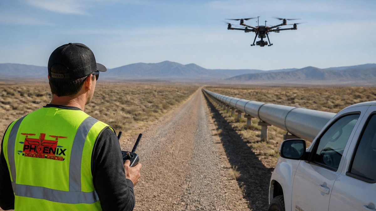
A drone can reduce field exposure for personnel by about 80% in pipeline maintenance work (Birdseye Aerial Drones safety metrics for pipeline maintenance). Acecore Technologies makes the same point, noting that drones can reduce the need for personnel to walk inspection corridors and cut exposure to work-at-height hazards (Acecore Technologies drones for pipeline inspection).
Operators also gain from faster, more regular data. Instead of one large survey each season, you can run shorter checks more often. That is the shift CamIn describes, moving from a reactive, resource-intensive model to a more proactive one (CamIn drone-based pipeline monitoring case study).
Watch out: A drone program is only as good as its approvals and pilot training. Before you swap out a manned patrol, confirm your operating authority and your crew's qualifications.
Data Quality, Sensors, and AI Analytics in Pipeline Surveys
Drone data is only useful if it is accurate and easy to act on. Sensor choice shapes what you can see. Visual cameras catch surface damage and encroachment, while thermal sensors can help identify temperature anomalies that may point to leak activity. To see what a drone inspection typically reveals, read what a drone inspection shows. Both are worth comparing with the approach you use today, and a short explainer on thermal imaging versus visual inspection can help you weigh the options.
What each sensor actually detects
- RGB photogrammetry resolves surface corrosion, coating damage, encroachment and right-of-way vegetation issues at centimeter-level ground sample distance when flown low and slow.
- Thermal (LWIR) imaging surfaces temperature differentials. A small liquid release often shows as a cool plume against warm soil, and gas releases can show as a cold spot from expansion. Thermal is a screening tool, not a confirmation tool.
- Methane and VOC sniffers mounted on drones can detect and, with the right payload, quantify gas plumes. These are increasingly used on gathering lines and compressor stations.
- LiDAR is used for terrain, encroachment and clearance modeling rather than leak detection.
How AI analytics change the after-the-flight workflow
Raw imagery from a long corridor is a lot of data. A 100-mile survey can produce tens of thousands of frames, and human review of every frame is where manned inspection programs lose time. Machine learning changes that in three concrete ways:
- Anomaly triage. Computer-vision models trained on pipeline imagery flag frames with corrosion, encroachment, exposed pipe or thermal anomalies, so engineers review the highest-priority frames first instead of scrolling chronologically.
- Change detection. By comparing a new survey to the previous one, models can highlight what changed, new construction near the right-of-way, vegetation growth, soil movement, which is hard to do reliably by eye across seasons.
- Leak screening. Thermal and gas-plume models can rank segments by likelihood of a release, which lets crews dispatch ground teams to the right mile marker rather than patrolling the whole corridor.
Integrating drone data with maintenance workflows
The analytics only pay off if the output lands in the system your maintenance team already uses. A common pattern is to push flagged anomalies into a GIS or asset-management platform as work orders, tagged by mile marker and asset ID, so the inspection becomes a maintenance trigger rather than a separate report.
Cybersecurity of drone survey data
Cybersecurity is a question many operators overlook. Survey data can reveal critical infrastructure locations, so treat storage, transfer and access controls as part of the inspection scope, not an afterthought. Practical controls include encrypting data at rest and in transit, restricting access by role, and confirming that any cloud analytics vendor meets your organization's security requirements before imagery leaves the aircraft.
Which Option Fits Your Pipeline Corridor and Budget
The right choice depends on three questions: how long is the corridor, how often do you need data, and what approvals do you hold?
- Short to medium corridors with frequent checks: Drones usually win on cost and speed.
- Very long routes covered in one mission: Manned aircraft or a hybrid VTOL platform may be the better fit, provided your approvals allow it.
- Mixed portfolios: Many operators use drones for routine patrols and keep manned aircraft for periodic wide-area surveys.
To estimate your own numbers, start with your corridor miles, your current per-mile cost and your required inspection frequency. Then add mobilization and data-processing costs, which are often underestimated.
Scheduling a Pipeline Inspection Assessment With Phoenix Drone Pros
If you want to compare drone and manned options for your own corridor, we can help you build the numbers. At Phoenix Drone Pros, we review your route length, terrain, inspection frequency and approvals before recommending an approach. Contact our team to request an assessment and a written quote tailored to your pipeline.
Frequently Asked Questions
How do drone inspection costs compare to manned aircraft for pipeline monitoring?
Actual pricing depends on corridor length, terrain, sensor payload, and data delivery requirements, so request a site-specific quote from Phoenix Drone Pros for an accurate figure.
Can drones replace manned aircraft for long-range pipeline surveillance?
For short and medium segments, drones can handle most visual and thermal inspection tasks. For very long stretches, standard multirotor drones face battery and range limits, so many operators combine drones with periodic manned patrols.
What are the FAA regulations for pipeline inspection drones?
Pipeline drone operations in the United States are subject to FAA rules for unmanned aircraft, and beyond visual line of sight operations generally require additional approvals. Operators should confirm with the relevant federal agencies which waivers or approvals apply to their specific corridor before flying.
What are the primary safety benefits of using drones over manned aircraft?
Drone use can reduce field exposure for personnel, since crews no longer need to walk corridors or work near hazards. Manned patrols carry the risks of low-level flight, while drones keep pilots on the ground. Phoenix Drone Pros applies this same approach to inspections of rooftops and hard-to-reach structures, where working at height is a common hazard.