 how-to
Drone Roof Inspection Safety Protocols: 2026 Guide
Table of Contents
- Why Drone Roof Inspection Safety Protocols Matter
- FAA Part 107 Requirements for Roof Inspections
- Drone Pre-Flight Checklist for Building Inspections
- Drone Inspection Risk Assessment Template
- Conducting the Drone Roof Inspection: Flight Path and Data Capture
- How Long Does a Drone Roof Inspection Take
- Data Privacy, Homeowner Rights, and Post-Processing Safety
- Conclusion
Last Updated: August 17, 2026
Why Drone Roof Inspection Safety Protocols Matter
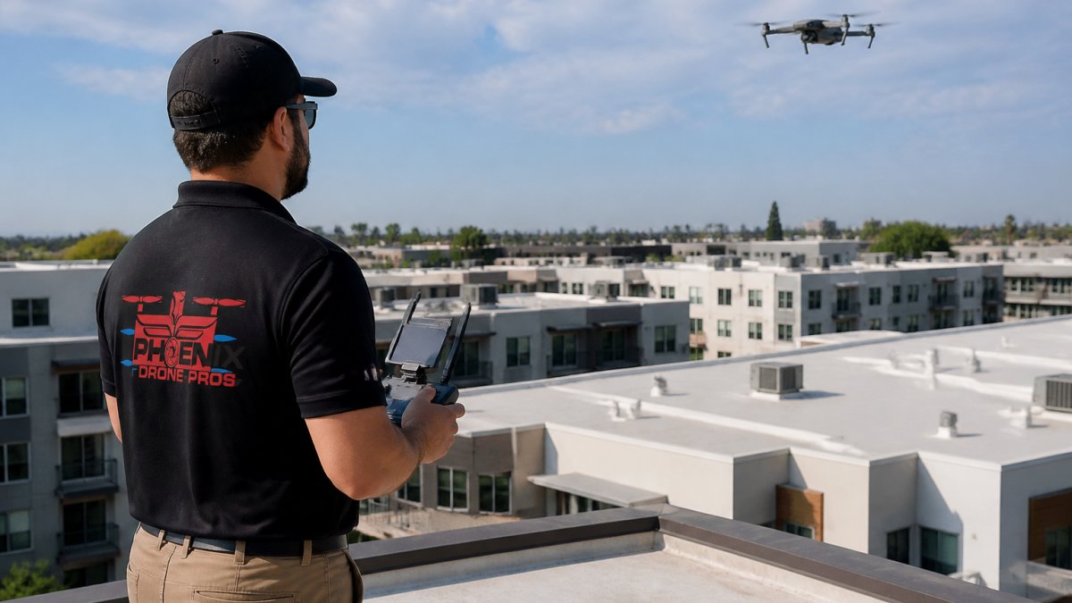
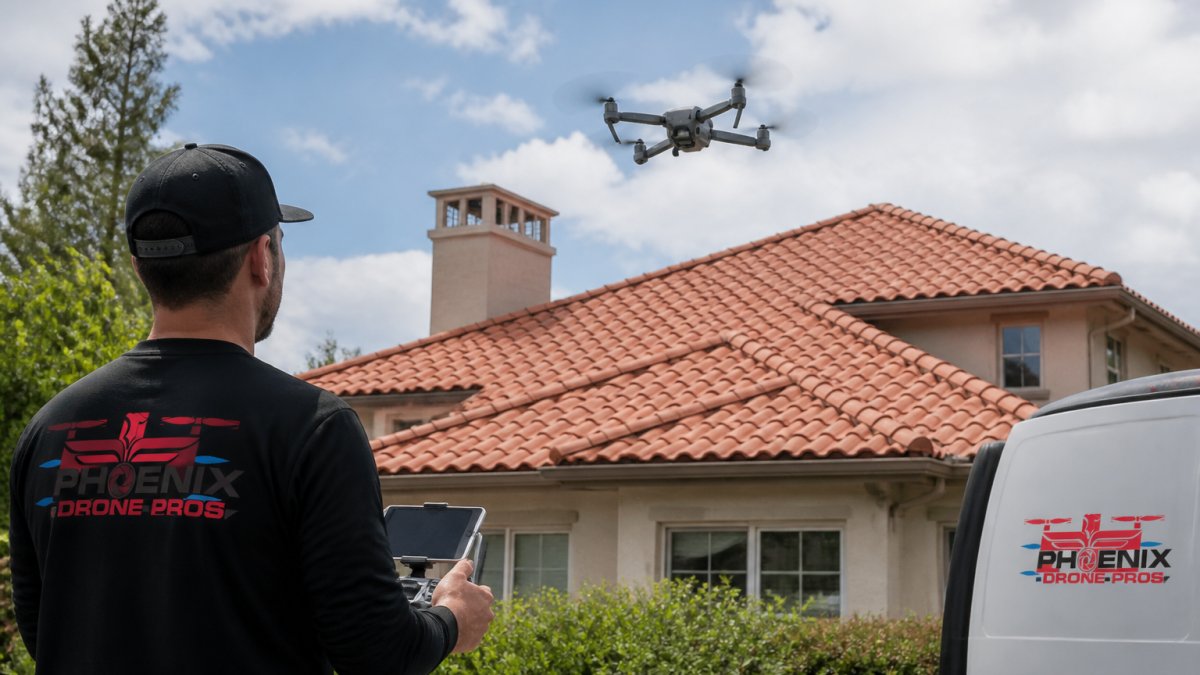
Drone roof inspection deploys unmanned aerial vehicles to assess roof condition without requiring technicians to access the structure physically. For steep-pitch residential roofs, fragile tile surfaces, and multi-story commercial buildings, this approach eliminates fall risk while delivering high-resolution imagery that rivals ladder-based inspections.
Roof-related falls remain a leading cause of fatal occupational injuries, according to the Bureau of Labor Statistics occupational fatality data. But drones introduce separate risks: airspace violations, signal interference, flyaways, and data breaches. A structured safety protocol is the foundation of every professional drone roof inspection.
At Phoenix Drone Pros, our FAA-certified team has conducted roof inspections across residential and commercial properties. The protocols below reflect what actually works in the field.
FAA Part 107 Requirements for Roof Inspections
Any pilot being paid to conduct a roof inspection must hold a valid Remote Pilot Certificate under FAA Part 107. Flying without one exposes the client, property owner, and pilot to federal enforcement action.
The remote pilot in command bears full responsibility for safe flight operations. Key limits include a maximum altitude of 400 feet above ground level, daylight-only operations (or civil twilight with anti-collision lighting), and a requirement to yield right-of-way to manned aircraft. The primary complication arises when the property sits inside controlled airspace.
LAANC Authorization and Airspace Compliance
LAANC authorization, the Low Altitude Authorization and Notification Capability system, is the FAA's near-real-time approval mechanism for drone flights in controlled airspace. Properties near airports, heliports, or military facilities require LAANC approval before any drone roof inspection can legally begin.
Pilots submit requests through an FAA-approved LAANC provider, and approvals are typically granted within seconds for pre-approved grid altitudes. The FAA's official LAANC program overview lists all approved UAS Service Suppliers. If the requested altitude exceeds pre-approved ceilings, a manual waiver through the FAA DrONE Zone portal is required, which can take days or weeks.
Geofencing built into modern drones alerts pilots to restricted zones, but it is a warning system, not a legal substitute for proper authorization. Always verify airspace compliance independently.
Insurance and Liability Requirements
A drone roof inspection without adequate liability coverage creates significant risk. Professional operators should carry hull insurance covering the drone and payload, plus general liability coverage protecting the property owner if the aircraft causes damage during flight.
Clients should request proof of insurance before any flight begins. Verify that the policy covers the specific operation type (inspection) and that coverage limits are appropriate for property value. Phoenix Drone Pros carries full commercial liability insurance on every job, a baseline expectation any reputable operator should meet.
Drone Pre-Flight Checklist for Building Inspections
A drone pre-flight checklist is the single most effective risk-reduction tool available to a pilot. Skipping it, even on familiar sites with familiar equipment, is where accidents begin.
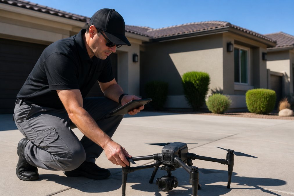
Hardware Checks: Battery, Propellers, and Signal
Battery management is the most overlooked pre-flight element. Before every inspection, confirm:
- All flight batteries are fully charged and within their rated cycle count
- Battery terminals are clean and free of corrosion or swelling
- Propellers are free of cracks, chips, or stress fractures
- Propeller guards are seated correctly if the inspection involves close-proximity flight
- Remote controller and drone firmware are current
- GPS signal lock is confirmed with a minimum of 8 satellites before takeoff
- Ground control station shows no warning flags for compass calibration or IMU drift
Signal interference near commercial buildings with heavy HVAC equipment, metal roofing, or cellular infrastructure is a genuine hazard. If telemetry data shows erratic signal strength during pre-flight checks, abort and relocate the launch point.
Weather and Wind Speed Assessment
While Part 107 does not explicitly cap wind speed, the remote pilot in command must exercise judgment. Most commercial drones are rated for sustained winds up to 22-27 mph. In practice, anything above 15 mph sustained introduces meaningful flight instability for inspection work, and high-resolution imagery becomes difficult to capture cleanly.
Check the hyperlocal forecast, not just regional weather. Wind conditions at rooftop level can differ significantly from ground-level readings, particularly in urban environments. Morning inspection windows are generally more reliable than afternoon flights, when thermal activity increases wind variability.
| Pre-Flight Factor | Acceptable Threshold | Action if Exceeded |
|---|---|---|
| Wind speed | Under 15 mph sustained | Reschedule |
| Battery charge | Above 90% per cell | Swap or recharge |
| GPS satellites | 8 or more locked | Relocate launch point |
| Propeller condition | No visible damage | Replace propellers |
| Airspace authorization | LAANC approved | Obtain approval before flight |
| Firmware version | Current on all systems | Update before flight |
Drone Inspection Risk Assessment Template
A risk assessment identifies what can go wrong before the aircraft leaves the ground. Every drone roof inspection site presents unique hazards, and a generic checklist will miss site-specific risks.
On-Site Hazard Identification Steps
Complete the following before any inspection flight:
- Perimeter walk: Identify overhead power lines, communication cables, antenna masts, and tree canopy that could intersect the flight path
- Bystander control zones: Establish a ground exclusion zone appropriate to aircraft size and flight altitude, typically a minimum 25-foot radius for residential inspections
- Surface hazards: Note gravel, uneven pavement, or pooled water near the launch area that could affect takeoff stability
- Structural assessment: Visually assess the roof from ground level before flight, noting visible damage or standing equipment that could affect the flight path
- Neighbor and bystander notification: Inform adjacent property occupants when practical
Hazard identification is continuous. Conditions change during flight, a vehicle parks in the exclusion zone, wind picks up, a bystander approaches. The remote pilot in command must continuously reassess throughout the operation.
Emergency Landing Procedures and Contingency Planning
Identify at least two pre-approved emergency landing zones visible from the launch point before takeoff. These should be clear of people, vehicles, and structures, with enough flat surface area to accept an uncontrolled descent without secondary damage.
If the drone enters failsafe mode, triggered by signal loss, low battery, or GPS error, the default return-to-home behavior will attempt to fly back to the launch point at a pre-set altitude. Confirm that return-to-home altitude is set above the highest obstruction in the flight path before every flight.
For operations near controlled airspace, have the LAANC authorization reference number accessible. If a manned aircraft enters the area, the remote pilot in command must yield immediately, even if that means terminating the inspection.
Conducting the Drone Roof Inspection: Flight Path and Data Capture
Flight path planning separates competent drone roof inspections from amateur ones. The goal is systematic coverage of the entire roof surface with sufficient overlap between frames to enable accurate photogrammetry and orthomosaic mapping in post-processing.
A standard residential inspection follows a grid or crosshatch path at a consistent altitude above the roofline, typically 20 to 40 feet above the ridge. Overlap between adjacent passes should be at least 70% for photogrammetry and 80% for orthomosaic mapping.
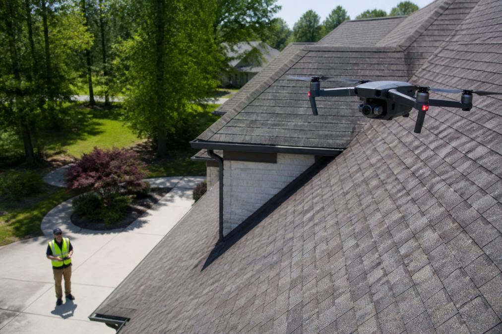
Thermal Imaging, Infrared Sensors, and 4K Video
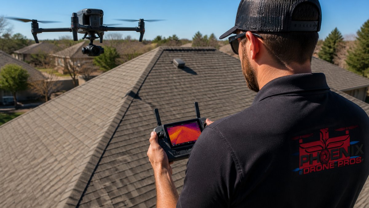
Thermal imaging and infrared sensors elevate a drone roof inspection from visual documentation to diagnostic assessment. Standard 4K video captures surface-level detail: cracked tiles, displaced flashing, storm damage, and granule loss. Thermal imaging reveals moisture intrusion, insulation voids, and heat loss patterns indicating structural integrity issues beneath the surface.
Leak detection is the most common thermal application. Water-saturated insulation retains heat differently than dry material, and a thermal camera shows that contrast clearly. The optimal time to fly a thermal inspection is late afternoon or early evening, after the roof surface has cooled, when the differential between wet and dry sections is most pronounced.
Metadata embedded in each image frame, GPS coordinates, altitude, gimbal angle, and timestamp, provides the property documentation layer that adjusters, engineers, and contractors rely on for accurate damage assessment.
Maintaining Visual Line of Sight and Ground Crew PPE
Visual line of sight is a non-negotiable Part 107 requirement. The remote pilot in command must see the aircraft with unaided eyes at all times. For large commercial properties where the roof extends beyond comfortable visual range, a visual observer is required.
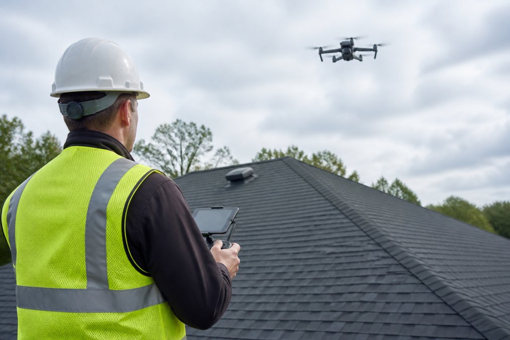
Ground crew PPE should include:
- High-visibility vest or jacket (ANSI Class 2 minimum)
- Hard hat if working near the building perimeter
- Safety glasses to protect against propeller debris
The ground crew manages bystander exclusion, communicates hazards to the pilot, and maintains awareness of aircraft position throughout the flight. According to the FAA's Remote Pilot Study Guide, the remote pilot in command retains full authority and responsibility for operation safety at all times.
How Long Does a Drone Roof Inspection Take
A drone roof inspection typically takes 30 to 90 minutes on site, depending on property size, roof complexity, and data capture scope.
A standard single-family residential inspection with 4K video and photogrammetry generally runs 30 to 45 minutes from setup to pack-down. Large commercial properties with multiple roof sections, HVAC equipment, and thermal imaging can extend to 90 minutes or more. Post-processing time, stitching orthomosaic maps, reviewing thermal data, and compiling reports, typically adds several hours off-site.
The pre-flight checklist and risk assessment add 15 to 20 minutes to every job. That time is not negotiable.
Data Privacy, Homeowner Rights, and Post-Processing Safety
A drone roof inspection generates more than roof images; it captures neighboring properties, vehicles, and potentially individuals within the camera's field of view. This creates ethical obligations and legal exposure.
Homeowners should understand what data is being collected, how it will be stored, and who has access to it. A professional operator should provide a clear data handling policy before the flight begins. Images and video should be stored on encrypted media, transferred via secure channels, and retained only for the period necessary to complete the inspection report.
The FAA's UAS privacy best practices guidance recommends that operators minimize data collection to what is operationally necessary and provide notice to property owners about the nature and purpose of the flight. Many states have enacted their own restrictions on aerial surveillance, so operators working across multiple jurisdictions should verify applicable state law before flying.
Post-processing safety extends to the data itself. Inspection reports containing high-resolution imagery and GPS metadata represent sensitive property documentation. Transmitting these files via unsecured email or storing them on unprotected cloud accounts creates liability for both operator and property owner.
A responsible operator will review post-processed imagery before delivering the final report. Photogrammetry software can introduce stitching errors, particularly on complex roof geometries with dormers, skylylights, or irregular pitches, that misrepresent actual surface condition. Every orthomosaic map should be cross-referenced against raw flight footage before the report is finalized.
Roof inspections are one of the highest-risk tasks in property maintenance, and that risk does not disappear just because the inspector stays on the ground. It shifts to airspace compliance, equipment reliability, and data integrity. Phoenix Drone Pros brings FAA certification, full commercial insurance, and extensive commercial drone experience to every inspection, with local pilots available. Visit our scheduling and pricing page to discuss your property's requirements and get a quote from our team.
Frequently Asked Questions
Do you need a license to fly a drone for roof inspections?
Yes. Any drone roof inspection conducted for commercial purposes requires the pilot to hold an FAA Part 107 Remote Pilot Certificate. This means passing the FAA Aeronautical Knowledge Test at an approved testing center. Flying without certification for commercial work violates federal law and can result in significant fines. Hobbyist certificates do not cover paid inspection work. Always confirm your provider holds a current Part 107 certificate before scheduling a drone roof inspection.
What pre-flight safety checks are required for drone roof inspections?
A complete drone pre-flight checklist for building inspections covers battery charge levels and condition, propeller integrity, signal strength between the drone and ground control station, GPS lock confirmation, airspace authorization via LAANC, and a local weather check for wind speed and precipitation. The remote pilot in command must also verify geofencing settings are active and confirm visual line of sight is achievable from the planned ground position before the drone ever leaves the ground.
How long does a drone roof inspection take?
Most residential drone roof inspections take between 30 and 60 minutes from setup to pack-down. Simple single-story homes with accessible airspace sit at the lower end. Larger commercial roofs, multi-building sites, or properties requiring thermal imaging and orthomosaic mapping can run 90 minutes or more. Post-processing of 4K video, high-resolution imagery, and telemetry data adds time before the final report is delivered, typically within 24 to 48 hours depending on scope.
How do weather conditions affect drone roof inspection safety?
Wind speed is the most critical weather variable. Most commercial drones have a maximum safe operating wind speed around 20 to 25 mph; exceeding this compromises flight stability and image quality. Rain or heavy moisture creates signal interference and risks hardware damage. Bright overcast days often produce the best conditions for high-resolution imagery by eliminating harsh shadows. A drone roof inspection should be rescheduled any time forecasted conditions fall outside the aircraft manufacturer's specified operating limits.
This article was written using GrandRanker