 comparison
Is Drone 3D Mapping Worth It for Small Construction Projects?
Last Updated: October 27, 2026
Quick Summary
Drone 3D mapping is worth it for a small construction project when the data gets used repeatedly, such as a multi-month build with weekly check-ins or an earthwork-heavy site where volume tracking pays for itself. For a single small pad or remodel, one survey rarely recoups the setup cost.
- Divide your total mapping spend by the number of progress captures you will realistically use.
- A licensed land survey establishes legal boundaries; drone mapping documents surface conditions, progress and volumes.
- Photogrammetry with solid ground control is the practical choice for most small progress jobs.
- Flying without ground control and trusting the volumes is the most common and expensive mistake on small sites.
- For most small teams, outsourcing beats buying an in-house pilot.
Table of Contents
- The Real Verdict: When Drone 3D Mapping Pays Off on a Small Site
- What Construction Drone Mapping Cost Actually Looks Like
- Drone Mapping vs Land Survey: Where Each One Wins
- Drone Mapping Construction Site Progress: Week-to-Week Tracking
- Drone Mapping Software for Construction: What You Actually Need
- Accuracy, Ground Control, and When Drone Mapping Is Not Worth It
- Schedule Your First Construction Mapping Flight
- Frequently Asked Questions
The Real Verdict: When Drone 3D Mapping Pays Off on a Small Site
Whether drone 3D mapping is worth it for a small construction project depends on the project's documentation needs.
Here's the part most cost guides skip. A drone survey runs a few thousand dollars for a small site, and much more for large-area work, according to The Future 3D's drone survey cost guide. That number means nothing until you divide it by the number of times you'll actually use the data.
So the real question isn't "is drone 3D mapping worth it." It's "how many times will this project need eyes in the sky?" Before deciding, review the construction drone mapping service offering. Below, we break down cost, break-even math, and the situations where you should skip it entirely.
Quick verdict:
| Project type | Drone 3D mapping worth it? | Why |
|---|---|---|
| Multi-month build, weekly check-ins | Yes | Cost spreads across many captures |
| Single small pad or remodel | Usually no | One survey rarely recoups setup |
| Earthwork-heavy site | Often yes | Volume tracking pays for itself |
| Tight urban infill lot | Depends | Access and ground control get expensive |
What Construction Drone Mapping Cost Actually Looks Like
Construction drone mapping cost depends on site size, deliverable type, and how often you fly. Small site surveys sit at the low end of the market; large-area LiDAR mapping climbs steeply. Most commercial work lands somewhere between, per The Future 3D's pricing breakdown.
Three cost buckets matter:
- Capture: pilot time, flight planning, and travel to the site
- Processing: turning overlapping images into an orthomosaic and 3D model
- Deliverables: point clouds, topographic maps, or volume reports
A flat lot with clear boundaries is a different job than a sloped site crowded with equipment.
The Break-Even Math for a Small Project
Run this simple test before you commit. Add your total mapping spend, then divide by the number of progress captures you'll realistically use.
Drone Mapping vs Land Survey: Where Each One Wins
Drone mapping vs land survey comes down to purpose. A licensed land survey establishes legal boundaries and property lines. Drone mapping documents surface conditions, progress, and volumes across a site.
For boundary work, permits, or legal disputes, you need a licensed surveyor. No drone deliverable replaces that.
For tracking how a site changes week to week, drone capture is faster and gives you a visual record a survey report never will. Propeller Aero's construction guidance describes drone data as faster and more reliable than traditional methods for this kind of monitoring.
Drone Mapping Construction Site Progress: Week-to-Week Tracking
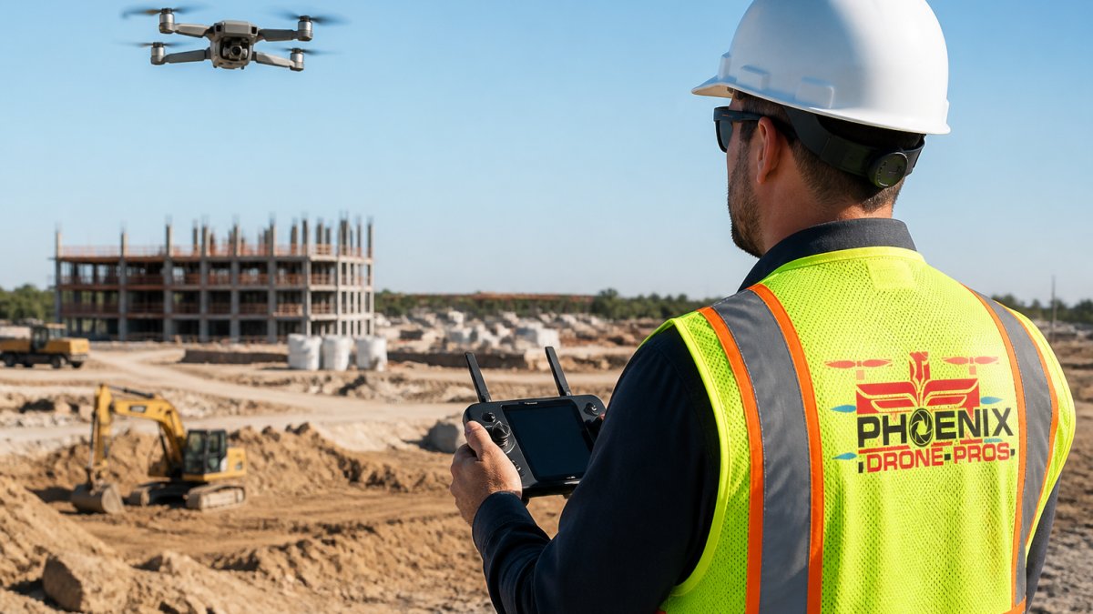
Drone mapping can document construction site progress through repeated captures.
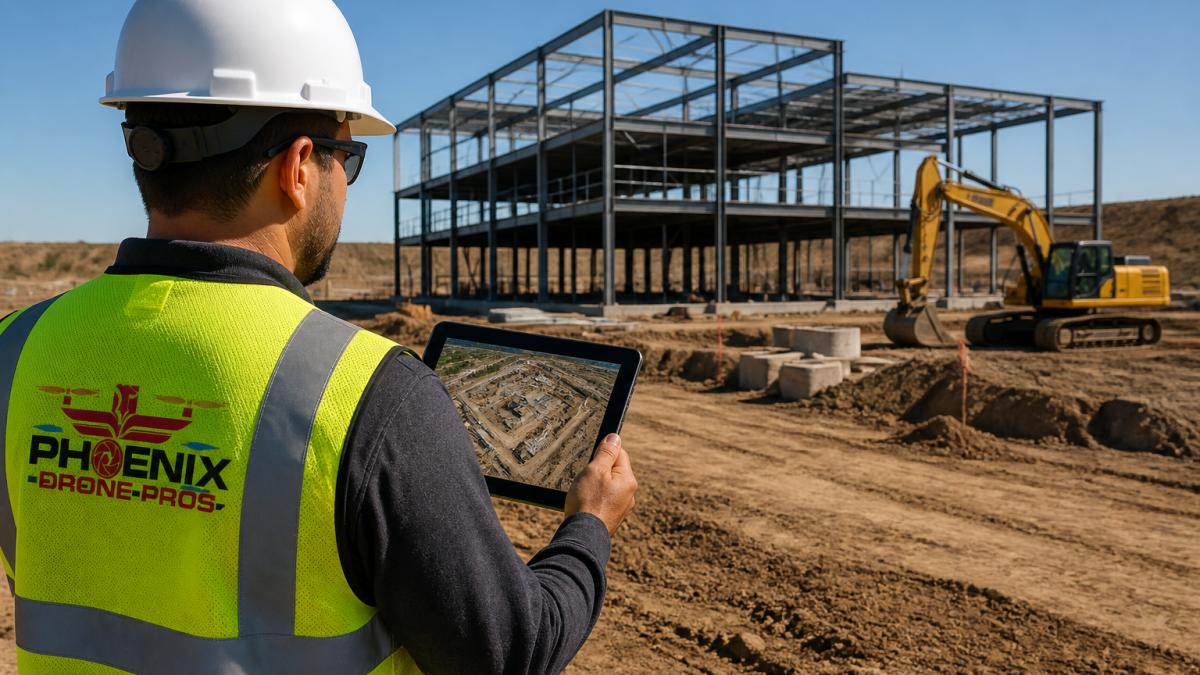
How often should you fly? That depends on project pace. See our guidance on how often to photograph construction progress.
Drone Mapping Software for Construction: What You Actually Need
The bigger decision is LiDAR versus photogrammetry. Photogrammetry builds models from overlapping images and handles most progress-tracking jobs well. LiDAR captures direct measurements and shines on vegetation-heavy or low-light sites. Our LiDAR vs photogrammetry breakdown walks through the trade-offs.
Accuracy, Ground Control, and When Drone Mapping Is Not Worth It
Drone 3D mapping is not a substitute for legal boundary work.
That is the short version. Here is the decision framework most guides leave out.
What accuracy you can actually expect
LiDAR payloads change the picture on vegetation-heavy or low-light sites, but they cost more and still need control for absolute accuracy. For most small construction progress jobs, photogrammetry with solid ground control is the practical choice.
Ground control points versus checkpoints
Flying without ground control and then trusting the volumes is the most common and most expensive mistake we see on small sites. A model that looks right can still be meters off in absolute terms.
When drone mapping is not worth it
If you're weighing an in-house pilot, read the risks of an in-house drone pilot first. For most small teams, outsourcing beats buying, and outsourcing also shifts the ground-control burden to a provider who does it every week.
Schedule Your First Construction Mapping Flight
Whether drone 3D mapping is suitable depends on your project's documentation needs.
Phoenix Drone Pros brings FAA certification, full insurance, and more than a decade of commercial drone experience to every flight. Our team provides detailed aerial views and construction progress documentation.
Frequently Asked Questions
Is drone 3D mapping worth it for a small construction project?
Whether drone 3D mapping is suitable depends on your project's documentation needs.
How much does construction drone mapping cost for a small site?
Pricing depends on project scope. Contact Phoenix Drone Pros for current pricing or a quote.
How accurate is drone mapping compared with a land survey?
The verified information does not establish a specific accuracy figure for drone mapping. Phoenix Drone Pros provides construction progress documentation.
How often should a small construction site be mapped?
The appropriate mapping schedule depends on your project's documentation needs.
Do I need a licensed surveyor to create a construction site map?
Phoenix Drone Pros provides construction progress documentation. For questions about surveyor requirements, consult the relevant official source.
Ready to stop guessing about site progress? Get started with Phoenix Drone Pros and turn your next build into a documented, week-by-week record you can actually use.