 how-to
Professional Drone Video for Property Listings: A 2026 Guide
Last Updated: October 23, 2026
Quick Summary
Professional drone video for property listings shows the full scope of a property, its neighborhood relationship, and details that justify the asking price, with 52% of real estate professionals now using drone photography or video as the third most popular technology in the industry.
- Front and rear elevation shots reveal curb appeal, architectural details, backyard layout, and lot boundaries from above.
- Top-down views show property size, lot configuration, and neighborhood context including proximity to amenities and surrounding density.
- FAA Part 107 certification is required for commercial drone operations, and airspace authorization must be verified on the day of the shoot.
- Real estate drone video packages typically range from 30 to 90 seconds with pricing driven by property size, number of buildings, airspace complexity, and deliverable scope.
- Professional drone video combined with ground-level photography provides both context and emotional appeal for complete property marketing.
Table of Contents
- Why Professional Drone Video Matters for Real Estate Marketing
- Essential Drone Shots for Real Estate Videos
- Real Estate Aerial Photography: Neighborhood and Landscape Context
- Drone License for Real Estate Photography: Regulations and Compliance
- Real Estate Videography Pricing: What to Expect
- Professional Drone Video Versus Ground-Level Photography
- Selecting a Professional Drone Video Service
- Frequently Asked Questions
Why Professional Drone Video Matters for Real Estate Marketing
When a property sits on the market longer than expected, the difference often comes down to how buyers first see it. Use the Drone Photography Prep: The Property Checklist to prepare your property before the shoot.
The National Association of REALTORS® reports that 52% of real estate professionals now use drone photography or video, making it the third most popular technology in the industry (REALTORS® Embrace AI, Digital Tools to Enhance Client Service, NAR Survey Finds).
Beyond aesthetics, professional drone video for property listings reduces buyer uncertainty. Seeing the entire layout, driveway configuration, roof condition, and lot boundaries from above helps buyers decide faster and submit offers with confidence.
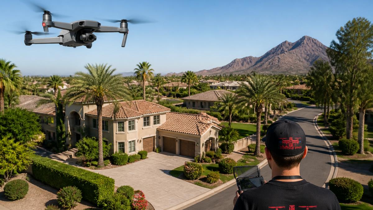
Essential Drone Shots for Real Estate Videos
The most effective real estate aerial photography sequences follow a deliberate structure, with each shot type serving a specific purpose.
Front and Rear Elevations
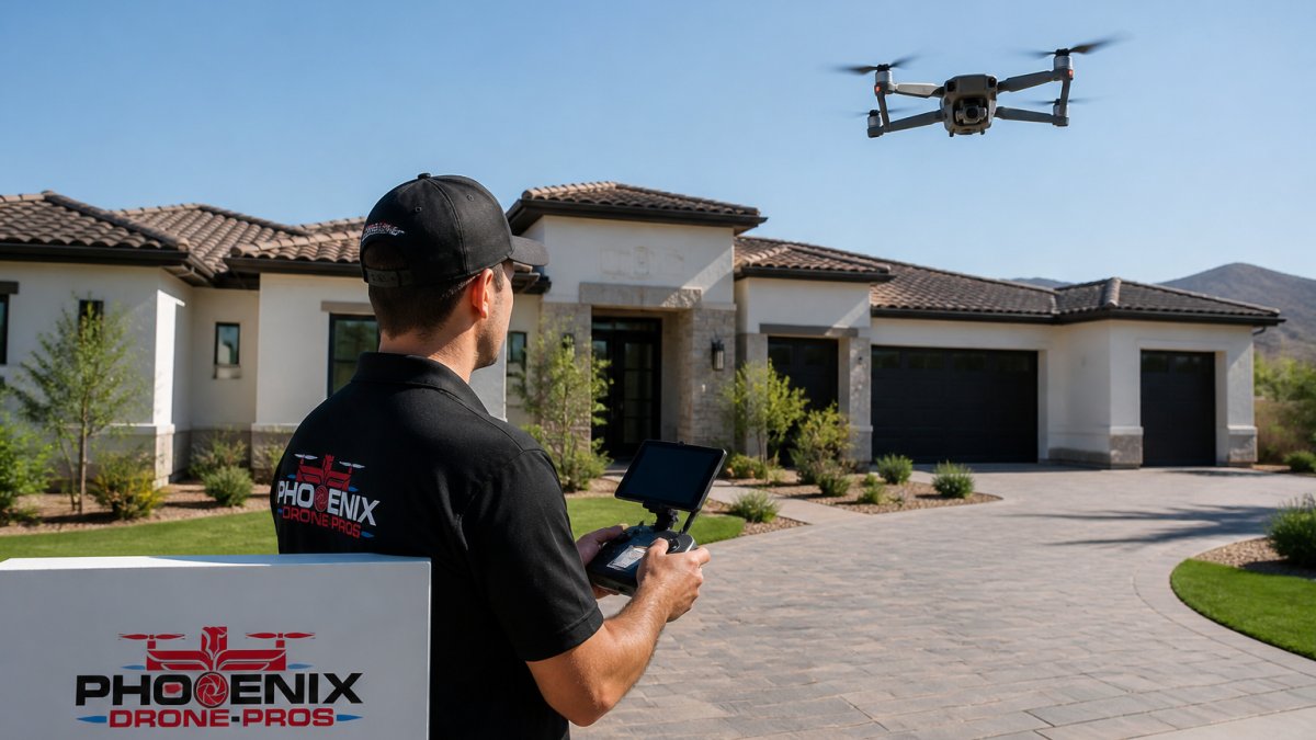
Front elevation shots establish street presence and curb appeal. The drone approaches at a slight upward angle, revealing the entrance, architectural details, landscaping, and driveway, showing whether the property looks maintained.
Rear elevation shots reveal what buyers won't see during a drive-by: backyard layout, deck or patio size, pool or water features, and the house-to-lot-boundary relationship. For acreage or distinctive rear views, this footage can be decisive.
Top-Down and Overhead Views
Top-down aerial shots show property boundaries, lot size, and the relationship between structure and land, whether a lot is narrow and deep or irregularly shaped, and whether there's room for a pool, addition, or second structure.
Overhead shots also capture neighborhood context: nearby streets, tree coverage, proximity to parks or water, and surrounding density. A property that looks isolated at ground level may sit in a vibrant, walkable neighborhood from above, and vice versa.
Approach, Reveal, and Orbit Movements
Reveal shots uncover details progressively: the drone might start on the roofline, descend to the front entrance, then sweep around to the backyard, keeping viewers engaged and ensuring they notice key features.
Orbit movements circle the property at a consistent altitude and distance, showing all four sides with visual continuity, communicating character from every angle for homes with distinctive features on multiple sides.
Real Estate Aerial Photography: Neighborhood and Landscape Context
Professional drone video for property listings gains power when it situates the property within its broader context.
Waterfront properties demand specialized aerial coverage showing water access, dock configuration, shoreline condition, and the house-to-water relationship.
Properties with significant acreage benefit from aerial shots capturing the full extent of the land.
Landscape features, mature trees, rock formations, views, distinctive topography, stand out dramatically in aerial footage, capturing selling points in ways ground-level photography cannot.
Drone License for Real Estate Photography: Regulations and Compliance
Operating a drone for real estate photography requires compliance with Federal Aviation Administration regulations. This section covers certification, airspace, privacy, and a pre-flight checklist for every listing.
The Certification Requirement
The FAA requires commercial drone operators to hold a Part 107 Remote Pilot Certificate, earned by passing a knowledge test covering airspace, weather, loading, emergency procedures, and operational limits, and kept current.
If a listing agent or seller flies the drone themselves and the footage ends up in marketing, that flight is a commercial operation. Operators looking to develop this skill in-house can pursue Done flight training to earn their own Part 107 certification.
Airspace: The Question That Sinks Most Shoots
Most compliance risk in real estate work comes from airspace, not the certificate itself. The practical question is whether the property sits in or near controlled airspace.
- Class G airspace is generally uncontrolled and is where most suburban and rural listings sit. Flights under Part 107 are permitted without prior authorization, subject to the standard operating rules.
- Class B, C, D, and E surface area airspace surrounds larger airports and requires prior FAA authorization through the Low Altitude Authorization and Notification Capability (LAANC) system or the FAA DroneZone portal. LAANC provides near-real-time authorization at many participating facilities.
- Restricted and special-use airspace, including military operating areas, national security areas, and certain temporary flight restrictions, may prohibit flights entirely. Temporary flight restrictions are common around wildfires, major events, and VIP movement, and they can appear with little notice.
Privacy, Property Boundaries, and Neighbor Concerns
Drone flights over neighboring properties raise legal and relationship concerns, and state and local rules vary. A few practices reduce risk on every shoot:
- Keep the camera pointed at the subject property and avoid capturing identifiable neighbors or their interiors.
- Avoid hovering over adjacent homes, pools, or backyards, even briefly.
- Notify neighbors in advance when a shoot will involve sustained flight near property lines, especially on small lots.
Insurance and Liability
Commercial drone operations carry liability risk: a malfunction can damage property or injure someone on the ground. Professional operators carry liability insurance, and listing agents should request a certificate of insurance before the shoot, verifying it covers commercial drone operations at a limit appropriate for the property value.
A Pre-Flight Checklist for Every Listing
Use this checklist before every real estate shoot:
- Confirm the pilot holds a current Part 107 certificate.
- Check the airspace class for the property and obtain LAANC or DroneZone authorization if required.
- Check for temporary flight restrictions and notices to air missions on the day of the shoot.
- Confirm local permit or notification requirements for the jurisdiction.
- Inspect the site for obstacles: power lines, trees, structures, and people.
- Check weather: wind, visibility, and precipitation against the drone's operating limits.
- Confirm the camera settings, battery state, and storage capacity before takeoff.
- Brief anyone on site about the flight path and keep bystanders clear of the operating area.
- Confirm liability insurance is current and on file.
The certificate is the entry ticket. The airspace check, the day-of restriction check, and the insurance verification are what actually keep a shoot compliant and insurable.
At Phoenix Drone Pros, our team holds current FAA Part 107 certifications and maintains full liability insurance coverage. We verify airspace and restrictions before every project and obtain necessary permits where required.
Real Estate Videography Pricing: What to Expect
Real estate videography pricing varies by property size, complexity, location, and deliverables. This section breaks down the cost drivers and typical package structures.
What Drives the Price
Five factors account for most of the variation in quotes:
- Property size and acreage. A quarter-acre suburban lot needs a short flight plan. A 20-acre estate or a working farm requires multiple takeoff points, longer flight lines, and more battery changes. Expect the aerial portion of a quote to scale with the number of acres and the number of structures.
- Number of buildings and features. A single-family home is one subject. A multi-building commercial site, a horse property with barns and arenas, or a waterfront estate with a dock and boathouse multiplies the shot list and the editing time.
- Accessibility and airspace. Properties near an airport, inside controlled airspace, or in a jurisdiction that requires a permit add planning and compliance time. A property surrounded by tall trees or power lines may require a different flight approach and more takes.
Typical Package Structures
Most professional real estate drone video providers sell in tiers rather than à la carte. A common pattern looks like this:
- Entry package. A short aerial-only video (often 30 to 45 seconds), basic color correction, one music track, and a single horizontal export. Suitable for a standard suburban listing where the aerial footage supplements ground photography.
- Mid-tier package. A longer video (60 to 90 seconds), a structured shot list covering front and rear elevations, orbit, top-down, and neighborhood context, color grading, licensed music, captions, and exports in both horizontal and vertical formats for MLS and social channels.
- Premium package. Extended runtime, additional camera angles, interior or ground-level integration, custom music or voiceover, and multiple deliverable versions. Common for luxury, waterfront, acreage, and commercial properties where the aerial footage is the primary marketing asset. For commercial real estate, a Video Offering Memorandum can be a powerful addition, combining aerial footage with property data and financial metrics to attract institutional buyers.
Add-ons that frequently appear as separate line items include still aerial photography, twilight shoots, 360-degree panoramas, floor-plan overlays, and construction progress documentation.
Ask every provider what is included in the base price versus billed separately. Music licensing, vertical exports, and revision rounds are the three items most often quoted as extras.
How to Judge Whether the Spend Pays for Itself
No single price point fits every listing.
A second way to frame it is per-listing versus per-marketing-channel.
Do not shop on headline price alone. Compare what each quote includes, how many deliverable formats you receive, and how many revision rounds are built in. A slightly higher quote that includes vertical exports and licensed music is often the better value.
At Phoenix Drone Pros, we quote each project based on the property and the deliverables you actually need, and we itemize what is included so you can compare apples to apples.
Real estate drone video packages typically follow a tiered structure, with scope and deliverables determining the price range.
| Package Level | Video Length | Key Deliverables | Best For |
|---|---|---|---|
| Entry | 30 to 45 seconds | Basic color correction, one music track, single horizontal export | Standard suburban listings |
| Mid-tier | 60 to 90 seconds | Structured shot list, color grading, licensed music, captions, horizontal and vertical exports | Most residential properties |
| Premium | Extended runtime | Interior or ground-level integration, custom music or voiceover, multiple versions | Luxury, waterfront, acreage, commercial properties |
Professional Drone Video Versus Ground-Level Photography
Professional drone video for property listings and ground-level photography serve different purposes, and the best strategies use both.
Drone video provides context and scope, showing property size, lot configuration, and neighborhood setting.
The most effective real estate marketing combines both. Ground-level photography handles detail and emotional appeal. Professional drone video for property listings handles scope, context, and differentiation.
National Association of REALTORS® guidance on drone technology in real estate
Selecting a Professional Drone Video Service
First, verify certifications and insurance. Your provider should hold an FAA Part 107 Remote Pilot Certificate and comprehensive liability insurance.
Second, review the portfolio.
Third, discuss your specific goals.
Fourth, confirm turnaround time. Some services deliver within days, others take weeks.
At Phoenix Drone Pros, we start by understanding your property and your marketing objectives. Drone Real Estate Photography That Sells is where you can book professional drone photography for your property listings.
Professional drone video for property listings has shifted from a luxury add-on to a competitive necessity.
When you're ready to differentiate your listings with professional-quality aerial footage, Phoenix Drone Pros delivers the expertise and results that matter.
Frequently Asked Questions
Do I need a drone license to take real estate photos?
Yes. Any commercial drone operation in the United States requires an FAA Part 107 certificate, commonly called a drone license. Real estate photography qualifies as commercial use. Operators must pass a knowledge test, be at least 16 years old, and comply with airspace restrictions. The National Association of REALTORS® advises agents to verify that any drone service provider holds current FAA certification and appropriate insurance before hiring them for property listings.
What drone shots should a real estate listing include?
Effective real estate drone videos combine front and rear elevations to show the property's full exterior, top-down overhead shots to display roof condition and lot size, and approach or orbit movements that reveal the property in context. Community overview shots showing nearby amenities, waterfront views if applicable, and surrounding landscape context help buyers understand location value. Smooth camera movements and high-resolution video quality ensure professional presentation that differentiates listings in competitive markets.
How much does professional drone video for real estate cost?
Pricing for professional drone video depends on property size, location complexity, video length, editing requirements, and delivery timeline. Pricing for residential listings differs from commercial properties or multi-building sites. For current pricing and a customized quote based on your specific property and needs, contact a local FAA-certified drone operator directly. Many providers offer tiered packages for single-property shoots versus ongoing documentation.
How quickly can I receive drone video after the shoot?
Professional drone operators typically deliver edited, color-corrected video within 5-10 business days, depending on the scope and editing complexity. Rush delivery may be available for additional fees. Before hiring, confirm the operator's standard turnaround time and ask about their backup systems to ensure reliable, timely delivery. Experienced operators maintain consistent schedules and communicate delays upfront.