 comparison
RedWing Aerials Alternatives for Site Mapping
Table of Contents
- Why Site Mapping Requires the Right Partner
- Software-Based Alternatives for Site Mapping
- Drone Mapping Service Providers vs. Software Solutions
- Drone Surveying Cost Comparison: What to Budget
- Hiring FAA-Certified Drone Pilots for Accurate Results
- Key Factors in Choosing Your Site Mapping Solution
- Conclusion
Last Updated: August 22, 2026
Why Site Mapping Requires the Right Partner
Site mapping has become essential for construction managers, real estate professionals, and facility managers who need accurate, detailed aerial views of properties. The challenge is choosing between hiring a drone service provider or investing in mapping software. Each approach carries different trade-offs in cost, accuracy, control, and time-to-results.
At Phoenix Drone Pros, we've worked with clients across construction, real estate, and commercial property management. The right choice depends entirely on your project's specific requirements, your team's technical skill level, and how often you need updated data. Some organizations thrive with cloud-based software and automated flight planning. Others need the precision and local expertise that comes from working with FAA-certified pilots who understand their specific market.
This guide breaks down the major alternatives to RedWing Aerials, comparing software platforms, service providers, and the hybrid approaches that work best for different use cases.
Software-Based Alternatives for Site Mapping
Software-based solutions handle photogrammetry, orthomosaic generation, and 3D modeling after you've captured raw imagery. They're ideal for teams with drones already in hand or those flying regularly enough to justify the learning curve. The workflow involves uploading drone imagery, setting ground control points, and letting the processing engine generate maps, point clouds, and 3D models.
The key advantage: you control the entire workflow, retain your data locally if needed, and can reprocess images with different parameters without paying per-flight fees. The trade-off is technical complexity. Most platforms require understanding flight parameters, georeferencing, coordinate systems, and how to validate accuracy before delivering results to stakeholders.
Pix4D: Desktop and Cloud Processing
Pix4D remains the industry standard for professional photogrammetry, offering both desktop and cloud processing. Desktop processing keeps sensitive project data on your local infrastructure. Cloud processing eliminates the need for powerful hardware and scales automatically for large datasets.
Pix4D's strength lies in flexibility. The software handles surveying workflows, agricultural monitoring, and construction site documentation with survey-grade accuracy when you use proper ground control points. The platform exports to industry-standard formats including LAS/LAZ point clouds, GeoTIFF orthomosaics, and OBJ 3D models that integrate directly into CAD and GIS systems.
Pricing for Pix4D's cloud subscriptions starts at $49.20 per month, though professional workflows often require higher-tier packages (pix4d.com). Desktop processing can be hardware-intensive for large projects, potentially requiring significant upfront investment in processing workstations. Cloud processing becomes attractive when you pay for processing power as needed rather than maintaining expensive local hardware.
A common mistake is underestimating the skill curve. Pix4D requires understanding flight parameters, camera calibration, and georeferencing concepts. Many organizations pair Pix4D with professional drone pilots who handle image capture while the team focuses on processing and analysis.
DroneDeploy: Cloud-Native Workflows
DroneDeploy takes a cloud-only approach with heavy automation. The platform integrates directly with DJI drones, automating flight planning and data capture. You define a site boundary, set altitude and overlap parameters, and the system generates an automated flight path. The drone executes the mission, uploads imagery to the cloud, and processing begins automatically.
This workflow eliminates manual flight planning and local processing entirely. Results arrive as orthomosaics, 3D models, and AI-powered analytics without your team touching the processing pipeline. Processing typically completes within 2-24 hours, depending on dataset size.
DroneDeploy's integration ecosystem connects to Procore, Autodesk, and other project management tools, embedding aerial insights directly into workflows teams already use. A construction manager can pull up a DroneDeploy orthomosaic inside Procore and compare it to design plans without context-switching between applications.
The limitation is significant: DroneDeploy only supports DJI drones. Per-seat pricing at $329 per user per month also becomes expensive for larger teams (dronedeploy.com). A construction company with 15 project managers faces substantial monthly costs, though unlimited flights included in individual plans offset some expense.
Propeller Aero: Construction-Focused Surveys
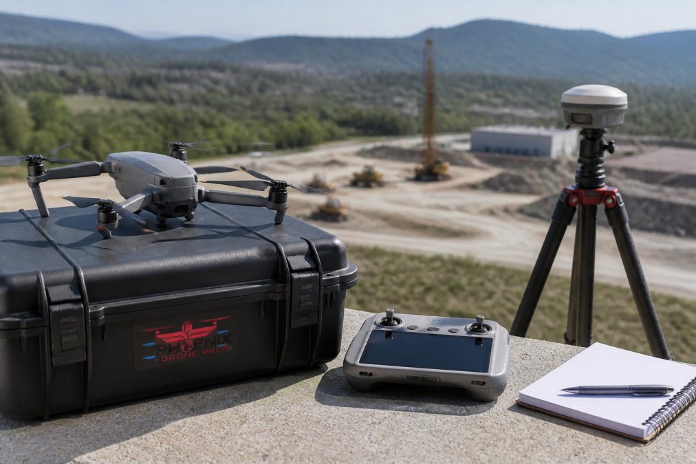
Propeller Aero targets construction and mining companies requiring centimeter-level accuracy on recurring surveys. The platform is built around establishing fixed ground control points using proprietary AeroPoint GNSS hardware, flying regular missions over the same site, and tracking changes over time.
This approach solves a real problem in construction. Earthworks monitoring, stockpile volumetric calculations, and progress tracking all demand consistency and precision. Propeller Aero's AeroPoint hardware delivers that consistency by establishing a reliable reference frame, eliminating the need for manual georeferencing on every flight. The platform automatically processes imagery, generates orthomosaics and 3D models, and calculates volumetric changes between surveys.
The trade-off is upfront investment. AeroPoint hardware can cost thousands of dollars per site, plus annual subscription fees. This model makes sense for companies with multiple recurring survey sites where the cost spreads across dozens of flights over a year.
Propeller Aero's platform excels at long-term construction site monitoring with high accuracy requirements. The system integrates CAD overlays, allowing teams to compare aerial surveys against design plans.
Skycatch: Industrial-Grade Processing
Skycatch focuses on mining and industrial applications where speed and precision matter equally. The platform automates the entire capture-to-analysis workflow with autonomous drone flights, rapid processing, and real-time 3D model generation. Skycatch delivers survey-grade accuracy (5cm across all axes) while maintaining processing speeds that rival cloud platforms (skycatch.com).
The system generates high-resolution 3D models of vertical surfaces, critical for mining operations where slope stability and stockpile geometry drive operational decisions. AI-powered analytics identify changes in stockpile geometry, flag safety concerns, and generate volumetric reports automatically.
Pricing isn't publicly available, which typically signals enterprise-level solutions. Contact-based pricing means costs scale with your requirements and site complexity.
Drone Mapping Service Providers vs. Software Solutions
The choice between software and service providers hinges on a fundamental question: do you want to own the process or outsource it?
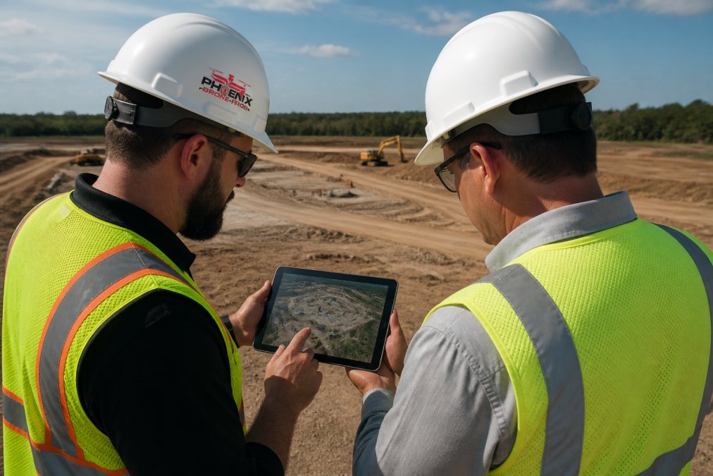
Service providers handle everything. They bring FAA-certified pilots, professional-grade equipment, flight planning expertise, and post-processing knowledge. You define what you need, a 3D model of your construction site, thermal imagery of your roof, orthomosaics for progress tracking, and they deliver finished products. This approach eliminates the learning curve entirely.
The cost structure differs significantly. Service providers charge per project or per flight. For organizations that need surveys occasionally, this variable cost model makes sense.
The trade-off is control and flexibility. When you use a service provider, you're dependent on their schedule, equipment capabilities, and processing timeline. For construction companies managing multiple sites simultaneously, coordinating with external providers can create bottlenecks.
Software solutions demand more from your team but offer complete control. You choose when to fly, what parameters to use, and how to process results. For organizations flying regularly, weekly or monthly surveys on ongoing projects, software becomes more cost-effective than paying per-flight fees.
The skill requirement is real. Your team needs someone who understands drone operations, flight planning, image capture best practices, and photogrammetry fundamentals. Over time, as processes standardize, the workflow becomes routine.
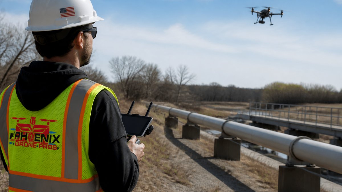
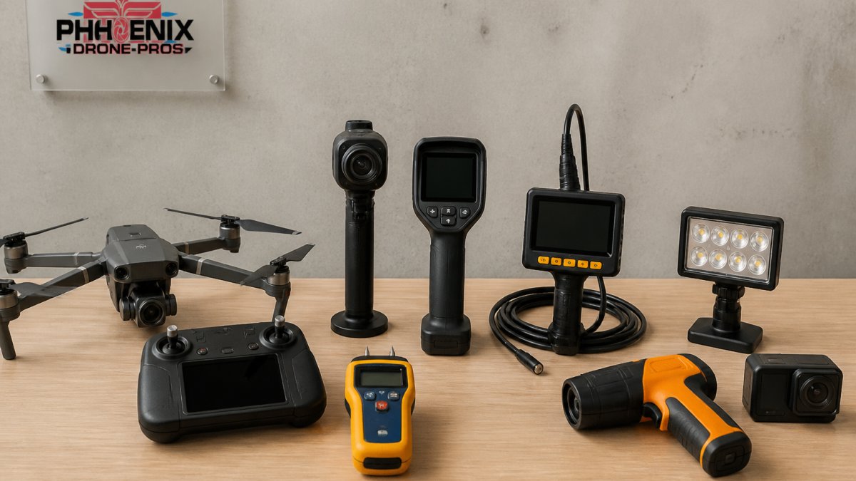
Phoenix Drone Pros bridges this gap by providing both service and expertise. For organizations deciding whether to build internal drone capabilities, we can handle initial surveys while your team learns the process. For complex projects requiring specialized equipment or thermal imaging, our FAA-certified pilots ensure professional results without requiring your team to invest in hardware or certifications.
Drone Surveying Cost Comparison: What to Budget
Understanding the cost structure helps you evaluate whether to build internal capabilities or use service providers.
Service provider costs vary widely based on project complexity. The advantage of service providers is predictability. The disadvantage is that costs accumulate quickly for recurring surveys. A construction company surveying a site weekly over six months faces significant cumulative expenses using external providers.
Software solutions have different cost structures. Pix4D cloud subscriptions start at $49.20 monthly. DroneDeploy charges $329 per user monthly. Propeller Aero requires hardware investment plus annual subscriptions. For a team of two people using DroneDeploy, annual costs reach approximately $7,896 before drone hardware or processing equipment.
The crossover point depends on flight frequency. Organizations flying 20+ times annually often see software becoming more economical than service providers. Organizations flying fewer than 10 times annually typically benefit from service providers' variable cost model.
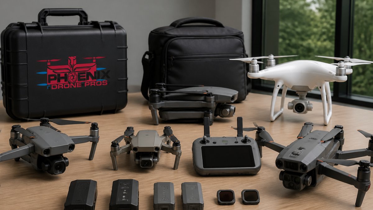
Additional budget considerations include drone hardware ($500-$10,000 depending on grade), processing workstations ($2,000-$5,000), and FAA Part 107 certification ($175 for the exam plus training time).
Hiring FAA-Certified Drone Pilots for Accurate Results
When you choose to use service providers or build internal drone capabilities, pilot certification matters significantly. FAA Part 107 certification ensures pilots understand airspace regulations, safety protocols, and operational best practices.
Certified pilots understand how to optimize flight parameters for specific deliverables. They know the relationship between altitude, camera angle, and ground resolution. They understand how wind conditions affect image quality and can adjust flight plans accordingly. They know how to establish proper ground control points for georeferencing and can troubleshoot issues in the field.
When hiring external providers, verify certifications. Ask for proof of Part 107 certification, insurance documentation, and examples of previous work in your industry. Professional providers maintain liability insurance covering drone operations.
For internal teams, the certification process takes 2-4 weeks of study plus exam preparation. The knowledge test covers airspace regulations, weather interpretation, aircraft performance, and emergency procedures.
Key Factors in Choosing Your Site Mapping Solution
Selecting the right approach requires evaluating several dimensions specific to your situation.
Accuracy Requirements. Construction projects tracking earthworks or stockpile volumes need centimeter-level accuracy. Real estate photography for listings tolerates meter-level accuracy. Match your solution to actual accuracy needs rather than assuming "higher is better."
Flight Frequency. Weekly surveys justify software investment. Monthly surveys work with either approach. Quarterly surveys favor service providers. Calculate the crossover point based on your specific costs and flight count projections.
Team Expertise. Organizations with GIS specialists or engineers comfortable with technical workflows benefit from software platforms. Organizations without this expertise should consider service providers or hire specialized staff.
Data Sensitivity. Projects involving sensitive property information benefit from local processing. Cloud-only platforms store data on external servers. If data privacy concerns exist, desktop processing or service providers with local data handling become important.
Integration Requirements. Construction companies using Procore, Autodesk, or other project management platforms benefit from platforms with direct integrations. DroneDeploy's integration ecosystem is particularly strong for construction workflows.
Equipment Compatibility. DroneDeploy requires DJI drones. Pix4D works with most drone manufacturers. Propeller Aero optimizes for DJI but works with other platforms. Verify compatibility before committing to software platforms.
Support and Training. Professional software platforms offer training resources and technical support. Service providers handle support directly. Consider your team's ability to troubleshoot issues independently versus relying on vendor support.
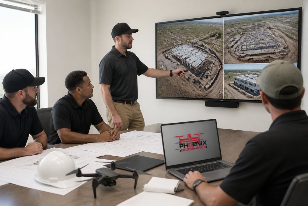
Phoenix Drone Pros helps organizations evaluate these factors through consultation. We work with construction managers, real estate brokers, and facility managers to determine whether internal capabilities make sense or whether service providers deliver better economics and quality for their specific situation.
Choosing a site mapping solution requires honest assessment of your team's technical capabilities, project requirements, and financial constraints. Software platforms offer control and long-term cost advantages for organizations flying regularly and willing to invest in training. Service providers like Phoenix Drone Pros deliver professional results immediately, eliminating the learning curve and capital investment. Many organizations benefit from hybrid approaches: using service providers for complex or specialized projects while building internal capabilities for routine surveys.
The key is matching your choice to your actual needs rather than assuming one approach works universally. Construction companies with recurring survey requirements often discover that software platforms become essential as projects scale. Real estate professionals capturing occasional property imagery typically find service providers more efficient. Facility managers conducting annual inspections might use service providers for specialized work while maintaining basic drone capabilities internally.
Get started with Phoenix Drone Pros to evaluate your specific site mapping requirements. Our FAA-certified team can assess your project complexity, timeline, and accuracy needs, then recommend whether our professional services, software platform guidance, or a combination of both delivers the best results for your situation. Contact us for a consultation and discover how professional aerial data transforms construction documentation, real estate marketing, and facility management.
=== FAQ ANSWERS (audit these too, same rules) ===
[1] Q: What are the best alternatives to RedWing Aerials for site mapping? A: The best alternative depends on your needs. For professional service, hire FAA-certified drone pilots who offer full documentation and liability insurance. For software, Pix4D delivers survey-grade accuracy with flexible processing options, DroneDeploy provides cloud-based workflows for construction teams, and Propeller Aero specializes in recurring site surveys with centimeter-level precision. Evaluate based on accuracy requirements, budget, and whether you need full-service capture or just processing software.
[2] Q: How do drone surveying costs compare across different providers? A: Drone surveying cost comparison varies significantly. Professional drone mapping service providers charge based on project scope, site size, and deliverable complexity. Software subscriptions range from $49.20/month for Pix4D to $329/user/month for DroneDeploy, while specialized platforms like Propeller Aero require hardware investment plus annual subscriptions. Request quotes from multiple providers to understand pricing for your specific project requirements.
[3] Q: Why should I hire FAA-certified drone pilots instead of using software alone? A: FAA-certified drone pilots bring legal compliance, liability insurance, and expertise that software cannot provide. They understand flight planning, georeferencing, ground control points, and proper sensor positioning to capture high-quality aerial imagery. Certification ensures adherence to Federal Aviation Regulations for commercial operations, protects your property, and delivers accurate photogrammetry data that software alone cannot generate without proper source imagery.
[4] Q: What's the difference between cloud-based and local processing for site mapping? A: Cloud processing (DroneDeploy, Skycatch) eliminates hardware requirements and speeds deployment but depends on internet connectivity and involves uploading sensitive data. Local processing (Pix4D desktop) keeps data on-site, offers better security for proprietary projects, and works offline, but requires powerful computers and longer processing times. Choose cloud for speed and simplicity, local processing for data privacy and control.
Frequently Asked Questions
What are the best alternatives to RedWing Aerials for site mapping?
The best alternative depends on your needs. For professional service, hire FAA-certified drone pilots who offer full documentation and liability insurance. For software, Pix4D delivers survey-grade accuracy with flexible processing options, DroneDeploy provides cloud-based workflows for construction teams, and Propeller Aero specializes in recurring site surveys with centimeter-level precision. Evaluate based on accuracy requirements, budget, and whether you need full-service capture or just processing software.
How do drone surveying costs compare across different providers?
Drone surveying cost comparison varies significantly. Professional drone mapping service providers charge based on project scope, site size, and deliverable complexity. Software subscriptions range from $49.20/month for Pix4D to $329/user/month for DroneDeploy, while specialized platforms like Propeller Aero require hardware investment plus annual subscriptions. Request quotes from multiple providers to understand pricing for your specific project requirements.
Why should I hire FAA-certified drone pilots instead of using software alone?
FAA-certified drone pilots bring legal compliance, liability insurance, and expertise that software cannot provide. They understand flight planning, georeferencing, ground control points, and proper sensor positioning to capture high-quality aerial imagery. Certification ensures adherence to Federal Aviation Regulations for commercial operations, protects your property, and delivers accurate photogrammetry data that software alone cannot generate without proper source imagery.
What's the difference between cloud-based and local processing for site mapping?
Cloud processing (DroneDeploy, Skycatch) eliminates hardware requirements and speeds deployment but depends on internet connectivity and involves uploading sensitive data. Local processing (Pix4D desktop) keeps data on-site, offers better security for proprietary projects, and works offline, but requires powerful computers and longer processing times. Choose cloud for speed and simplicity, local processing for data privacy and control.
This article was written using GrandRanker