 Listicle
7 Benefits of Aerial Site Inspections for Property Owners
Quick Summary
Aerial site inspections use drones to view roofs, facades and grounds without anyone climbing a ladder or stepping onto a damaged surface. Property owners gain safer access to hard-to-reach areas, dated visual records for comparison over time, and lower disruption to tenants. They do not replace hands-on checks for structural or interior issues.
- A drone can hover where a person would need scaffolding, a lift or a steep roof pitch to stand.
- Dated images from repeated flights create a baseline for comparing changes over time.
- Drones cannot see inside walls or beneath a closed roof membrane, so structural questions need hands-on inspection.
- Ask providers about deliverable resolution, annotated defects and file turnaround before booking.
- Confirm airspace authorization before the flight, since controlled airspace near airports may require it.
Table of Contents
- Why Property Owners Are Turning to Aerial Site Inspections
- Safer Access to Steep, Tall and Hard-to-Reach Areas
- Aerial Roof Inspection: Condition Checks Without Ladders
- Traditional Inspection vs. Aerial Inspection: A Side-by-Side Comparison
- Tracking Progress With Drone Construction Progress Monitoring
- Construction Site Mapping and How Accurate Aerial Surveys Really Are
- Limits, Privacy Rules and Choosing an Aerial Inspection Provider
- Booking Your First Aerial Inspection and Getting a Quote
- Frequently Asked Questions
Why Property Owners Are Turning to Aerial Site Inspections
Last Updated: November 18, 2026
Aerial site inspections let property owners see roofs, facades and grounds without sending a person up a ladder or onto a damaged surface. At Phoenix Drone Pros, our FAA-certified team flies these inspections for commercial owners, facility managers and homeowners across Phoenix and San Antonio, so we see the same questions come up again and again.
Drone inspections are moving into mainstream property work. Study on using unmanned aerial vehicles for sloped roof inspections found that UAVs offer an economical, technology-based alternative to traditional sloped-roof inspection. The study did not report a sample size or a quantified outcome, so the case rests on the method rather than on a measured cost saving.
The main draw is access. A roofer or inspector working on a steep or fragile surface faces fall risk, and a camera does not. Owners also get a visual record they can file and compare against a later flight. Industry guidance from CAM Services guide on aerial drone inspections for commercial properties describes that same documentation value for rooftop equipment and outdoor areas.
Used well, aerial inspections give owners a first look at a property's surfaces. They do not replace every hands-on check, and the sections below explain where they fall short.
Safer Access to Steep, Tall and Hard-to-Reach Areas
Most of the safety case comes down to one fact: a drone can hover where a person would need scaffolding, a lift or a steep roof pitch to stand. Pitched roofs, tall parapets, and the upper floors of multi-story buildings are the places where a fall is most likely and most serious.
Access also limits how often owners inspect at all. A check that requires a crew, a lift rental and a half day on site gets postponed. A drone flight can be scheduled with less disruption than a crew visit, which can make regular condition checks easier to plan.
Watch out: a drone cannot see through a closed roof membrane or inside a wall cavity. Treat the flight as a surface survey and plan a physical inspection when the question involves structural integrity.
Aerial Roof Inspection: Condition Checks Without Ladders
A roof inspection is the most common reason owners book an aerial flight. The drone captures high-resolution images and video of the membrane, flashing, gutters, skylights and rooftop equipment, which lets an owner or inspector spot cracks, ponding, debris and damaged seams from the ground.
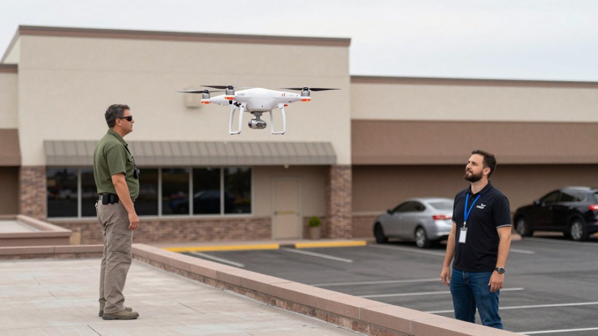
The documentation is the practical payoff. Dated images create a baseline, so a second flight a year later shows what changed. Those records also help with maintenance planning, insurance claims and bids from roofing contractors.
Thermal imaging adds another layer. See what a drone inspection reveals on the kinds of surface and temperature findings these flights capture. Phoenix Drone Pros offers thermal roof inspection flights that help identify temperature variations across a roof surface, which can point to moisture problems worth a closer look. Thermal readings show anomalies, not confirmed leaks, so they should lead to a hands-on follow-up.
Traditional Inspection vs. Aerial Inspection: A Side-by-Side Comparison
Owners weighing their options usually want a clear view of the trade-offs. The table below compares the approaches on the factors that drive property decisions, and the paragraphs after it explain the cost mechanics.
| Factor | Traditional inspection | Aerial inspection |
|---|---|---|
| Roof access | Ladder, lift or crew on the surface | Drone flies over, no one climbs |
| Fall risk to inspector | Present on steep or fragile roofs | Largely removed |
| Time on site | Often a half day or more | Typically a short flight |
| Disruption to tenants | Higher, with equipment and foot traffic | Lower, brief overhead flight |
| Close-up detail | Strong, hands-on | Limited without a follow-up visit |
| Hidden or interior defects | Can be checked with tools | Cannot see inside structures |
| Documentation | Notes and photos | Dated imagery and video |
| Typical cost drivers | Labor hours, lift or scaffold rental, safety setup | Flight time, travel, processing, deliverables |
| Best use | Confirming a defect or structural question | Routine condition checks and hard-to-reach surfaces |
Cost is where the comparison gets murky, because no two properties price the same way. A traditional roof inspection typically carries labor for one or more workers, plus rental of a lift or scaffolding when the roof is tall or steep, plus the time to set up fall protection. Those line items scale with height, pitch, and how much equipment has to be moved onto the site.
Owners often find that the value of aerial inspection lies in frequency. Scheduling checks more often can help owners catch small defects earlier, before they turn into larger repairs after a leak reaches the interior.
Watch out: a low per-flight price can hide weak deliverables. Ask what resolution the images are delivered at, whether the report includes annotated defects, and how quickly files arrive.
For owners, the choice is rarely either-or. Aerial flights work well for regular condition checks and for steep or hard-to-reach surfaces. Hands-on inspections remain the right call when a defect needs confirmation or when the structure itself is in question. Many owners settle into a scheduled aerial cadence, with a hands-on visit when the imagery shows something worth confirming.
Best for: owners who inspect often and want a visual record without a crew on the roof. Skip if: you need a confirmed structural or interior assessment; a drone cannot provide one.
Tracking Progress With Drone Construction Progress Monitoring
Developers and project managers use drone flights to follow a build from one stage to the next. Repeated flights over the same site produce a series of dated images that show how foundations, framing and exterior work advanced, which helps teams compare progress against the schedule.
This kind of documentation supports conversations with contractors, lenders and the owner's own team. When a dispute arises about what was finished and when, a dated image set is far easier to review than memory and site logs.
Consistency matters most. Flying from the same positions on a similar schedule makes the images comparable. Owners should agree on a flight cadence at the start of a project rather than booking flights reactively.
Construction Site Mapping and How Accurate Aerial Surveys Really Are
Aerial mapping turns overlapping photographs into orthomosaic maps and 3D models. Owners use these outputs to measure areas, check grading and compare the site against design plans. Accuracy depends on flight planning, ground control points and the quality of the processing software, not on the drone alone. Explore construction drone mapping for better site control to see how these surveys are planned and delivered.
Accuracy claims deserve scrutiny. Ask a provider what ground control method they use, what accuracy they commit to for the deliverable, and how they verify it. An accuracy figure with no method behind it tells you little.
The limits matter too. Dense tree cover, reflective surfaces and fast-changing ground can reduce precision. Survey-grade work for legal boundaries or engineering layouts usually needs a licensed surveyor to verify the results.
Limits, Privacy Rules and Choosing an Aerial Inspection Provider
Aerial inspections have boundaries worth knowing before you book, and the practical ones fall into three groups: what the camera cannot see, what the rules allow, and how the provider handles the images afterward.
Start with the physical limits. Drones cannot see inside walls, beneath a closed roof membrane, or into a wall cavity, and they cannot confirm structural integrity on their own. Weather grounds flights, and dense tree cover, reflective surfaces, or fast-changing ground can reduce image quality. Treat a flight as a surface survey and plan a hands-on inspection when the question involves structure, moisture confirmation, or anything hidden.
The rules matter just as much. First, controlled airspace near airports may require prior authorization, so a provider should confirm airspace status before the flight rather than after. Second, a drone flying over a neighboring property can raise privacy concerns even when the flight itself is legal; owners should ask how the provider frames flights to keep the camera on the subject property and how they handle incidental imagery of neighbors.
Data handling is the third boundary. Aerial flights produce a large volume of images, video, and sometimes 3D models, and those files can show security arrangements, tenant activity, or equipment details. Ask who owns the files, how long they are retained, whether they are stored encrypted, and who inside the provider's organization can access them. A provider that cannot answer those questions plainly is a risk, not just a vendor.
When you evaluate a provider, check these points:
- FAA certification for the pilots who will fly your site
- Liability insurance and proof of coverage for the work
- Sample deliverables, such as the image format, resolution and report structure
- Turnaround time from flight to delivered files
- Experience with your property type, whether roofs, multi-unit buildings or construction sites
- A written answer on data retention, storage, and who can access the files
- Confirmation that airspace authorization is checked before the flight, not after
Phoenix Drone Pros is FAA-certified and fully insured, with more than a decade of commercial drone experience. Ask any provider, including us, to walk you through the deliverables and the data-handling terms before you commit.
Booking Your First Aerial Inspection and Getting a Quote
Pricing depends on the property size, the number of flights, the deliverables you need and how quickly you need files back, so we recommend requesting a site-specific quote. Tell the provider what you want to learn from the inspection, and they can recommend the right flight plan.
To prepare, gather the property address, a rough site plan or roof type, any previous inspection reports, and the specific questions you need answered. Clear goals make a better first flight.
For a quote on your property, visit Phoenix Drone Pros' scheduling and pricing page or review our drone roof inspection documentation options to compare what each flight delivers. Once the flight is booked, your team will receive dated imagery you can use for maintenance planning, insurance records or your next contractor conversation.
Frequently Asked Questions
Are aerial surveys accurate?
Aerial surveys can be highly accurate when the flight is planned correctly, with consistent altitude, overlapping images and ground control points used for georeferencing. Accuracy depends on camera quality, weather, and how the processed data is checked against known site features. Ask any provider how they verify their measurements and whether they share the raw imagery and processing report. A reputable provider will explain their method clearly and be willing to show how the results were validated.
Are drone inspections a substitute for an in-person property inspection?
Drone inspections complement but rarely replace an in-person inspection. Aerial imagery is strong for spotting visible roof damage, drainage problems, and exterior conditions from above. However, it cannot detect everything, such as interior moisture, attic problems, or some structural issues that need hands-on access. Many property owners use aerial inspections to decide where a closer, in-person review is needed, which keeps the overall inspection focused and cost-effective.
How often should property owners schedule aerial site inspections?
The right cadence depends on the property type, roof age, climate, and any recent weather events. Many commercial owners schedule aerial inspections once or twice a year, and after major storms or hail events. Construction projects may need more frequent flights to support progress tracking. Setting a regular schedule makes it easier to compare images over time and catch changes early, which supports maintenance planning and repair prioritization.
What are the limitations of aerial drone inspections?
Aerial inspections have limits. Weather such as high winds, rain, or extreme heat can delay flights. Shaded areas, the underside of structures, and interior spaces are hard or impossible to see from the air. Airspace rules set by the FAA and local restrictions also affect where and when a pilot can fly, and privacy considerations apply when images capture neighboring properties. Understanding these limits helps property owners set realistic expectations and plan follow-up inspections where needed.