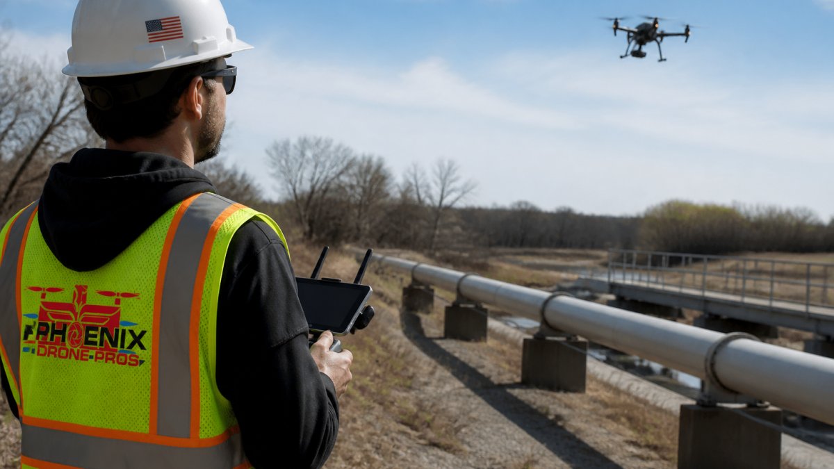
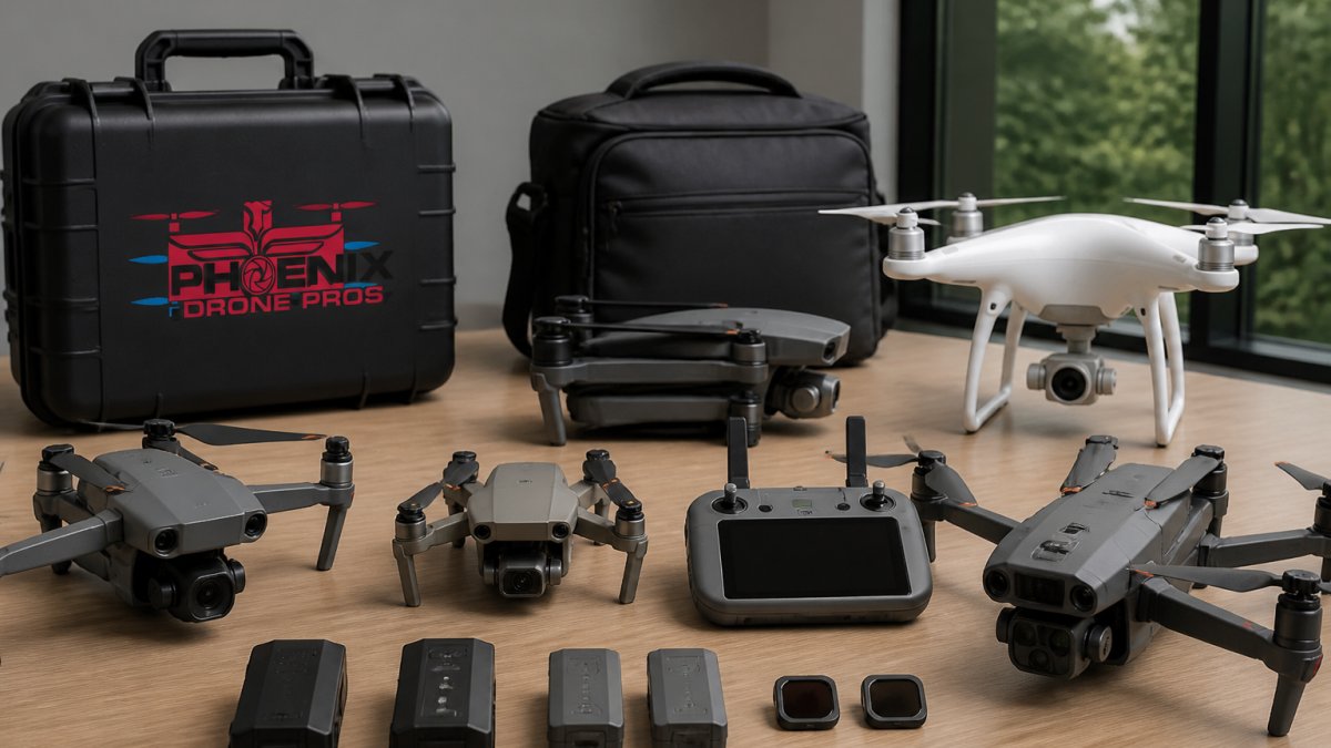
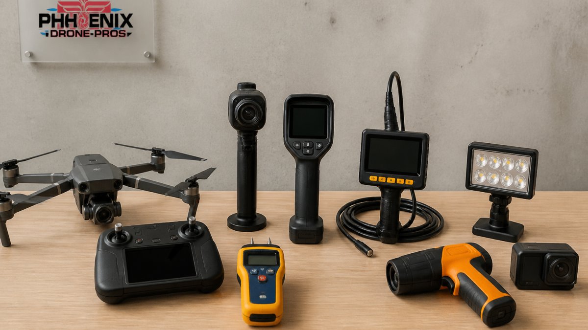
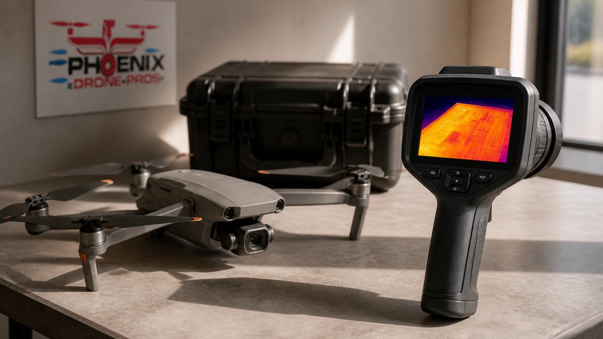
 comparison
Aerial Footage vs Thermal Roof Analysis: Which Wins?
Table of Contents
- Why Aerial Footage and Thermal Roof Analysis Serve Different Purposes
- Quick Comparison: Visual Deliverables vs Diagnostic Thermal Data
- What a Drone Thermal Roof Inspection Actually Reveals
- Drone Roof Inspection Accuracy: What Affects Image Quality
- What a Thermal Roof Inspection Report Should Include
- Best Time for Roof Thermal Imaging and Flight Planning
- Which Approach Fits Your Property and Inspection Goal?
- Conclusion
- Frequently Asked Questions
Last Updated: October 9, 2026
Why Aerial Footage and Thermal Roof Analysis Serve Different Purposes
Stunning aerial footage vs detailed and accurate view of property for thermal roof analysis is not really a contest. It is a question of which deliverable answers the question you actually have. One produces marketing-grade visuals.
At Phoenix Drone Pros, we fly both missions constantly, and the confusion between them causes more bad purchasing decisions than any other issue we see. A real estate agent needs video that sells a listing.
Thermal roof analysis is the process of using an infrared sensor to measure surface temperature differences across a roof and interpret those differences as evidence of heat loss, trapped moisture, or wet insulation. It is a diagnostic method, not a visual one.
Below, we break down what each approach produces, where thermal imaging is genuinely accurate, and where it produces false positives that can send you chasing problems that do not exist.
Quick Comparison: Visual Deliverables vs Diagnostic Thermal Data
The fastest way to choose is to compare what actually lands in your inbox. Most competitors describe aerial footage and thermal imaging separately; the useful comparison is at the deliverable level, because the file you receive determines what you can and cannot prove.
| Factor | Aerial Footage | Thermal Roof Analysis |
|---|---|---|
| Primary output | 4K video, high-resolution stills, sometimes a 3D model | Radiometric thermal images with per-pixel temperature values |
| Data type | Visual only; no temperature values | Quantitative; every pixel carries a temperature reading |
| Best for | Listings, marketing, progress documentation, site context | Leak detection, moisture detection, energy audits, maintenance planning |
| Shows surface damage | Yes, in visible light | Only where damage changes heat patterns |
| Detects trapped moisture | No | Yes, under the right conditions |
| Weather dependency | Low; most daylight conditions work | High; needs a specific temperature differential and low solar load |
| Typical user | Agents, developers, event teams | Facility managers, roofers, property assessors |
| What it can establish | Appearance and condition of the surface | Relative surface temperature and thermal anomalies |
| What it cannot establish | Anything below the surface | A confirmed diagnosis without verification |
What Each Approach Produces
Aerial footage gives you a compelling visual record. It captures roof surface condition, access points, obstructions, and the surrounding site in high-resolution images and video. For a listing or a construction progress log, that is exactly what you need.
Thermal imaging produces a different artifact entirely. A radiometric thermal camera records a temperature value for every pixel, which lets an analyst map heat patterns across the roof surface and flag thermal anomalies for follow-up. The distinction matters because a non-radiometric thermal camera only produces a colored picture, it looks diagnostic but carries no usable temperature data. If a provider cannot tell you whether their camera is radiometric, that is your answer.
Side-by-Side Deliverables: What Each One Can and Cannot Prove
A standard aerial video proves what the roof looks like from above: surface condition, debris, ponding, damaged membrane, and site context. It cannot prove what is happening beneath the membrane.
A visible-light orthomosaic, a stitched, geometrically corrected image of the whole roof, proves location and extent. It is the reference layer that makes thermal findings actionable, because it tells you exactly where on the roof an anomaly sits.
A radiometric thermal output proves that a surface temperature difference exists at the time of flight. It does not, on its own, prove that moisture is present. That requires interpretation against weather history, roof construction, and a visible-light reference.
Cost and Value Breakdown
Pricing for both services depends on roof size, site complexity, flight time, and turnaround, so quotes are project-specific. The value question is simpler and worth stating plainly: visual footage pays for itself when you need to market or document a property, while thermal data pays for itself when an undetected leak or wet insulation would cost more than the inspection. A single missed leak on a commercial low-slope roof can drive repair and interior damage costs well past the price of the scan, which is the real comparison, not the line item on the invoice.
A combined mission usually costs less than two separate flights, because the travel, setup, and pilot time are shared. If you need both marketing visuals and diagnostic data, booking them together is almost always the better value.
What a Drone Thermal Roof Inspection Actually Reveals
A drone thermal roof inspection reveals temperature differences that point to problems invisible from the ground. Wet insulation holds heat differently than dry insulation, so it shows up as a distinct thermal signature when conditions are right.
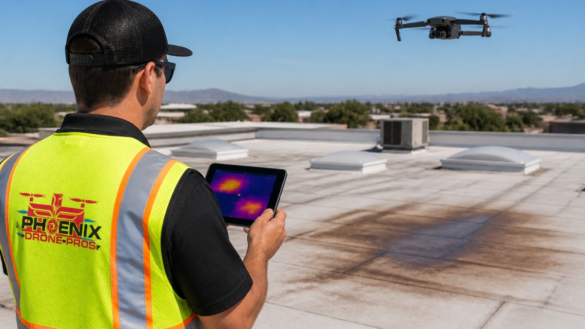
Heat Loss, Trapped Moisture, and Wet Insulation
Three findings dominate most thermal reports. Heat loss shows as warm areas escaping through the roof assembly. Trapped moisture appears as areas that warm and cool more slowly than surrounding dry material. Wet insulation is the most common culprit behind both.
The practical payoff is energy efficiency. When insulation is saturated, it stops insulating, and the building pays for it every month.
Thermal Limitations and False Positives
Thermal imaging is not a magic wand, and anyone who tells you otherwise is selling something. Moisture detection depends on a temperature difference existing in the first place. If the roof has been in full sun for hours, or if the building has been unheated, that difference can vanish.
False positives come from several sources: reflective surfaces like metal flashing, ponding water that has not yet penetrated, and shading from HVAC units or parapet walls. This is why image analysis by an experienced analyst matters more than the camera itself.
Drone Roof Inspection Accuracy: What Affects Image Quality
Drone roof inspection accuracy depends on four variables: sensor resolution, flight altitude, overlap between images, and the environmental conditions during the flight. Get any one wrong and the data degrades.
A radiometric thermal camera matters more than megapixels here. It records actual temperature values rather than just coloring a picture, which is what makes quantitative analysis possible.
Ground sample distance, the real-world size of one pixel, determines whether you can spot a small anomaly or only a large one. Flying lower improves detail but shortens coverage per battery. Good flight planning balances the two.
Wind, cloud cover, and ambient temperature all shift results. As the FAA's Part 107 rules for commercial drone operations require, every commercial flight also needs a certified remote pilot, which is why operator qualification belongs in your evaluation.
What a Thermal Roof Inspection Report Should Include
A thermal roof inspection report should let a decision-maker act without needing to interpret raw imagery. If you cannot tell what to fix and where, the report failed.
A usable report includes:
- Radiometric thermal images paired with visible-light images of the same area
- Temperature scale and reference readings for each image
- Marked locations of thermal anomalies on a roof plan or detailed map
- Notes on conditions at the time of flight, including ambient temperature and cloud cover
- Clear separation of confirmed findings from areas needing follow-up
- Recommended next steps, not just observations
Side-by-side visible and thermal pairs are the single most useful element. The visible image tells you where on the roof you are looking. The thermal image tells you what is happening there. Neither works alone.
Best Time for Roof Thermal Imaging and Flight Planning
The best time for roof thermal imaging is a clear, cold morning shortly after sunrise, when the building has been heated overnight and the roof surface is still warming. That window creates the temperature difference thermal cameras need.
Solar loading is the enemy. Once the sun has been on the roof for a few hours, surface temperatures even out and moisture signatures wash out. Late afternoon flights in summer rarely produce usable data.
Flight planning also accounts for obstructions: HVAC units, skylights, and parapet walls all cast shadows that can mimic anomalies. Mapping the roof in advance and setting a consistent altitude and overlap keeps the imagery comparable across inspections, which matters when you are tracking a roof condition over time.
Which Approach Fits Your Property and Inspection Goal?
Match the tool to the goal and you will never waste money on the wrong flight. Use this decision framework:
- Selling or marketing a property: Aerial footage. You need compelling visuals and site documentation, not diagnostics.
- Suspecting a leak or rising energy costs: Thermal roof analysis. Visual footage will not find trapped moisture.
- Managing a commercial roof portfolio: Both. Footage for records and stakeholder communication, thermal for maintenance planning.
- Documenting construction progress: Aerial imagery with 3D models and detailed maps. Thermal adds little during active construction.
- Planning a solar project: Both, since shading analysis and roof condition both affect the design.
For complex sites, a combined mission often costs less than two separate flights. We plan both deliverables into a single visit when the goals overlap, and our team handles construction progress documentation and aerial inspections as part of the same workflow. You can see how that works on our commercial real estate services page.
Conclusion
The hardest part is not choosing between stunning footage and diagnostic data. It is knowing which question you are actually trying to answer before you book a flight. Guess wrong and you end up with beautiful video that tells you nothing about the leak you suspected.
Phoenix Drone Pros flies both missions with FAA-certified pilots, full insurance, and more than a decade of commercial drone experience across difficult-to-reach roofs and complex sites. Our team delivers high-resolution aerial media, radiometric thermal inspections, and clear reports you can act on. These specialized capabilities provide the foundational data necessary for property managers to maintain asset integrity through routine drone roof inspections.
Get started with Phoenix Drone Pros and put the right sensor over your roof the first time.
Frequently Asked Questions
What is the difference between aerial photography and a thermal roof inspection?
Aerial photography captures high-resolution visual images of a roof surface, showing stains, debris, or physical damage. Thermal roof analysis uses a radiometric thermal camera to detect temperature differences that indicate heat loss, trapped moisture, or wet insulation beneath the roof membrane. Visual footage shows what the roof looks like; thermal imaging shows what is happening inside the roof system. Both serve different purposes, and some inspections combine both for a complete picture.
How accurate are drone thermal roof inspections?
Drone roof inspection accuracy depends on camera resolution, flight altitude, weather conditions, and pilot technique. Accuracy improves when flights happen during optimal conditions: low wind, clear skies, and a temperature differential between the roof surface and the building interior. Thermal anomalies still need verification on the roof before confirming a diagnosis.
Can a drone inspection detect roof leaks?
Yes. Trapped moisture from a roof leak changes how the roof surface releases heat. A thermal camera captures that temperature difference as a distinct pattern. Wet insulation and active leaks appear warmer or cooler than surrounding dry areas, depending on the time of day and sun exposure. However, thermal imaging identifies likely leak locations; a follow-up inspection or moisture meter reading confirms the finding.
When is the best time for roof thermal imaging?
The best time for roof thermal imaging is when the temperature difference between the roof surface and the building interior is greatest. Early morning before sunrise works well because the roof has cooled overnight while the interior retains heat. Late afternoon or early evening during cooling cycles also works. Avoid flying in high wind, rain, or immediately after sunset when surface temperatures equalize and thermal contrast disappears.
Do thermal drone inspections replace a physical roof inspection?
No. Thermal drone inspections complement physical inspections rather than replace them. Thermal imaging identifies areas of concern like wet insulation or heat loss, but a physical inspection confirms the cause and extent of damage. For steep or fragile roofs, drone thermal imaging provides a safer first look that guides where a physical inspection should focus. Many property managers use thermal data to prioritize maintenance before problems worsen.